This Theddingworth street map is a detailed vector street map covering a 750m x 750m area. Select a larger area to create and download your own vector street map of Theddingworth.
The 750-metre map sample for Theddingworth covers 104 mapped buildings and approximately 17.7 km of road detail, of which 7 named roads are named. The immediate area includes 1 GP surgery within 2 miles. The wider area around Theddingworth features 1 hotel. To create a larger or custom map of Theddingworth, the map builder lets you define your own coverage area and download editable SVG, PDF and PNG files.
Create a larger editable map of Theddingworth
Choose any area you need and generate a high-quality vector map instantly. Perfect for print, planning, design, business and personal use.

This Theddingworth street map in Leicestershire is available as downloadable SVG, PDF and PNG map files, or as a printed map for planning, business, display, education, local information and design work. You can also create a larger custom map area using the map selector.
What this Theddingworth map sample shows
Theddingworth lies within Theddingworth Cp parish, part of Lubenham ward in the Harborough District local authority area. The postcode geography for this area includes the LE postcode area, the LE17 postcode district and the LE17 6 postcode sector. Residents fall under the Nhs Leicester, Leicestershire And Rutland Integrated Care Board for NHS services.
Local features near Theddingworth
Within 2 milesAmenities and services in and around Theddingworth.
Administrative and postcode information for Theddingworth
The local authority covering Theddingworth is Harborough District, within the county of Leicestershire. The settlement lies within Lubenham ward and Theddingworth Cp civil parish. The LE17 postcode district and LE17 6 postcode sector serve the immediate area. NHS provision in the area is delivered through University Hospitals Of Leicester Nhs Trust.
Nearby street map samples around Theddingworth
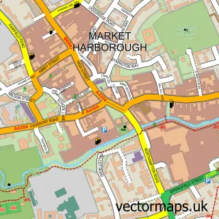

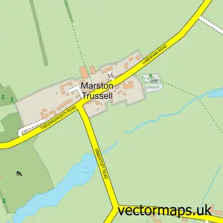
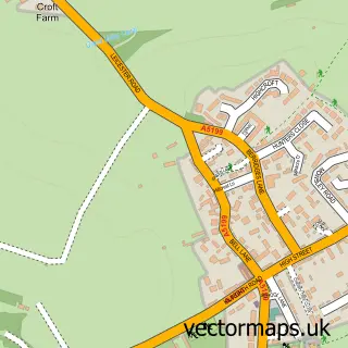
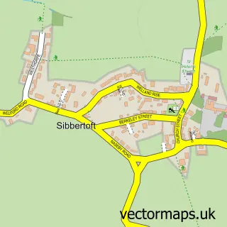

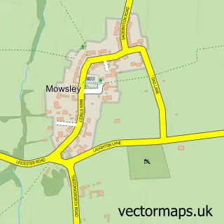
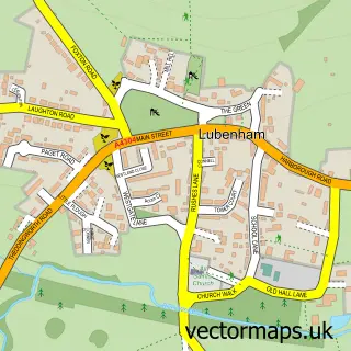
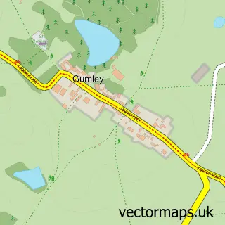
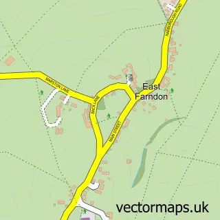
More street maps in Leicestershire
750 metre map area coverage
Boundary, postcode and point of interest information for the 750m x 750m rectangle centred on this sample map.
Boundaries containing map centre
Constituency: Harborough, Oadby and Wigston Co Const
County: Leicestershire County
District: Harborough District
Icb: NHS Leicester Leicestershire and Rutland ICB
Parish: Theddingworth CP
Police Force: leicestershire
Postcode District: LE17
Postcode Sector: LE17 6
Ward: Lubenham Ward
Nearby boundaries intersecting sample
Constituency: Daventry Co Const
District: West Northamptonshire
Icb: NHS Northamptonshire ICB
Parish: Marston Trussell CP
Police Force: northamptonshire
Ward: Rural North East Ward
Postcode coverage
POI category counts
Building Supply Store: 1
Community Services Non Profits: 1
Construction Services: 1
Furniture Store: 1
Hotel: 1
Playground: 1
Town Hall: 1
Tutoring Center: 1
Windows Installation: 1
Winery: 1
Sample points of interest
- S White Cleaning
- Theddingworth All Saints Church
- S&P Construction
- S.J Nott Co
- Crown Inn Theddingworth
- Theddingworth Play Park
- Theddingworth Village Hall
- The Ed Shed
- Premier Pro Clean
- Welland Valley Vineyard Ltd
Create a larger editable map of Theddingworth
This sample shows only a 750 metre area. To create a larger map of Theddingworth, use our map builder to choose your own coverage area, add titles and download editable SVG, PDF and PNG files.
Create a custom map of Theddingworth