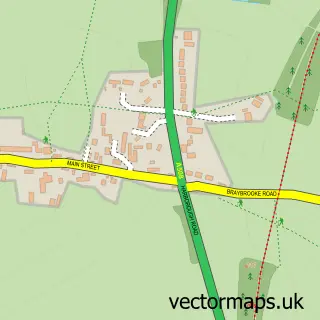
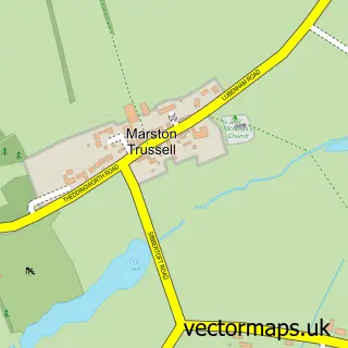
This Clipston street map is a detailed vector street map covering a 750m x 750m area. Select a larger area to create and download your own vector street map of Clipston.
The 750-metre map sample for Clipston covers 220 mapped buildings and approximately 15.1 km of road detail, of which 17 named roads are named. The immediate area includes 1 school and 2 pubs. The wider area around Clipston features 1 tourism point of interest and 2 food and drink venues. To create a larger or custom map of Clipston, the map builder lets you define your own coverage area and download editable SVG, PDF and PNG files.
Create a larger editable map of Clipston
Choose any area you need and generate a high-quality vector map instantly. Perfect for print, planning, design, business and personal use.

This Clipston street map in Northamptonshire is available as downloadable SVG, PDF and PNG map files, or as a printed map for planning, business, display, education, local information and design work. You can also create a larger custom map area using the map selector.
What this Clipston map sample shows
Clipston lies within Clipston Cp parish, part of Welford ward in the West Northamptonshire local authority area. The postcode geography for this area includes the LE postcode area, the LE16 postcode district and the LE16 9 postcode sector. Residents fall under the Nhs Northamptonshire Integrated Care Board for NHS services.
Local features near Clipston
Within 2 milesAmenities and services in and around Clipston.
Administrative and postcode information for Clipston
Clipston lies within Clipston Cp parish, part of Welford ward in the West Northamptonshire local authority area. The postcode geography for this area includes the LE postcode area, the LE16 postcode district and the LE16 9 postcode sector. Residents fall under the Nhs Northamptonshire Integrated Care Board for NHS services.
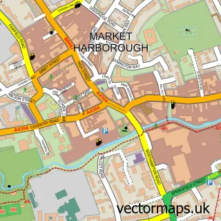
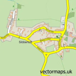
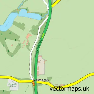
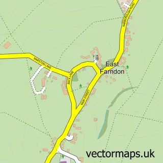
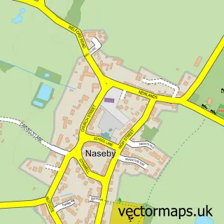
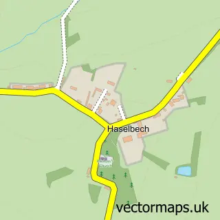
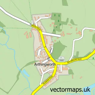
Nearby street map samples around Clipston

More street maps in Northamptonshire
750 metre map area coverage
Boundary, postcode and point of interest information for the 750m x 750m rectangle centred on this sample map.
Boundaries containing map centre
Constituency: Daventry Co Const
District: West Northamptonshire
Icb: NHS Northamptonshire ICB
Parish: Clipston CP
Police Force: northamptonshire
Postcode District: LE16
Postcode Sector: LE16 9
Ward: Rural North East Ward
Nearby boundaries intersecting sample
No additional intersecting boundaries found.
Postcode coverage
POI category counts
Building Supply Store: 2
Pub: 2
Advertising Agency: 1
Agricultural Service: 1
Anglican Church: 1
Architectural Designer: 1
Campground: 1
Convenience Store: 1
Elementary School: 1
Farm: 1
Sample points of interest
- Octagon Creative
- Morgan Farm Machinery Ltd
- ALL SAINTS, Clipston, Northamptonshire
- Michael Lavender Architects
- Environmental Energies
- Great Little Garden Company
- Screwpegs
- The high street off-licence
- Clipston Endowed Controlled Primary School
- Clipston Egg Company
- Wren And Moss
- The Children's Therapy Services
Create a larger editable map of Clipston
This sample shows only a 750 metre area. To create a larger map of Clipston, use our map builder to choose your own coverage area, add titles and download editable SVG, PDF and PNG files.
Create a custom map of Clipston