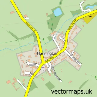
This Old street map is a detailed vector street map covering a 750m x 750m area. Select a larger area to create and download your own vector street map of Old.
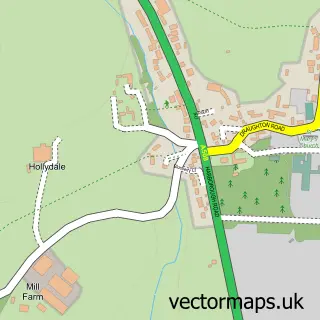
The 750-metre map sample for Old covers 140 mapped buildings and approximately 18.7 km of road detail, of which 12 named roads are named. The immediate area includes 1 pub. The wider area around Old features 1 food and drink venue. To create a larger or custom map of Old, the map builder lets you define your own coverage area and download editable SVG, PDF and PNG files.
Create a larger editable map of Old
Choose any area you need and generate a high-quality vector map instantly. Perfect for print, planning, design, business and personal use.

This Old street map in Northamptonshire is available as downloadable SVG, PDF and PNG map files, or as a printed map for planning, business, display, education, local information and design work. You can also create a larger custom map area using the map selector.
What this Old map sample shows
Old lies within Old Cp parish, part of Walgrave ward in the West Northamptonshire local authority area. The postcode geography for this area includes the NN postcode area, the NN6 postcode district and the NN6 9 postcode sector. Residents fall under the Nhs Northamptonshire Integrated Care Board for NHS services.
Local features near Old
Within 2 milesAmenities and services in and around Old.
Administrative and postcode information for Old
The local authority covering Old is West Northamptonshire, within the county of Northamptonshire. The settlement lies within Walgrave ward and Old Cp civil parish. The NN6 postcode district and NN6 9 postcode sector serve the immediate area. NHS provision in the area is delivered through Northampton General Hospital Nhs Trust.
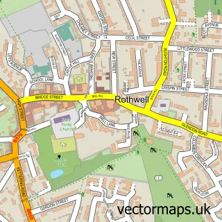
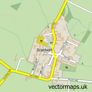
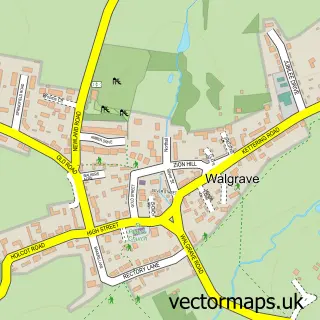
Nearby street map samples around Old

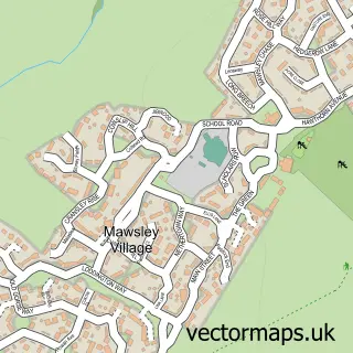
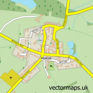
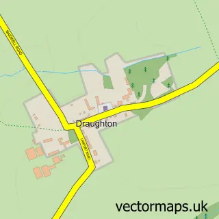
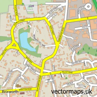
More street maps in Northamptonshire
750 metre map area coverage
Boundary, postcode and point of interest information for the 750m x 750m rectangle centred on this sample map.
Boundaries containing map centre
Constituency: Daventry Co Const
District: West Northamptonshire
Icb: NHS Northamptonshire ICB
Parish: Old CP
Police Force: northamptonshire
Postcode District: NN6
Postcode Sector: NN6 9
Ward: Rural North East Ward
Nearby boundaries intersecting sample
Parish: Lamport CP
Postcode coverage
POI category counts
Funeral Services And Cemeteries: 4
Cremation Services: 3
Anglican Church: 1
Aviation Museum: 1
Charity Organization: 1
Church Cathedral: 1
Electronics: 1
Landscaping: 1
Masonry Contractors: 1
Pool Cleaning: 1
Sample points of interest
- St Andrew's, Old
- Harrington Aviation Museum Society
- Old Village Hall
- St Andrew's Church
- R G R Memorials Ltd.
- Rgr Memorials
- Rgr Memorials Ltd.
- Lowther Loudspeakers
- Quality Headstones & Memorials
- W T Drage & Sons - Quality Headstones & Memorials
- W T Drage & Sons - Quality Headstones & Memorials
- W T Trage & Sons
Create a larger editable map of Old
This sample shows only a 750 metre area. To create a larger map of Old, use our map builder to choose your own coverage area, add titles and download editable SVG, PDF and PNG files.
Create a custom map of Old