This Holcot street map is a detailed vector street map covering a 750m x 750m area. Select a larger area to create and download your own vector street map of Holcot.
The 750-metre map sample for Holcot covers 131 mapped buildings and approximately 22.2 km of road detail, of which 10 named roads are named. The immediate area includes 1 pub and 1 MOT station within 2 miles. The wider area around Holcot features 1 food and drink venue. To create a larger or custom map of Holcot, the map builder lets you define your own coverage area and download editable SVG, PDF and PNG files.
Create a larger editable map of Holcot
Choose any area you need and generate a high-quality vector map instantly. Perfect for print, planning, design, business and personal use.

This Holcot street map in Northamptonshire is available as downloadable SVG, PDF and PNG map files, or as a printed map for planning, business, display, education, local information and design work. You can also create a larger custom map area using the map selector.
What this Holcot map sample shows
Holcot lies within Holcot Cp parish, part of Walgrave ward in the West Northamptonshire local authority area. The postcode geography for this area includes the NN postcode area, the NN6 postcode district and the NN6 9 postcode sector. Residents fall under the Nhs Northamptonshire Integrated Care Board for NHS services.
Local features near Holcot
Within 2 milesAmenities and services in and around Holcot.
Administrative and postcode information for Holcot
Holcot lies within Holcot Cp parish, part of Walgrave ward in the West Northamptonshire local authority area. The postcode geography for this area includes the NN postcode area, the NN6 postcode district and the NN6 9 postcode sector. Residents fall under the Nhs Northamptonshire Integrated Care Board for NHS services.
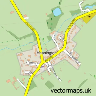
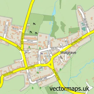
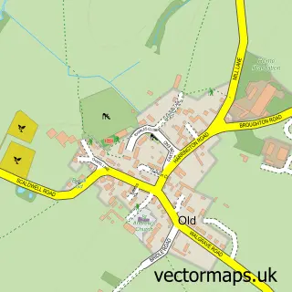
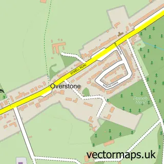
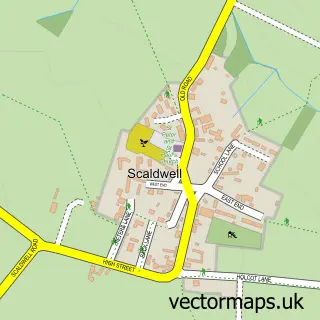
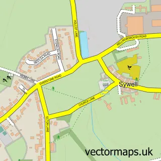
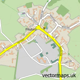
Nearby street map samples around Holcot


More street maps in Northamptonshire
750 metre map area coverage
Boundary, postcode and point of interest information for the 750m x 750m rectangle centred on this sample map.
Boundaries containing map centre
Constituency: Daventry Co Const
District: West Northamptonshire
Icb: NHS Northamptonshire ICB
Parish: Holcot CP
Police Force: northamptonshire
Postcode District: NN6
Postcode Sector: NN6 9
Ward: Rural North East Ward
Nearby boundaries intersecting sample
No additional intersecting boundaries found.
Postcode coverage
POI category counts
Active Life: 1
Automotive Services And Repair: 1
Beauty Salon: 1
Charity Organization: 1
Church Cathedral: 1
Clothing Store: 1
Community Center: 1
Doctor: 1
Farm: 1
Hunting And Fishing Supplies: 1
Sample points of interest
- Pitsford Fishing Lodge
- Driven Miles
- LA Skin Spa
- The Wilson Foundation
- St Mary and All Saints Church
- PCI Gb
- Holcot Village Hall
- Papilio Cosmetic Suites
- Covert Farm Livery
- Pitsford Fishing Lodge
- Boilers Direct UK
- E J Wheldon Plumbing and Heating
Create a larger editable map of Holcot
This sample shows only a 750 metre area. To create a larger map of Holcot, use our map builder to choose your own coverage area, add titles and download editable SVG, PDF and PNG files.
Create a custom map of Holcot