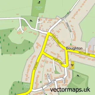
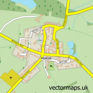
This Pitsford street map is a detailed vector street map covering a 750m x 750m area. Select a larger area to create and download your own vector street map of Pitsford.
The 750-metre map sample for Pitsford covers 216 mapped buildings and approximately 17.3 km of road detail, of which 13 named roads are named. The immediate area includes 2 schools, 1 pub and 6 MOT stations within 2 miles. The wider area around Pitsford features 1 food and drink venue. To create a larger or custom map of Pitsford, the map builder lets you define your own coverage area and download editable SVG, PDF and PNG files.
Create a larger editable map of Pitsford
Choose any area you need and generate a high-quality vector map instantly. Perfect for print, planning, design, business and personal use.

This Pitsford street map in Northamptonshire is available as downloadable SVG, PDF and PNG map files, or as a printed map for planning, business, display, education, local information and design work. You can also create a larger custom map area using the map selector.
What this Pitsford map sample shows
Pitsford lies within Pitsford Cp parish, part of Spratton ward in the West Northamptonshire local authority area. The postcode geography for this area includes the NN postcode area, the NN6 postcode district and the NN6 9 postcode sector. Residents fall under the Nhs Northamptonshire Integrated Care Board for NHS services.
Local features near Pitsford
Within 2 milesAmenities and services in and around Pitsford.
Administrative and postcode information for Pitsford
Pitsford lies within Pitsford Cp parish, part of Spratton ward in the West Northamptonshire local authority area. The postcode geography for this area includes the NN postcode area, the NN6 postcode district and the NN6 9 postcode sector. Residents fall under the Nhs Northamptonshire Integrated Care Board for NHS services.
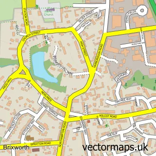
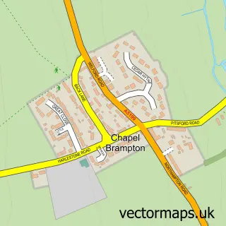
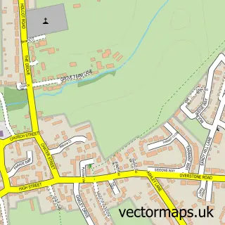
Nearby street map samples around Pitsford


More street maps in Northamptonshire
750 metre map area coverage
Boundary, postcode and point of interest information for the 750m x 750m rectangle centred on this sample map.
Boundaries containing map centre
Constituency: Daventry Co Const
District: West Northamptonshire
Icb: NHS Northamptonshire ICB
Parish: Pitsford CP
Police Force: northamptonshire
Postcode District: NN6
Postcode Sector: NN6 9
Ward: Moulton Ward
Nearby boundaries intersecting sample
No additional intersecting boundaries found.
Postcode coverage
POI category counts
Accountant: 1
Anglican Church: 1
Auto Detailing: 1
Church Cathedral: 1
Cooking School: 1
Electrician: 1
Elementary School: 1
Farmers Market: 1
Graphic Designer: 1
Information Technology Company: 1
Sample points of interest
- B R Bamford Chartered Accountants
- All Saints' Church, Pitsford
- Carter's Detailing
- All Saints Church
- The Sourdough School
- Bennett Electrical
- Pitsford Primary School
- Local Grocers
- Wells Design Partnership
- Picard Solutions
- Lycetts
- Local Grocers
Create a larger editable map of Pitsford
This sample shows only a 750 metre area. To create a larger map of Pitsford, use our map builder to choose your own coverage area, add titles and download editable SVG, PDF and PNG files.
Create a custom map of Pitsford