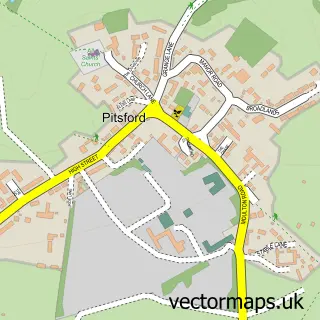
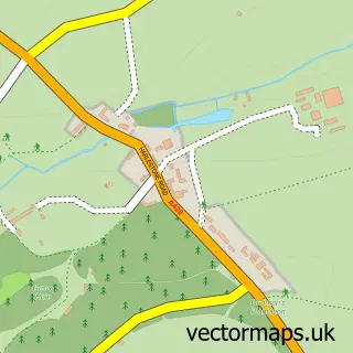
This Boughton street map is a detailed vector street map covering a 750m x 750m area. Select a larger area to create and download your own vector street map of Boughton.
The 750-metre map sample for Boughton covers 198 mapped buildings and approximately 13.1 km of road detail, of which 11 named roads are named. The immediate area includes 1 school, 4 GP surgeries within 2 miles, 1 pub and 7 MOT stations within 2 miles. The wider area around Boughton features 1 tourism point of interest and 1 food and drink venue. To create a larger or custom map of Boughton, the map builder lets you define your own coverage area and download editable SVG, PDF and PNG files.
Create a larger editable map of Boughton
Choose any area you need and generate a high-quality vector map instantly. Perfect for print, planning, design, business and personal use.

This Boughton street map in Northamptonshire is available as downloadable SVG, PDF and PNG map files, or as a printed map for planning, business, display, education, local information and design work. You can also create a larger custom map area using the map selector.
What this Boughton map sample shows
Boughton lies within Boughton Cp parish, part of Spratton ward in the West Northamptonshire local authority area. The postcode geography for this area includes the NN postcode area, the NN2 postcode district and the NN2 8 postcode sector. Residents fall under the Nhs Northamptonshire Integrated Care Board for NHS services.
Local features near Boughton
Within 2 milesAmenities and services in and around Boughton.
Administrative and postcode information for Boughton
The local authority covering Boughton is West Northamptonshire, within the county of Northamptonshire. The settlement lies within Spratton ward and Boughton Cp civil parish. The NN2 postcode district and NN2 8 postcode sector serve the immediate area. NHS provision in the area is delivered through Northampton General Hospital Nhs Trust.
Nearby street map samples around Boughton


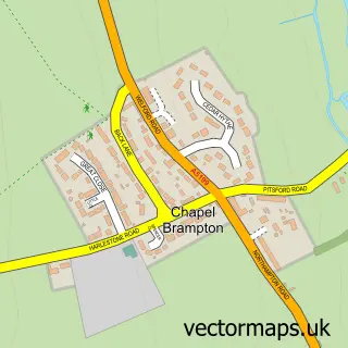
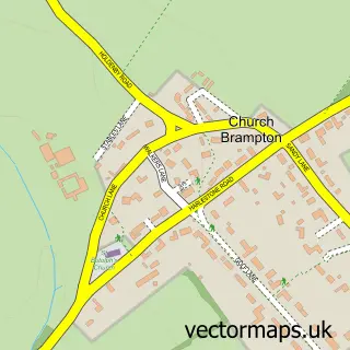
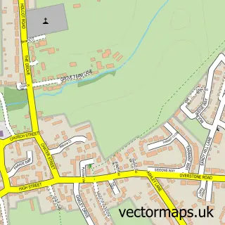
More street maps in Northamptonshire
750 metre map area coverage
Boundary, postcode and point of interest information for the 750m x 750m rectangle centred on this sample map.
Boundaries containing map centre
Constituency: Daventry Co Const
District: West Northamptonshire
Icb: NHS Northamptonshire ICB
Parish: Boughton CP
Police Force: northamptonshire
Postcode District: NN2
Postcode Sector: NN2 8
Ward: Moulton Ward
Nearby boundaries intersecting sample
No additional intersecting boundaries found.
Postcode coverage
POI category counts
Party Equipment Rental: 2
Anglican Church: 1
Architectural Designer: 1
Arts And Entertainment: 1
Church Cathedral: 1
Community Center: 1
Corporate Entertainment Services: 1
Elementary School: 1
Event Technology Service: 1
Financial Service: 1
Sample points of interest
- St John the Baptist Boughton (including Buckton Fields)
- Mould and condensation expert
- Just Party
- Boughton Parish Church of St John the Baptist
- Boughton Village Hall
- Livelines UK
- Boughton Primary School
- Stage Right Productions
- Brian Barber Associates
- Euro Food Brands Ltd
- All gone waste management
- Freestyle Soccer Academy
Create a larger editable map of Boughton
This sample shows only a 750 metre area. To create a larger map of Boughton, use our map builder to choose your own coverage area, add titles and download editable SVG, PDF and PNG files.
Create a custom map of Boughton