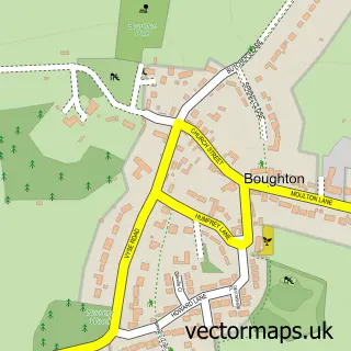
This Moulton street map is a detailed vector street map covering a 750m x 750m area. Select a larger area to create and download your own vector street map of Moulton.
The 750-metre map sample for Moulton covers 340 mapped buildings and approximately 20.0 km of road detail, of which 32 named roads are named. The immediate area includes 2 GP surgeries within 2 miles, 2 pubs and 1 MOT station, with 9 within 2 miles. The wider area around Moulton features 4 food and drink venues. To create a larger or custom map of Moulton, the map builder lets you define your own coverage area and download editable SVG, PDF and PNG files.
Create a larger editable map of Moulton
Choose any area you need and generate a high-quality vector map instantly. Perfect for print, planning, design, business and personal use.

This Moulton street map in Northamptonshire is available as downloadable SVG, PDF and PNG map files, or as a printed map for planning, business, display, education, local information and design work. You can also create a larger custom map area using the map selector.
What this Moulton map sample shows
Moulton lies within Moulton Cp parish, part of Moulton ward in the West Northamptonshire local authority area. The postcode geography for this area includes the NN postcode area, the NN3 postcode district and the NN3 7 postcode sector. Residents fall under the Nhs Northamptonshire Integrated Care Board for NHS services.
Local features near Moulton
Within 2 milesAmenities and services in and around Moulton.
Administrative and postcode information for Moulton
The local authority covering Moulton is West Northamptonshire, within the county of Northamptonshire. The settlement lies within Moulton ward and Moulton Cp civil parish. The NN3 postcode district and NN3 7 postcode sector serve the immediate area. NHS provision in the area is delivered through Northampton General Hospital Nhs Trust.
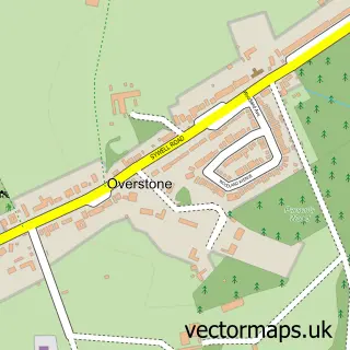
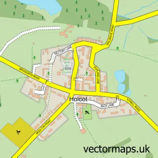
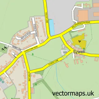
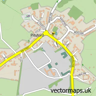
Nearby street map samples around Moulton


More street maps in Northamptonshire
750 metre map area coverage
Boundary, postcode and point of interest information for the 750m x 750m rectangle centred on this sample map.
Boundaries containing map centre
Constituency: Daventry Co Const
District: West Northamptonshire
Icb: NHS Northamptonshire ICB
Parish: Moulton CP
Police Force: northamptonshire
Postcode District: NN3
Postcode Sector: NN3 7
Ward: Moulton Ward
Nearby boundaries intersecting sample
No additional intersecting boundaries found.
Postcode coverage
POI category counts
Business Consulting: 2
Cafe: 2
Carpet Store: 2
Convenience Store: 2
Electrician: 2
Grocery Store: 2
Photography Store And Services: 2
Pub: 2
Shipping Center: 2
Arts And Crafts: 1
Sample points of interest
- Creative Promotions
- Central England Co-Op - Moulton
- Moulton Village Autos
- Maria's Pie's and Catering
- Rachael Morris Aesthetics
- The Wardrobe Moulton
- FibreGlass Mouldings
- Hourglass Interim
- Safety Concern
- Syzygy Leisure Ltd.
- EAT
- The Loft - Cafe & Lounge Bar
Create a larger editable map of Moulton
This sample shows only a 750 metre area. To create a larger map of Moulton, use our map builder to choose your own coverage area, add titles and download editable SVG, PDF and PNG files.
Create a custom map of Moulton