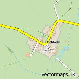
This Pytchley street map is a detailed vector street map covering a 750m x 750m area. Select a larger area to create and download your own vector street map of Pytchley.
The 750-metre map sample for Pytchley covers 167 mapped buildings and approximately 25.4 km of road detail, of which 11 named roads are named. The immediate area includes 1 school, 2 pubs and 6 MOT stations within 2 miles. The wider area around Pytchley features 3 food and drink venues. To create a larger or custom map of Pytchley, the map builder lets you define your own coverage area and download editable SVG, PDF and PNG files.
Create a larger editable map of Pytchley
Choose any area you need and generate a high-quality vector map instantly. Perfect for print, planning, design, business and personal use.

This Pytchley street map in Northamptonshire is available as downloadable SVG, PDF and PNG map files, or as a printed map for planning, business, display, education, local information and design work. You can also create a larger custom map area using the map selector.
What this Pytchley map sample shows
Pytchley lies within Pytchley Cp parish, part of Slade ward in the North Northamptonshire local authority area. The postcode geography for this area includes the NN postcode area, the NN14 postcode district and the NN14 1 postcode sector. Residents fall under the Nhs Northamptonshire Integrated Care Board for NHS services.
Local features near Pytchley
Within 2 milesAmenities and services in and around Pytchley.
Administrative and postcode information for Pytchley
The local authority covering Pytchley is North Northamptonshire, within the county of Northamptonshire. The settlement lies within Slade ward and Pytchley Cp civil parish. The NN14 postcode district and NN14 1 postcode sector serve the immediate area. NHS provision in the area is delivered through Kettering General Hospital Nhs Foundation Trust.
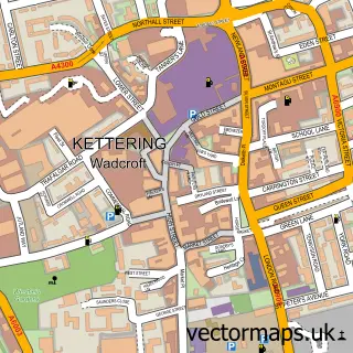
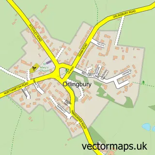
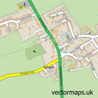
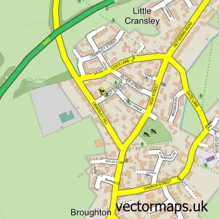
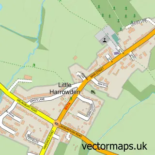
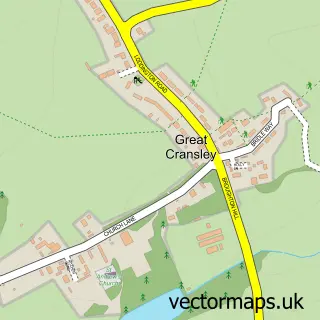
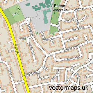
Nearby street map samples around Pytchley

More street maps in Northamptonshire
750 metre map area coverage
Boundary, postcode and point of interest information for the 750m x 750m rectangle centred on this sample map.
Boundaries containing map centre
Constituency: Kettering Co Const
District: North Northamptonshire
Icb: NHS Northamptonshire ICB
Parish: Pytchley CP
Police Force: northamptonshire
Postcode District: NN14
Postcode Sector: NN14 1
Ward: Rothwell & Mawsley Ward
Nearby boundaries intersecting sample
No additional intersecting boundaries found.
Postcode coverage
POI category counts
Pub: 2
Advertising Agency: 1
Anglican Church: 1
Bar: 1
Bus Rentals: 1
Church Cathedral: 1
Coffee Shop: 1
Community Center: 1
Driving School: 1
Elementary School: 1
Sample points of interest
- More Fire PR
- All Saints' Church, Pytchley
- Shane's Bar Pytchley
- R.B. Travel
- All Saints Church
- Costa Coffee
- Pytchley Village Hall
- PSM Driving School
- Pytchley Endowed Church of England Primary School
- Royal Blue Transport Co
- Griffin Payroll Services
- Oundle & District Driving School
Create a larger editable map of Pytchley
This sample shows only a 750 metre area. To create a larger map of Pytchley, use our map builder to choose your own coverage area, add titles and download editable SVG, PDF and PNG files.
Create a custom map of Pytchley