This Barton Seagrave street map is a detailed vector street map covering a 750m x 750m area. Select a larger area to create and download your own vector street map of Barton Seagrave.
The 750-metre map sample for Barton Seagrave covers 635 mapped buildings and approximately 35.5 km of road detail, of which 43 named roads are named. The immediate area includes 1 primary school and 1 secondary school, 3 GP surgeries within 2 miles, 4 pubs and 12 MOT stations within 2 miles. The wider area around Barton Seagrave features 4 food and drink venues and 1 campsite within 2 miles. To create a larger or custom map of Barton Seagrave, the map builder lets you define your own coverage area and download editable SVG, PDF and PNG files.
Create a larger editable map of Barton Seagrave
Choose any area you need and generate a high-quality vector map instantly. Perfect for print, planning, design, business and personal use.

This Barton Seagrave street map in Northamptonshire is available as downloadable SVG, PDF and PNG map files, or as a printed map for planning, business, display, education, local information and design work. You can also create a larger custom map area using the map selector.
What this Barton Seagrave map sample shows
Barton Seagrave lies within Barton Seagrave Cp parish, part of Barton ward in the North Northamptonshire local authority area. The postcode geography for this area includes the NN postcode area, the NN15 postcode district and the NN15 6 postcode sector. Residents fall under the Nhs Northamptonshire Integrated Care Board for NHS services.
Local features near Barton Seagrave
Within 2 milesAmenities and services in and around Barton Seagrave.
Administrative and postcode information for Barton Seagrave
The local authority covering Barton Seagrave is North Northamptonshire, within the county of Northamptonshire. The settlement lies within Barton ward and Barton Seagrave Cp civil parish. The NN15 postcode district and NN15 6 postcode sector serve the immediate area. NHS provision in the area is delivered through Kettering General Hospital Nhs Foundation Trust.
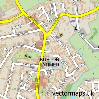
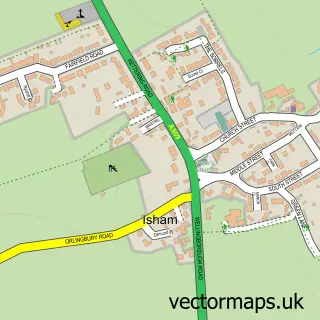
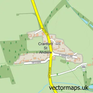
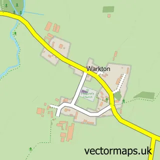
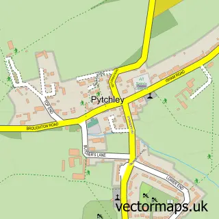
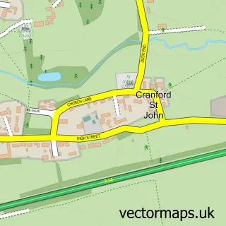
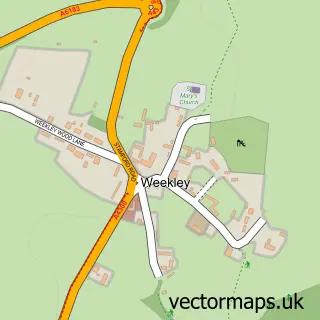
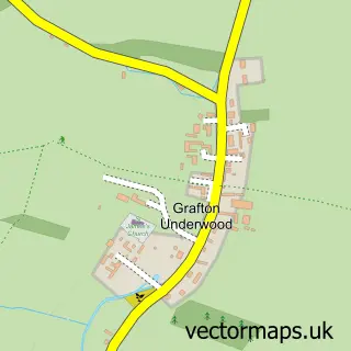
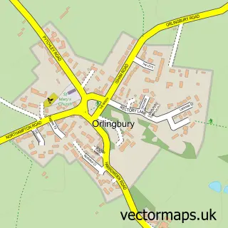
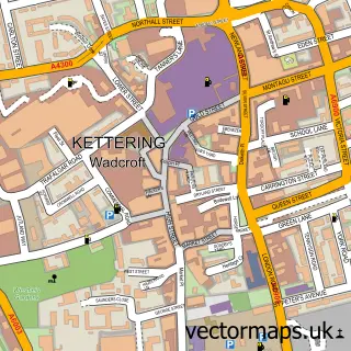
Nearby street map samples around Barton Seagrave

More street maps in Northamptonshire
750 metre map area coverage
Boundary, postcode and point of interest information for the 750m x 750m rectangle centred on this sample map.
Boundaries containing map centre
Constituency: Kettering Co Const
District: North Northamptonshire
Icb: NHS Northamptonshire ICB
Parish: Barton Seagrave CP
Police Force: northamptonshire
Postcode District: NN15
Postcode Sector: NN15 6
Ward: Barton Seagrave & Burton Latimer Ward
Nearby boundaries intersecting sample
Parish: Burton Latimer CP
Postcode coverage
POI category counts
Pub: 4
Home Service: 3
Web Designer: 3
Beauty Salon: 2
Building Supply Store: 2
Convenience Store: 2
Driving School: 2
Elementary School: 2
Land Surveying: 2
Photography Store And Services: 2
Sample points of interest
- Alan J. Currall Ltd
- Polwell Lane Care Home
- PayPoint
- Ashwell Electrical Contractors
- Laura Ami The Art of Hairdressing
- The Retreat at One Four Nine
- Prestige Window Cleaning
- Midland Mechanical Engineers
- Servicemaster
- S&G Builders Ltd
- Service Master
- Christian Day Nurseries
Create a larger editable map of Barton Seagrave
This sample shows only a 750 metre area. To create a larger map of Barton Seagrave, use our map builder to choose your own coverage area, add titles and download editable SVG, PDF and PNG files.
Create a custom map of Barton Seagrave