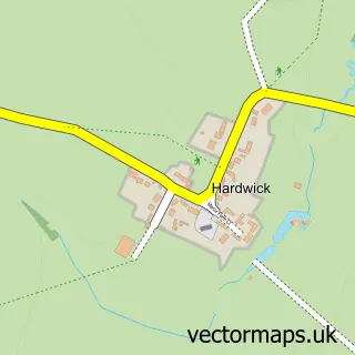
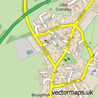
This Little Harrowden street map is a detailed vector street map covering a 750m x 750m area. Select a larger area to create and download your own vector street map of Little Harrowden.
The 750-metre map sample for Little Harrowden covers 210 mapped buildings and approximately 15.3 km of road detail, of which 17 named roads are named. The immediate area includes 1 school, 1 GP surgery within 2 miles and 6 MOT stations within 2 miles. To create a larger or custom map of Little Harrowden, the map builder lets you define your own coverage area and download editable SVG, PDF and PNG files.
Create a larger editable map of Little Harrowden
Choose any area you need and generate a high-quality vector map instantly. Perfect for print, planning, design, business and personal use.

This Little Harrowden street map in Northamptonshire is available as downloadable SVG, PDF and PNG map files, or as a printed map for planning, business, display, education, local information and design work. You can also create a larger custom map area using the map selector.
What this Little Harrowden map sample shows
Little Harrowden lies within Little Harrowden Cp parish, part of Harrowden & Sywell ward in the North Northamptonshire local authority area. The postcode geography for this area includes the NN postcode area, the NN9 postcode district and the NN9 5 postcode sector. Residents fall under the Nhs Northamptonshire Integrated Care Board for NHS services.
Local features near Little Harrowden
Within 2 milesAmenities and services in and around Little Harrowden.
Administrative and postcode information for Little Harrowden
Little Harrowden lies within Little Harrowden Cp parish, part of Harrowden & Sywell ward in the North Northamptonshire local authority area. The postcode geography for this area includes the NN postcode area, the NN9 postcode district and the NN9 5 postcode sector. Residents fall under the Nhs Northamptonshire Integrated Care Board for NHS services.
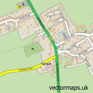
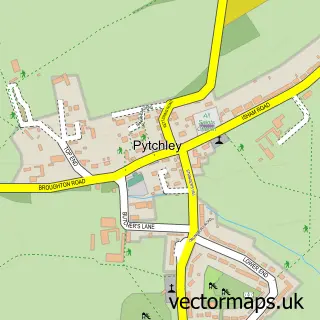
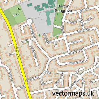
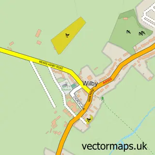
Nearby street map samples around Little Harrowden

More street maps in Northamptonshire
750 metre map area coverage
Boundary, postcode and point of interest information for the 750m x 750m rectangle centred on this sample map.
Boundaries containing map centre
Constituency: Daventry Co Const
District: North Northamptonshire
Icb: NHS Northamptonshire ICB
Parish: Little Harrowden CP
Police Force: northamptonshire
Postcode District: NN9
Postcode Sector: NN9 5
Ward: Earls Barton Ward
Nearby boundaries intersecting sample
Parish: Great Harrowden CP, Orlingbury CP
Postcode District: NN14
Postcode Sector: NN14 1
Postcode coverage
POI category counts
Church Cathedral: 2
Anglican Church: 1
Carpenter: 1
Community Center: 1
Contractor: 1
Elementary School: 1
Engineering Services: 1
Fashion Accessories Store: 1
Fire Protection Service: 1
Home Service: 1
Sample points of interest
- St Mary the Virgin
- M J Lawson
- St Mary the Virgin C of E Church
- St Mary's Church
- Little Harrowden Village Hall
- Colman Floors Ltd
- Little Harrowden Primary School
- I S E Fire Products & Services Ltd.
- The Mug Barn
- ISE Fire
- Shannon Taylor's Childcare
- Field Chemicals Ltd.
Create a larger editable map of Little Harrowden
This sample shows only a 750 metre area. To create a larger map of Little Harrowden, use our map builder to choose your own coverage area, add titles and download editable SVG, PDF and PNG files.
Create a custom map of Little Harrowden