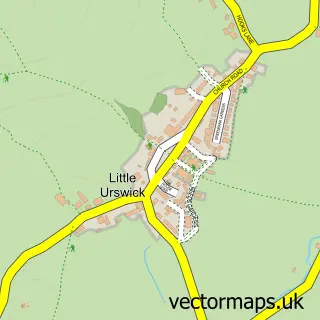
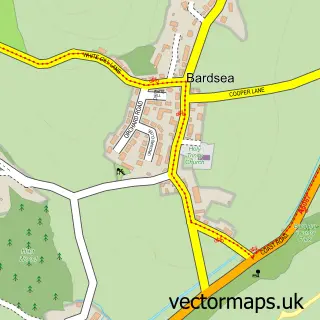
This Great Urswick street map is a detailed vector street map covering a 750m x 750m area. Select a larger area to create and download your own vector street map of Great Urswick.
The 750-metre map sample for Great Urswick covers 137 mapped buildings and approximately 9.1 km of road detail, of which 7 named roads are named. The immediate area includes 1 pub and 3 MOT stations within 2 miles. The wider area around Great Urswick features 1 food and drink venue and 1 hotel. To create a larger or custom map of Great Urswick, the map builder lets you define your own coverage area and download editable SVG, PDF and PNG files.
Create a larger editable map of Great Urswick
Choose any area you need and generate a high-quality vector map instantly. Perfect for print, planning, design, business and personal use.

This Great Urswick street map in Cumbria is available as downloadable SVG, PDF and PNG map files, or as a printed map for planning, business, display, education, local information and design work. You can also create a larger custom map area using the map selector.
What this Great Urswick map sample shows
Great Urswick lies within Urswick Cp parish, part of Furness Peninsula ward in the Westmorland And Furness local authority area. The postcode geography for this area includes the LA postcode area, the LA12 postcode district and the LA12 0 postcode sector. Residents fall under the Nhs Lancashire And South Cumbria Integrated Care Board for NHS services.
Local features near Great Urswick
Within 2 milesAmenities and services in and around Great Urswick.
Administrative and postcode information for Great Urswick
Great Urswick lies within Urswick Cp parish, part of Furness Peninsula ward in the Westmorland And Furness local authority area. The postcode geography for this area includes the LA postcode area, the LA12 postcode district and the LA12 0 postcode sector. Residents fall under the Nhs Lancashire And South Cumbria Integrated Care Board for NHS services.
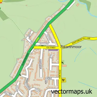
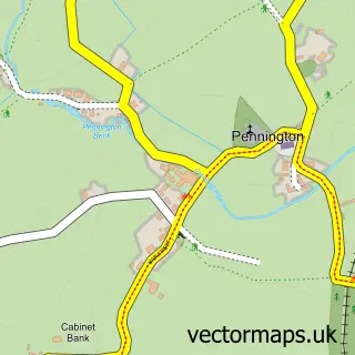
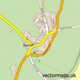
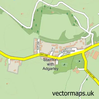
Nearby street map samples around Great Urswick
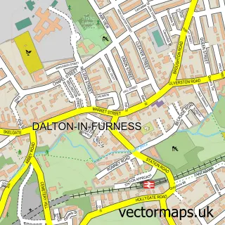

More street maps in Cumbria
750 metre map area coverage
Boundary, postcode and point of interest information for the 750m x 750m rectangle centred on this sample map.
Boundaries containing map centre
Constituency: Barrow and Furness Co Const
District: Westmorland and Furness
Icb: NHS Lancashire and South Cumbria ICB
Parish: Urswick CP
Police Force: cumbria
Postcode District: LA12
Postcode Sector: LA12 0
Ward: Low Furness Ward
Nearby boundaries intersecting sample
No additional intersecting boundaries found.
Postcode coverage
POI category counts
Arts And Entertainment: 1
Beauty Product Supplier: 1
Contractor: 1
Dog Walkers: 1
Gastropub: 1
Health And Medical: 1
Hotel: 1
Hypnosis Hypnotherapy: 1
Lake: 1
Post Office: 1
Sample points of interest
- Great Urswick
- Rapid Tan Sunbeds
- A1
- Wag This Way Dog Walking and Home Boarding
- The General Burgoyne
- Slimming world ulverston claire wood
- Bankfield Hall
- Judy Richardson Cumbria Hypnotherapy
- Great Urswick Tarn
- Great Urswick Post Office
- Amanda O'Brien Counselling & Psychotherapy
- General Burgoyne
Create a larger editable map of Great Urswick
This sample shows only a 750 metre area. To create a larger map of Great Urswick, use our map builder to choose your own coverage area, add titles and download editable SVG, PDF and PNG files.
Create a custom map of Great Urswick