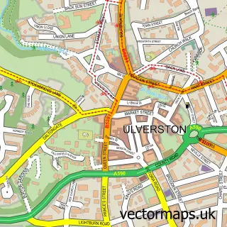
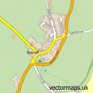
This Swarthmoor street map is a detailed vector street map covering a 750m x 750m area. Select a larger area to create and download your own vector street map of Swarthmoor.
The 750-metre map sample for Swarthmoor covers 235 mapped buildings and approximately 12.6 km of road detail, of which 18 named roads are named. The immediate area includes 2 GP surgeries within 2 miles, 2 pubs and 1 MOT station, with 7 within 2 miles. The wider area around Swarthmoor features 1 tourism point of interest and 2 food and drink venues. To create a larger or custom map of Swarthmoor, the map builder lets you define your own coverage area and download editable SVG, PDF and PNG files.
Create a larger editable map of Swarthmoor
Choose any area you need and generate a high-quality vector map instantly. Perfect for print, planning, design, business and personal use.

This Swarthmoor street map in Cumbria is available as downloadable SVG, PDF and PNG map files, or as a printed map for planning, business, display, education, local information and design work. You can also create a larger custom map area using the map selector.
What this Swarthmoor map sample shows
Swarthmoor lies within Pennington Cp parish, part of Furness Peninsula ward in the Westmorland And Furness local authority area. The postcode geography for this area includes the LA postcode area, the LA12 postcode district and the LA12 0 postcode sector. Residents fall under the Nhs Lancashire And South Cumbria Integrated Care Board for NHS services.
Local features near Swarthmoor
Within 2 milesAmenities and services in and around Swarthmoor.
Administrative and postcode information for Swarthmoor
The local authority covering Swarthmoor is Westmorland And Furness, within the county of Cumbria. The settlement lies within Furness Peninsula ward and Pennington Cp civil parish. The LA12 postcode district and LA12 0 postcode sector serve the immediate area. NHS provision in the area is delivered through University Hospitals Of Morecambe Bay Nhs Foundation Trust.
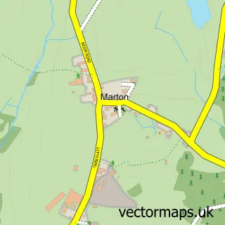
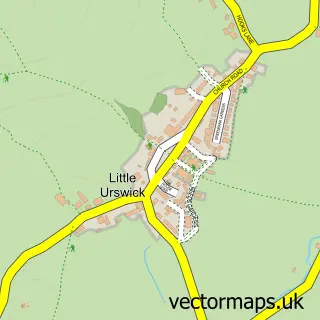
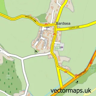
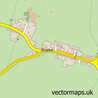
Nearby street map samples around Swarthmoor

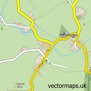
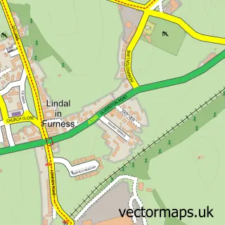
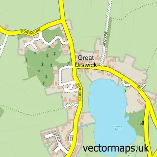
More street maps in Cumbria
750 metre map area coverage
Boundary, postcode and point of interest information for the 750m x 750m rectangle centred on this sample map.
Boundaries containing map centre
Constituency: Barrow and Furness Co Const
District: Westmorland and Furness
Icb: NHS Lancashire and South Cumbria ICB
Parish: Pennington CP
Police Force: cumbria
Postcode District: LA12
Postcode Sector: LA12 0
Ward: Low Furness Ward
Nearby boundaries intersecting sample
Parish: Ulverston CP
Postcode Sector: LA12 7
Ward: High Furness Ward, Ulverston Ward
Postcode coverage
POI category counts
Pub: 2
Bakery: 1
Bed And Breakfast: 1
Carpenter: 1
Contractor: 1
Dog Walkers: 1
Driving School: 1
Electrician: 1
Lake: 1
Landmark And Historical Building: 1
Sample points of interest
- Bevs Bakes Swarthmoor
- Red Lion House
- Pbw Joinery
- All Trades - Property Maintenance & Construction, South Cumbria
- Craig's Dog Walking & Pet Services
- Top Gear School Of Motoring
- LB Electrical Cumbria
- High Dam
- Swarthmoor
- Ironing Bored
- Park Road Garage
- FES Pest Control
Create a larger editable map of Swarthmoor
This sample shows only a 750 metre area. To create a larger map of Swarthmoor, use our map builder to choose your own coverage area, add titles and download editable SVG, PDF and PNG files.
Create a custom map of Swarthmoor