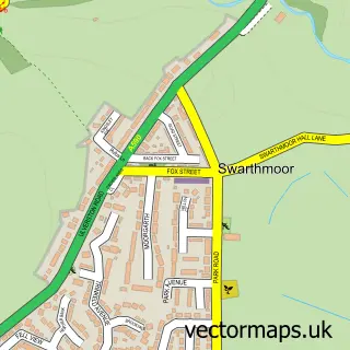
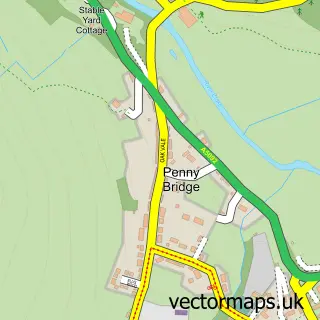
This Ulverston street map is a detailed vector street map covering a 750m x 750m area. Select a larger area to create and download your own vector street map of Ulverston.
The 750-metre map sample for Ulverston covers 417 mapped buildings and approximately 25.8 km of road detail, of which 64 named roads are named. The immediate area includes 1 school, 2 GP surgeries, 12 pubs and 2 MOT stations, with 7 within 2 miles. The wider area around Ulverston features 5 tourism points of interest, 30 food and drink venues and 6 hotels. To create a larger or custom map of Ulverston, the map builder lets you define your own coverage area and download editable SVG, PDF and PNG files.
Create a larger editable map of Ulverston
Choose any area you need and generate a high-quality vector map instantly. Perfect for print, planning, design, business and personal use.

This Ulverston street map in Cumbria is available as downloadable SVG, PDF and PNG map files, or as a printed map for planning, business, display, education, local information and design work. You can also create a larger custom map area using the map selector.
What this Ulverston map sample shows
Ulverston lies within Ulverston Cp parish, part of Ulverston East ward in the Westmorland And Furness local authority area. The postcode geography for this area includes the LA postcode area, the LA12 postcode district and the LA12 7 postcode sector. Residents fall under the Nhs Lancashire And South Cumbria Integrated Care Board for NHS services.
Local features near Ulverston
Within 2 milesAmenities and services in and around Ulverston.
Administrative and postcode information for Ulverston
The local authority covering Ulverston is Westmorland And Furness, within the county of Cumbria. The settlement lies within Ulverston East ward and Ulverston Cp civil parish. The LA12 postcode district and LA12 7 postcode sector serve the immediate area. NHS provision in the area is delivered through University Hospitals Of Morecambe Bay Nhs Foundation Trust.
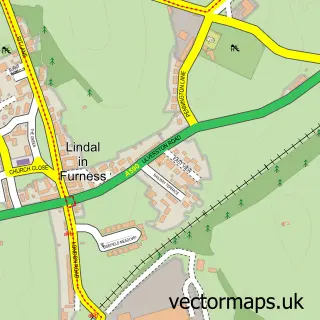
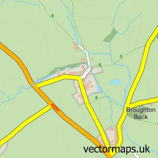
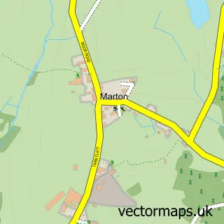
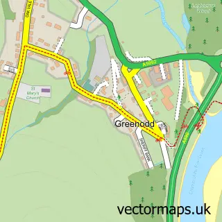
Nearby street map samples around Ulverston

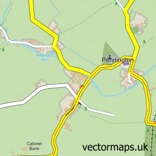
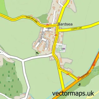
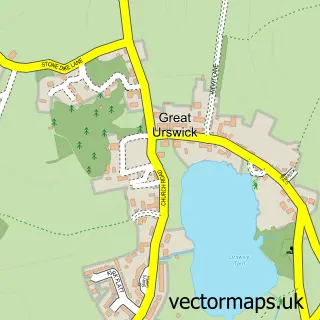
More street maps in Cumbria
750 metre map area coverage
Boundary, postcode and point of interest information for the 750m x 750m rectangle centred on this sample map.
Boundaries containing map centre
Constituency: Barrow and Furness Co Const
District: Westmorland and Furness
Icb: NHS Lancashire and South Cumbria ICB
Parish: Ulverston CP
Police Force: cumbria
Postcode District: LA12
Postcode Sector: LA12 7
Ward: Ulverston Ward
Nearby boundaries intersecting sample
Parish: Osmotherley CP
Postcode Sector: LA12 0
Ward: High Furness Ward
Postcode coverage
POI category counts
Beauty Salon: 15
Professional Services: 14
Flowers And Gifts Shop: 13
Pub: 12
Beauty And Spa: 10
Dentist: 10
Cafe: 9
Real Estate Agent: 9
Hair Salon: 8
Retail: 8
Sample points of interest
- Lonsdale House Boutique Apartments
- R F Miller & Co
- Georgie Robson Acupuncture
- Lilla Cooper Acupuncture
- Deep Red Creative
- Thebestof Barrow And Furness
- Ulverston: St Mary w Holy Trinity
- Fourpence Cafe
- King Street Vintage
- The Shop Floor Project
- Building Design Northern
- Tape Design Ltd.
Create a larger editable map of Ulverston
This sample shows only a 750 metre area. To create a larger map of Ulverston, use our map builder to choose your own coverage area, add titles and download editable SVG, PDF and PNG files.
Create a custom map of Ulverston