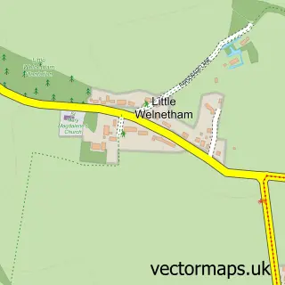
This Great Whelnetham street map is a detailed vector street map covering a 750m x 750m area. Select a larger area to create and download your own vector street map of Great Whelnetham.
The 750-metre map sample for Great Whelnetham covers 49 mapped buildings and approximately 5.9 km of road detail, of which 3 named roads are named. To create a larger or custom map of Great Whelnetham, the map builder lets you define your own coverage area and download editable SVG, PDF and PNG files.
Create a larger editable map of Great Whelnetham
Choose any area you need and generate a high-quality vector map instantly. Perfect for print, planning, design, business and personal use.

This Great Whelnetham street map in Suffolk is available as downloadable SVG, PDF and PNG map files, or as a printed map for planning, business, display, education, local information and design work. You can also create a larger custom map area using the map selector.
What this Great Whelnetham map sample shows
Great Whelnetham lies within Great Whelnetham Cp parish, part of Horringer ward in the West Suffolk District local authority area. The postcode geography for this area includes the IP postcode area, the IP30 postcode district and the IP30 0 postcode sector. Residents fall under the Nhs Suffolk And North East Essex Integrated Care Board for NHS services.
Administrative and postcode information for Great Whelnetham
Great Whelnetham lies within Great Whelnetham Cp parish, part of Horringer ward in the West Suffolk District local authority area. The postcode geography for this area includes the IP postcode area, the IP30 postcode district and the IP30 0 postcode sector. Residents fall under the Nhs Suffolk And North East Essex Integrated Care Board for NHS services.
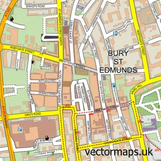
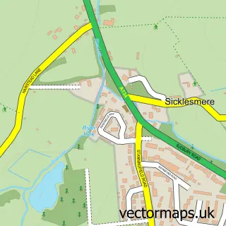
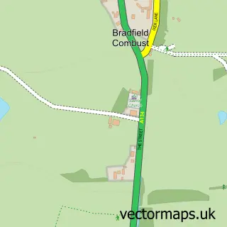
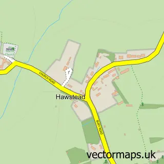
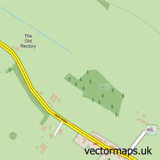
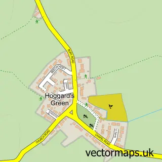
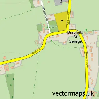
Nearby street map samples around Great Whelnetham


More street maps in Suffolk
750 metre map area coverage
Boundary, postcode and point of interest information for the 750m x 750m rectangle centred on this sample map.
Boundaries containing map centre
Constituency: West Suffolk Co Const
County: Suffolk County
District: West Suffolk District
Icb: NHS Essex ICB
Parish: Great Whelnetham CP
Police Force: suffolk
Postcode District: IP30
Postcode Sector: IP30 0
Ward: Horringer Ward
Nearby boundaries intersecting sample
Parish: Little Whelnetham CP
Postcode coverage
POI category counts
Auto Customization: 1
Business Manufacturing And Supply: 1
Contractor: 1
Gift Shop: 1
Hvac Services: 1
Linen: 1
Pet Sitting: 1
Pets: 1
Real Estate Agent: 1
Specialty Grocery Store: 1
Sample points of interest
- Hennessey Performance
- Eastern Transformers & Equipment Ltd
- G B Upholstery
- Jaguar Educational UK
- Colnestoves
- Refined Blinds & Shutters
- Suffolk Hunt
- Judges Choice Petfood Ltd.
- Anglian Trailer Centre
- Hennessey Lifestyle
- Trek Trailers
- Equi-Trek Suffolk
Create a larger editable map of Great Whelnetham
This sample shows only a 750 metre area. To create a larger map of Great Whelnetham, use our map builder to choose your own coverage area, add titles and download editable SVG, PDF and PNG files.
Create a custom map of Great Whelnetham