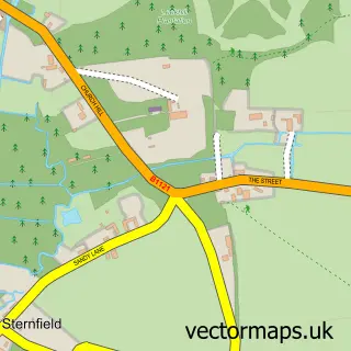
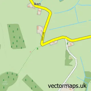
This Gromford street map is a detailed vector street map covering a 750m x 750m area. Select a larger area to create and download your own vector street map of Gromford.
The 750-metre map sample for Gromford covers 65 mapped buildings and approximately 9.3 km of road detail, of which 5 named roads are named. The immediate area includes 2 MOT stations within 2 miles. The wider area around Gromford features 1 tourism point of interest. To create a larger or custom map of Gromford, the map builder lets you define your own coverage area and download editable SVG, PDF and PNG files.
Create a larger editable map of Gromford
Choose any area you need and generate a high-quality vector map instantly. Perfect for print, planning, design, business and personal use.

This Gromford street map in Suffolk is available as downloadable SVG, PDF and PNG map files, or as a printed map for planning, business, display, education, local information and design work. You can also create a larger custom map area using the map selector.
What this Gromford map sample shows
Gromford lies within Snape Cp parish, part of Aldeburgh & Leiston ward in the East Suffolk District local authority area. The postcode geography for this area includes the IP postcode area, the IP17 postcode district and the IP17 1 postcode sector. Residents fall under the Nhs Suffolk And North East Essex Integrated Care Board for NHS services.
Local features near Gromford
Within 2 milesAmenities and services in and around Gromford.
Administrative and postcode information for Gromford
Gromford lies within Snape Cp parish, part of Aldeburgh & Leiston ward in the East Suffolk District local authority area. The postcode geography for this area includes the IP postcode area, the IP17 postcode district and the IP17 1 postcode sector. Residents fall under the Nhs Suffolk And North East Essex Integrated Care Board for NHS services.
Nearby street map samples around Gromford

More street maps in Suffolk
750 metre map area coverage
Boundary, postcode and point of interest information for the 750m x 750m rectangle centred on this sample map.
Boundaries containing map centre
Constituency: Suffolk Coastal Co Const
County: Suffolk County
District: East Suffolk District
Icb: NHS Essex ICB
Parish: Snape CP
Police Force: suffolk
Postcode District: IP17
Postcode Sector: IP17 1
Ward: Aldeburgh & Leiston Ward
Nearby boundaries intersecting sample
Constituency: Central Suffolk and North Ipswich Co Const
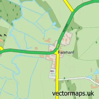
Parish: Farnham CP
Ward: Wickham Market Ward
Postcode coverage
POI category counts
Business Equipment And Supply: 1
Farm: 1
Forestry Service: 1
Landmark And Historical Building: 1
Lodge: 1
Nursery And Gardening: 1
Sample points of interest
- Vip Garden Machinery
- Croft Farm, Farnham Rd, Saxmundham
- E R Gillett Farmer
- Gromford
- Hulver Lodge
- Ladybird Nurseries
Create a larger editable map of Gromford
This sample shows only a 750 metre area. To create a larger map of Gromford, use our map builder to choose your own coverage area, add titles and download editable SVG, PDF and PNG files.
Create a custom map of Gromford