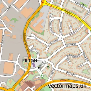
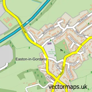
This Hallen street map is a detailed vector street map covering a 750m x 750m area. Select a larger area to create and download your own vector street map of Hallen.
The 750-metre map sample for Hallen covers 150 mapped buildings and approximately 10.2 km of road detail, of which 8 named roads are named. The immediate area includes 1 GP surgery within 2 miles, 1 pub and 13 MOT stations within 2 miles. The wider area around Hallen features 1 tourism point of interest and 1 food and drink venue. To create a larger or custom map of Hallen, the map builder lets you define your own coverage area and download editable SVG, PDF and PNG files.
Create a larger editable map of Hallen
Choose any area you need and generate a high-quality vector map instantly. Perfect for print, planning, design, business and personal use.

This Hallen street map in Gloucestershire is available as downloadable SVG, PDF and PNG map files, or as a printed map for planning, business, display, education, local information and design work. You can also create a larger custom map area using the map selector.
What this Hallen map sample shows
Hallen lies within Almondsbury Cp parish, part of Pilning & Severn Beach ward in the South Gloucestershire local authority area. The postcode geography for this area includes the BS postcode area, the BS10 postcode district and the BS10 7 postcode sector. Residents fall under the Nhs Bristol, North Somerset And South Gloucestershire Integrated Care Board for NHS services.
Local features near Hallen
Within 2 milesAmenities and services in and around Hallen.
Administrative and postcode information for Hallen
The local authority covering Hallen is South Gloucestershire, within the county of Gloucestershire. The settlement lies within Pilning & Severn Beach ward and Almondsbury Cp civil parish. The BS10 postcode district and BS10 7 postcode sector serve the immediate area. NHS provision in the area is delivered through North Bristol Nhs Trust.
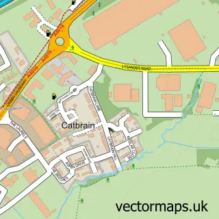
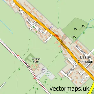
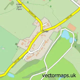
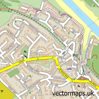
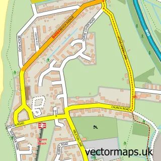
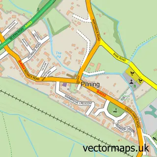
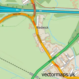
Nearby street map samples around Hallen

More street maps in Gloucestershire
750 metre map area coverage
Boundary, postcode and point of interest information for the 750m x 750m rectangle centred on this sample map.
Boundaries containing map centre
Constituency: Thornbury and Yate Co Const
District: South Gloucestershire
Icb: NHS Bristol North Somerset and South Gloucestershire ICB
Parish: Almondsbury CP
Police Force: avon and somerset
Postcode District: BS10
Postcode Sector: BS10 7
Ward: Pilning & Severn Beach Ward
Nearby boundaries intersecting sample
Constituency: Bristol North West Boro Const
District: City of Bristol (B)
Ward: Avonmouth & Lawrence Weston Ward
Postcode coverage
POI category counts
Roofing: 3
Cleaning Services: 2
Amateur Sports Team: 1
Arts And Crafts: 1
Automotive Repair: 1
Automotive Services And Repair: 1
Automotive Storage Facility: 1
Beauty And Spa: 1
Beauty Salon: 1
Campground: 1
Sample points of interest
- Old Elizabethans R.F.C
- A Bit Woolly
- John Chatham Classic Cars
- John Chatham Cars
- Chatham-Vault & Vehicle Storage
- Plasma Skin Lift and Tightening Bristol
- Semi permanent makeup by Katy jones
- West Country Park Home States
- Dobbins Industrial Cleaning
- Hallen Plant Services
- Hallen Village Hall and Recreation Centre
- Westside Contracting Ltd
Create a larger editable map of Hallen
This sample shows only a 750 metre area. To create a larger map of Hallen, use our map builder to choose your own coverage area, add titles and download editable SVG, PDF and PNG files.
Create a custom map of Hallen