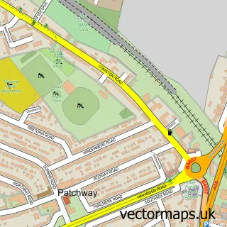
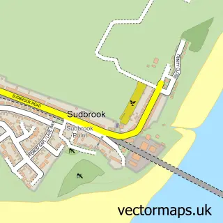
This Severn Beach street map is a detailed vector street map covering a 750m x 750m area. Select a larger area to create and download your own vector street map of Severn Beach.
The 750-metre map sample for Severn Beach covers 302 mapped buildings and approximately 12.6 km of road detail, of which 14 named roads are named. The immediate area includes 1 school, 1 railway station and 1 MOT station within 2 miles. The wider area around Severn Beach features 1 food and drink venue. To create a larger or custom map of Severn Beach, the map builder lets you define your own coverage area and download editable SVG, PDF and PNG files.
Create a larger editable map of Severn Beach
Choose any area you need and generate a high-quality vector map instantly. Perfect for print, planning, design, business and personal use.

This Severn Beach street map in Gloucestershire is available as downloadable SVG, PDF and PNG map files, or as a printed map for planning, business, display, education, local information and design work. You can also create a larger custom map area using the map selector.
What this Severn Beach map sample shows
Severn Beach lies within Pilning And Severn Beach Cp parish, part of Pilning & Severn Beach ward in the South Gloucestershire local authority area. The postcode geography for this area includes the BS postcode area, the BS35 postcode district and the BS35 4 postcode sector. Residents fall under the Nhs Bristol, North Somerset And South Gloucestershire Integrated Care Board for NHS services.
Local features near Severn Beach
Within 2 milesAmenities and services in and around Severn Beach.
Administrative and postcode information for Severn Beach
Severn Beach lies within Pilning And Severn Beach Cp parish, part of Pilning & Severn Beach ward in the South Gloucestershire local authority area. The postcode geography for this area includes the BS postcode area, the BS35 postcode district and the BS35 4 postcode sector. Residents fall under the Nhs Bristol, North Somerset And South Gloucestershire Integrated Care Board for NHS services.
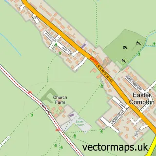
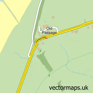
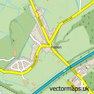
Nearby street map samples around Severn Beach


More street maps in Gloucestershire
750 metre map area coverage
Boundary, postcode and point of interest information for the 750m x 750m rectangle centred on this sample map.
Boundaries containing map centre
Constituency: Thornbury and Yate Co Const
District: South Gloucestershire
Icb: NHS Bristol North Somerset and South Gloucestershire ICB
Parish: Pilning and Severn Beach CP
Police Force: avon and somerset
Postcode District: BS35
Postcode Sector: BS35 4
Ward: Pilning & Severn Beach Ward
Nearby boundaries intersecting sample
No additional intersecting boundaries found.
Postcode coverage
POI category counts
Beach: 3
Bakery: 2
Business Management Services: 2
Real Estate Agent: 2
Train Station: 2
Acupuncture: 1
Antique Store: 1
Architectural Designer: 1
Assisted Living Facility: 1
Atms: 1
Sample points of interest
- Fiona Bonehill Acupuncturist
- Severn Beach Antiques
- Space Plus Architectural Design
- Faith House
- Morrisons Daily - Bristol Severn Beach, Severn Beach
- GRIDSERVE
- Avon Commercial Recovery
- Js Auto Electrical
- Beach House Bakery
- Down's Bakery
- The Barber Unit
- Sea Wall Severn Beach
Create a larger editable map of Severn Beach
This sample shows only a 750 metre area. To create a larger map of Severn Beach, use our map builder to choose your own coverage area, add titles and download editable SVG, PDF and PNG files.
Create a custom map of Severn Beach