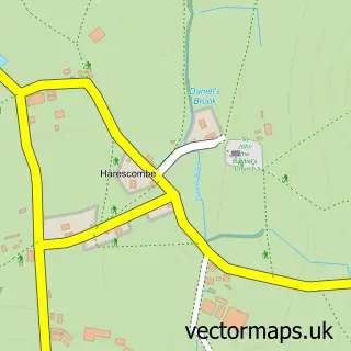
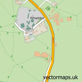
This Haresfield street map is a detailed vector street map covering a 750m x 750m area. Select a larger area to create and download your own vector street map of Haresfield.
The 750-metre map sample for Haresfield covers 104 mapped buildings and approximately 35.8 km of road detail. The immediate area includes 1 school and 4 MOT stations within 2 miles. The wider area around Haresfield features 1 hotel. To create a larger or custom map of Haresfield, the map builder lets you define your own coverage area and download editable SVG, PDF and PNG files.
Create a larger editable map of Haresfield
Choose any area you need and generate a high-quality vector map instantly. Perfect for print, planning, design, business and personal use.

This Haresfield street map in Gloucestershire is available as downloadable SVG, PDF and PNG map files, or as a printed map for planning, business, display, education, local information and design work. You can also create a larger custom map area using the map selector.
What this Haresfield map sample shows
Haresfield lies within Haresfield Cp parish, part of Hardwicke ward in the Stroud District local authority area. The postcode geography for this area includes the GL postcode area, the GL10 postcode district and the GL10 3 postcode sector. Residents fall under the Nhs Gloucestershire Integrated Care Board for NHS services.
Local features near Haresfield
Within 2 milesAmenities and services in and around Haresfield.
Administrative and postcode information for Haresfield
The local authority covering Haresfield is Stroud District, within the county of Gloucestershire. The settlement lies within Hardwicke ward and Haresfield Cp civil parish. The GL10 postcode district and GL10 3 postcode sector serve the immediate area. NHS provision in the area is delivered through Gloucestershire Hospitals Nhs Foundation Trust.
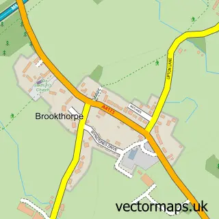
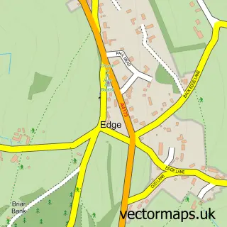
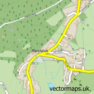
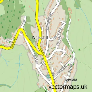
Nearby street map samples around Haresfield

More street maps in Gloucestershire
750 metre map area coverage
Boundary, postcode and point of interest information for the 750m x 750m rectangle centred on this sample map.
Boundaries containing map centre
Constituency: North Cotswolds Co Const
County: Gloucestershire County
District: Stroud District
Icb: NHS Gloucestershire ICB
Parish: Haresfield CP
Police Force: gloucestershire
Postcode District: GL10
Postcode Sector: GL10 3
Ward: Hardwicke Ward
Nearby boundaries intersecting sample
No additional intersecting boundaries found.
Postcode coverage
POI category counts
Advertising Agency: 1
Amateur Sports Team: 1
Corporate Office: 1
Elementary School: 1
Hotel: 1
International Business And Trade Services: 1
Pet Groomer: 1
Post Office: 1
Train Station: 1
Tree Services: 1
Sample points of interest
- Beacon Marketing Solutions
- Haresfield Gladiators Cricket Club
- Fresh: Art Fairs
- Haresfield Church of England Primary School
- The Beacon Inn
- Mcallister Masonry Ltd.
- Nanny McFi Dog Grooming
- H & M Distribution
- Haresfield railway station
- Eldridge Tree Services
- Creativesheep Ltd
Create a larger editable map of Haresfield
This sample shows only a 750 metre area. To create a larger map of Haresfield, use our map builder to choose your own coverage area, add titles and download editable SVG, PDF and PNG files.
Create a custom map of Haresfield