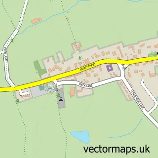
This Harewood street map is a detailed vector street map covering a 750m x 750m area. Select a larger area to create and download your own vector street map of Harewood.
The 750-metre map sample for Harewood covers 114 mapped buildings and approximately 9.9 km of road detail, of which 11 named roads are named. The immediate area includes 2 schools and 1 pub. The wider area around Harewood features 2 food and drink venues. To create a larger or custom map of Harewood, the map builder lets you define your own coverage area and download editable SVG, PDF and PNG files.
Create a larger editable map of Harewood
Choose any area you need and generate a high-quality vector map instantly. Perfect for print, planning, design, business and personal use.

This Harewood street map in West Yorkshire is available as downloadable SVG, PDF and PNG map files, or as a printed map for planning, business, display, education, local information and design work. You can also create a larger custom map area using the map selector.
What this Harewood map sample shows
Harewood lies within Harewood Cp parish, part of Harewood ward in the Leeds District (B) local authority area. The postcode geography for this area includes the LS postcode area, the LS17 postcode district and the LS17 9 postcode sector. Residents fall under the Nhs West Yorkshire Integrated Care Board for NHS services.
Local features near Harewood
Within 2 milesAmenities and services in and around Harewood.
Administrative and postcode information for Harewood
Harewood lies within Harewood Cp parish, part of Harewood ward in the Leeds District (B) local authority area. The postcode geography for this area includes the LS postcode area, the LS17 postcode district and the LS17 9 postcode sector. Residents fall under the Nhs West Yorkshire Integrated Care Board for NHS services.
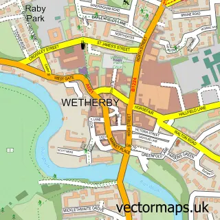
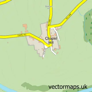
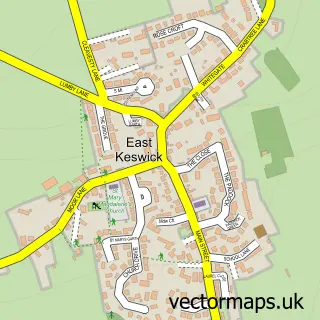
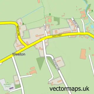
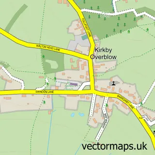
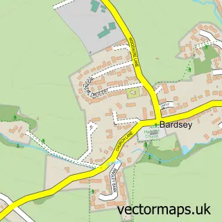
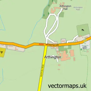
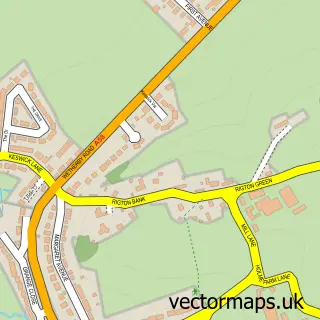
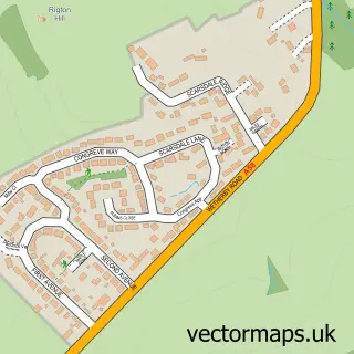
Nearby street map samples around Harewood

More street maps in West Yorkshire
750 metre map area coverage
Boundary, postcode and point of interest information for the 750m x 750m rectangle centred on this sample map.
Boundaries containing map centre
Constituency: Wetherby and Easingwold Co Const
District: Leeds District (B)
Icb: NHS West Yorkshire ICB
Parish: Harewood CP
Police Force: west yorkshire
Postcode District: LS17
Postcode Sector: LS17 9
Ward: Harewood Ward
Nearby boundaries intersecting sample
No additional intersecting boundaries found.
Postcode coverage
POI category counts
Dentist: 2
Shipping Center: 2
Accommodation: 1
Arts And Entertainment: 1
Beauty Salon: 1
Cafe: 1
Elementary School: 1
Financial Advising: 1
Furniture Store: 1
Hair Salon: 1
Sample points of interest
- Harewood Hall
- Theatre Led Arts Leeds
- Beauty Room Harewood
- Muddy Boots Cafe Harewood Village | Leeds
- Bupa Dental Care Harewood
- Dental Excellence At Harewood
- Harewood Church of England Primary School
- Ryder Adams
- Timber Windows North
- Jon Kinsey Salon
- Harewood Village
- Post Office
Create a larger editable map of Harewood
This sample shows only a 750 metre area. To create a larger map of Harewood, use our map builder to choose your own coverage area, add titles and download editable SVG, PDF and PNG files.
Create a custom map of Harewood