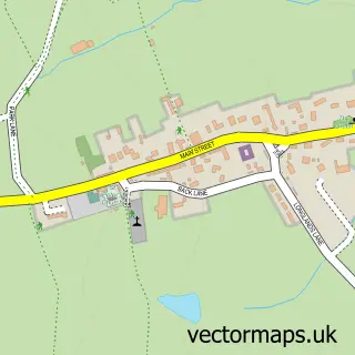
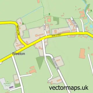
This Kirkby Overblow street map is a detailed vector street map covering a 750m x 750m area. Select a larger area to create and download your own vector street map of Kirkby Overblow.
The 750-metre map sample for Kirkby Overblow covers 123 mapped buildings and approximately 14.0 km of road detail, of which 6 named roads are named. The immediate area includes 1 school, 1 pub and 3 MOT stations within 2 miles. The wider area around Kirkby Overblow features 1 food and drink venue. To create a larger or custom map of Kirkby Overblow, the map builder lets you define your own coverage area and download editable SVG, PDF and PNG files.
Create a larger editable map of Kirkby Overblow
Choose any area you need and generate a high-quality vector map instantly. Perfect for print, planning, design, business and personal use.

This Kirkby Overblow street map in North Yorkshire is available as downloadable SVG, PDF and PNG map files, or as a printed map for planning, business, display, education, local information and design work. You can also create a larger custom map area using the map selector.
What this Kirkby Overblow map sample shows
Kirkby Overblow lies within Kirkby Overblow Cp parish, part of Spofforth With Lower Wharfedale ward in the North Yorkshire local authority area. The postcode geography for this area includes the HG postcode area, the HG3 postcode district and the HG3 1 postcode sector. Residents fall under the Nhs Humber And North Yorkshire Integrated Care Board for NHS services.
Local features near Kirkby Overblow
Within 2 milesAmenities and services in and around Kirkby Overblow.
Administrative and postcode information for Kirkby Overblow
Kirkby Overblow lies within Kirkby Overblow Cp parish, part of Spofforth With Lower Wharfedale ward in the North Yorkshire local authority area. The postcode geography for this area includes the HG postcode area, the HG3 postcode district and the HG3 1 postcode sector. Residents fall under the Nhs Humber And North Yorkshire Integrated Care Board for NHS services.
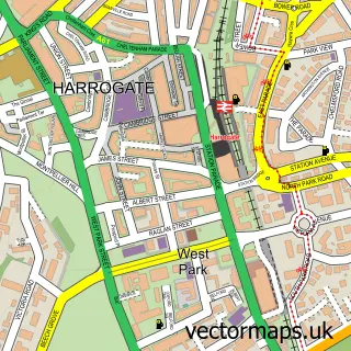
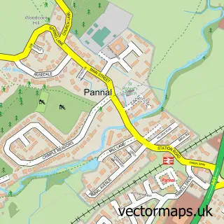
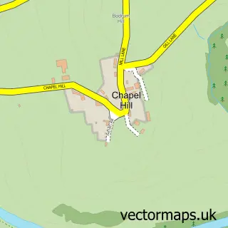
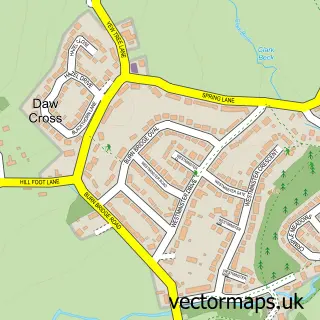
Nearby street map samples around Kirkby Overblow

More street maps in North Yorkshire
750 metre map area coverage
Boundary, postcode and point of interest information for the 750m x 750m rectangle centred on this sample map.
Boundaries containing map centre
Constituency: Wetherby and Easingwold Co Const
District: North Yorkshire
Icb: NHS Humber and North Yorkshire ICB
Parish: Kirkby Overblow CP
Police Force: north yorkshire
Postcode District: HG3
Postcode Sector: HG3 1
Nearby boundaries intersecting sample
No additional intersecting boundaries found.
Postcode coverage
POI category counts
Elementary School: 2
Anglican Church: 1
Church Cathedral: 1
Convenience Store: 1
Furniture Store: 1
Gastropub: 1
Pub: 1
Public Service And Government: 1
Womens Clothing Store: 1
Sample points of interest
- All Saints
- All Saints Church
- Summerbridge Stores
- All Saints C of E Primary School
- All Saints Church of England Aided Primary School
- Harrogate Interiors
- The Shoulder of Mutton
- Shoulder of Mutton
- Kirkby Overblow Wesleyan Chapel Burial Ground
- Happy Shop 301
Create a larger editable map of Kirkby Overblow
This sample shows only a 750 metre area. To create a larger map of Kirkby Overblow, use our map builder to choose your own coverage area, add titles and download editable SVG, PDF and PNG files.
Create a custom map of Kirkby Overblow