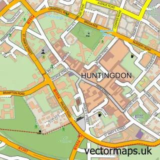
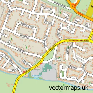
This Hartford street map is a detailed vector street map covering a 750m x 750m area. Select a larger area to create and download your own vector street map of Hartford.
The 750-metre map sample for Hartford covers 513 mapped buildings and approximately 16.9 km of road detail, of which 34 named roads are named. The immediate area includes 3 GP surgeries within 2 miles, 3 pubs and 16 MOT stations within 2 miles. The wider area around Hartford features 1 tourism point of interest, 3 food and drink venues and 1 campsite within 2 miles. To create a larger or custom map of Hartford, the map builder lets you define your own coverage area and download editable SVG, PDF and PNG files.
Create a larger editable map of Hartford
Choose any area you need and generate a high-quality vector map instantly. Perfect for print, planning, design, business and personal use.

This Hartford street map in Cambridgeshire is available as downloadable SVG, PDF and PNG map files, or as a printed map for planning, business, display, education, local information and design work. You can also create a larger custom map area using the map selector.
What this Hartford map sample shows
Hartford lies within Huntingdon Cp parish, part of Huntingdon East ward in the Huntingdonshire District local authority area. The postcode geography for this area includes the PE postcode area, the PE29 postcode district and the PE29 1 postcode sector. Residents fall under the Nhs Cambridgeshire And Peterborough Integrated Care Board for NHS services.
Local features near Hartford
Within 2 milesAmenities and services in and around Hartford.
Administrative and postcode information for Hartford
The local authority covering Hartford is Huntingdonshire District, within the county of Cambridgeshire. The settlement lies within Huntingdon East ward and Huntingdon Cp civil parish. The PE29 postcode district and PE29 1 postcode sector serve the immediate area. NHS provision in the area is delivered through North West Anglia Nhs Foundation Trust.
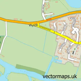
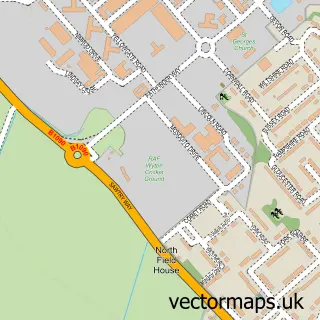
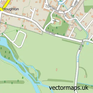
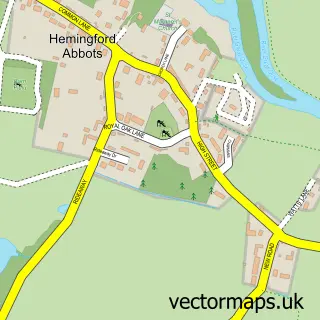
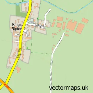
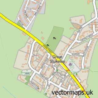
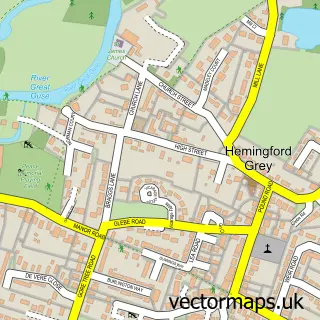
Nearby street map samples around Hartford

More street maps in Cambridgeshire
750 metre map area coverage
Boundary, postcode and point of interest information for the 750m x 750m rectangle centred on this sample map.
Boundaries containing map centre
Constituency: Huntingdon Co Const
County: Cambridgeshire County
District: Huntingdonshire District
Icb: NHS Central East ICB
Parish: Huntingdon CP
Police Force: cambridgeshire
Postcode District: PE29
Postcode Sector: PE29 1
Ward: Huntingdon East Ward
Nearby boundaries intersecting sample
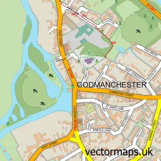
Parish: Godmanchester CP
Postcode Sector: PE29 2
Ward: Godmanchester & Hemingford Abbots Ward
Postcode coverage
POI category counts
Pub: 3
Church Cathedral: 2
Dance School: 2
Attractions And Activities: 1
Automotive Repair: 1
Automotive Services And Repair: 1
Beauty Salon: 1
Contractor: 1
Corporate Office: 1
Driving School: 1
Sample points of interest
- King George V Playing Field
- ZonoCar
- Astar Education
- Natural Beauty
- All Saints Church
- All Saints' Church, Hartford
- R A Hamblin Plastering
- The Hartford Kitchen
- White Swan Dance Academy
- White Swan Dance Academy
- Jay Farrell Red Driving School
- Jason Craddock Electrical
Create a larger editable map of Hartford
This sample shows only a 750 metre area. To create a larger map of Hartford, use our map builder to choose your own coverage area, add titles and download editable SVG, PDF and PNG files.
Create a custom map of Hartford