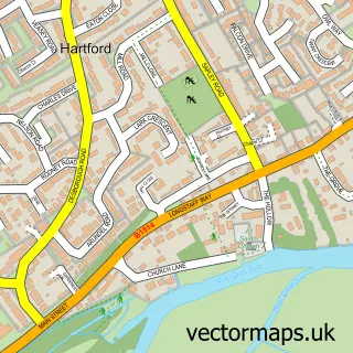
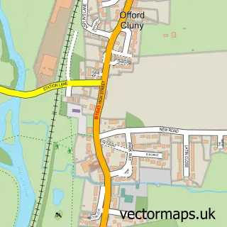
This Huntingdon street map is a detailed vector street map covering a 750m x 750m area. Select a larger area to create and download your own vector street map of Huntingdon.
The 750-metre map sample for Huntingdon covers 310 mapped buildings and approximately 25.5 km of road detail, of which 41 named roads are named. The immediate area includes 1 GP surgery, with 3 within 2 miles, 9 pubs and 1 MOT station, with 16 within 2 miles. The wider area around Huntingdon features 4 tourism points of interest, 29 food and drink venues and 3 hotels. To create a larger or custom map of Huntingdon, the map builder lets you define your own coverage area and download editable SVG, PDF and PNG files.
Create a larger editable map of Huntingdon
Choose any area you need and generate a high-quality vector map instantly. Perfect for print, planning, design, business and personal use.

This Huntingdon street map in Cambridgeshire is available as downloadable SVG, PDF and PNG map files, or as a printed map for planning, business, display, education, local information and design work. You can also create a larger custom map area using the map selector.
What this Huntingdon map sample shows
Huntingdon lies within Huntingdon Cp parish, part of Huntingdon North ward in the Huntingdonshire District local authority area. The postcode geography for this area includes the PE postcode area, the PE29 postcode district and the PE29 3 postcode sector. Residents fall under the Nhs Cambridgeshire And Peterborough Integrated Care Board for NHS services.
Local features near Huntingdon
Within 2 milesAmenities and services in and around Huntingdon.
Administrative and postcode information for Huntingdon
The local authority covering Huntingdon is Huntingdonshire District, within the county of Cambridgeshire. The settlement lies within Huntingdon North ward and Huntingdon Cp civil parish. The PE29 postcode district and PE29 3 postcode sector serve the immediate area. NHS provision in the area is delivered through North West Anglia Nhs Foundation Trust.
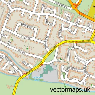
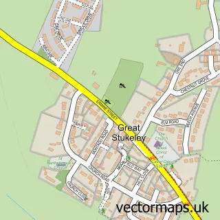
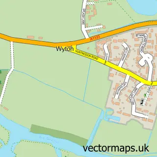
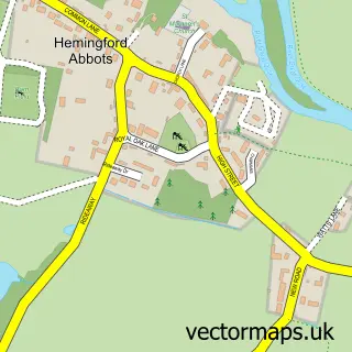
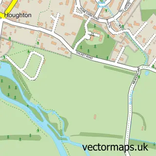
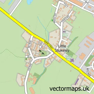
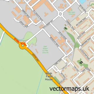
Nearby street map samples around Huntingdon

More street maps in Cambridgeshire
750 metre map area coverage
Boundary, postcode and point of interest information for the 750m x 750m rectangle centred on this sample map.
Boundaries containing map centre
Constituency: Huntingdon Co Const
County: Cambridgeshire County
District: Huntingdonshire District
Icb: NHS Central East ICB
Parish: Huntingdon CP
Police Force: cambridgeshire
Postcode District: PE29
Postcode Sector: PE29 3
Ward: Huntingdon North Ward
Nearby boundaries intersecting sample
Postcode Sector: PE29 1, PE29 7
Ward: Huntingdon East Ward
Postcode coverage
POI category counts
Beauty Salon: 13
Clothing Store: 13
Employment Agencies: 12
Community Services Non Profits: 11
Professional Services: 11
Charity Organization: 10
Supermarket: 10
Cafe: 9
Hair Salon: 9
Pub: 9
Sample points of interest
- TaxAssist Accountants
- Titan Boat Canopies
- Charmingcarl Limited
- Blue Skies Hypnotherapy
- Magpas
- Cambridgeshire Deaf Church
- St Mary with St Benedict
- Cambs Lock Antiques & Collectables
- Cambs Lock Indoor Village Huntingdon
- Cuthbert's Antiques
- Marie Curie
- St Mary's Street drill hall, Huntingdon
Create a larger editable map of Huntingdon
This sample shows only a 750 metre area. To create a larger map of Huntingdon, use our map builder to choose your own coverage area, add titles and download editable SVG, PDF and PNG files.
Create a custom map of Huntingdon