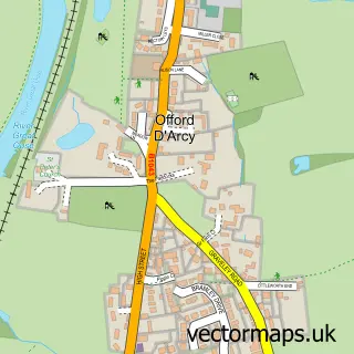
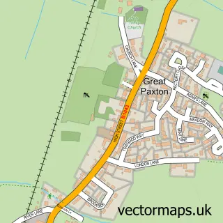
This Offord Cluny street map is a detailed vector street map covering a 750m x 750m area. Select a larger area to create and download your own vector street map of Offord Cluny.
The 750-metre map sample for Offord Cluny covers 191 mapped buildings and approximately 7.6 km of road detail, of which 16 named roads are named. The immediate area includes 1 school, 1 GP surgery within 2 miles and 1 MOT station, with 2 within 2 miles. The wider area around Offord Cluny features 1 food and drink venue. To create a larger or custom map of Offord Cluny, the map builder lets you define your own coverage area and download editable SVG, PDF and PNG files.
Create a larger editable map of Offord Cluny
Choose any area you need and generate a high-quality vector map instantly. Perfect for print, planning, design, business and personal use.

This Offord Cluny street map in Cambridgeshire is available as downloadable SVG, PDF and PNG map files, or as a printed map for planning, business, display, education, local information and design work. You can also create a larger custom map area using the map selector.
What this Offord Cluny map sample shows
Offord Cluny lies within Offord Cluny And Offord D'arcy Cp parish, part of Godmanchester & Hemingford Abbots ward in the Huntingdonshire District local authority area. The postcode geography for this area includes the PE postcode area, the PE19 postcode district and the PE19 5 postcode sector. Residents fall under the Nhs Cambridgeshire And Peterborough Integrated Care Board for NHS services.
Local features near Offord Cluny
Within 2 milesAmenities and services in and around Offord Cluny.
Administrative and postcode information for Offord Cluny
Offord Cluny lies within Offord Cluny And Offord D'arcy Cp parish, part of Godmanchester & Hemingford Abbots ward in the Huntingdonshire District local authority area. The postcode geography for this area includes the PE postcode area, the PE19 postcode district and the PE19 5 postcode sector. Residents fall under the Nhs Cambridgeshire And Peterborough Integrated Care Board for NHS services.
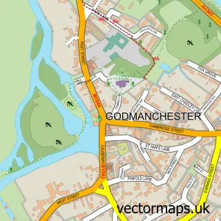
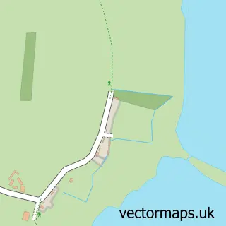
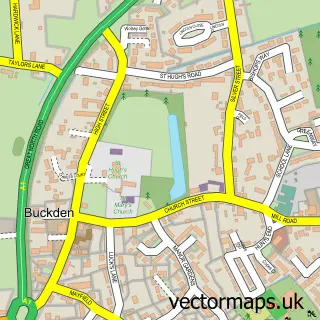
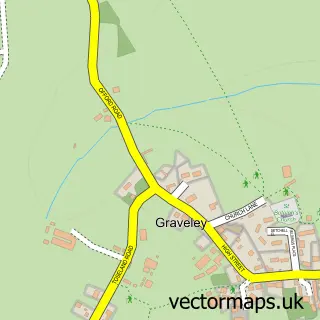
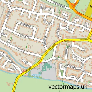
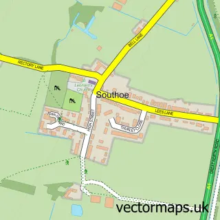
Nearby street map samples around Offord Cluny

More street maps in Cambridgeshire
750 metre map area coverage
Boundary, postcode and point of interest information for the 750m x 750m rectangle centred on this sample map.
Boundaries containing map centre
Constituency: Huntingdon Co Const
County: Cambridgeshire County
District: Huntingdonshire District
Icb: NHS Central East ICB
Parish: Offord Cluny and Offord D'Arcy CP
Police Force: cambridgeshire
Postcode District: PE19
Postcode Sector: PE19 5
Ward: Godmanchester & Hemingford Abbots Ward
Nearby boundaries intersecting sample
Parish: Buckden CP
Ward: Buckden Ward
Postcode coverage
POI category counts
Courier And Delivery Services: 2
Elementary School: 2
Used Car Dealer: 2
Advertising Agency: 1
Alternative Medicine: 1
Automotive Parts And Accessories: 1
Bakery: 1
Business To Business: 1
Caterer: 1
Church Cathedral: 1
Sample points of interest
- Mouse in the House
- Utopia
- EAG Specialist Carbon
- Ali's Baltic Bakes
- Synergy Grill
- Catering Vans Ltd
- All Saints Church
- Costa Express
- Offord Village Hall. At the heart of the community
- Prestige Build LTD
- Dream Driveways
- Evri ParcelShop
Create a larger editable map of Offord Cluny
This sample shows only a 750 metre area. To create a larger map of Offord Cluny, use our map builder to choose your own coverage area, add titles and download editable SVG, PDF and PNG files.
Create a custom map of Offord Cluny