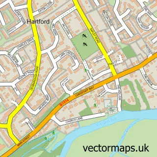
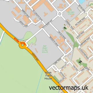
This Godmanchester street map is a detailed vector street map covering a 750m x 750m area. Select a larger area to create and download your own vector street map of Godmanchester.
The 750-metre map sample for Godmanchester covers 379 mapped buildings and approximately 17.3 km of road detail, of which 32 named roads are named. The immediate area includes 1 school, 3 GP surgeries within 2 miles, 4 pubs and 1 MOT station, with 15 within 2 miles. The wider area around Godmanchester features 5 tourism points of interest and 6 food and drink venues. To create a larger or custom map of Godmanchester, the map builder lets you define your own coverage area and download editable SVG, PDF and PNG files.
Create a larger editable map of Godmanchester
Choose any area you need and generate a high-quality vector map instantly. Perfect for print, planning, design, business and personal use.

This Godmanchester street map in Cambridgeshire is available as downloadable SVG, PDF and PNG map files, or as a printed map for planning, business, display, education, local information and design work. You can also create a larger custom map area using the map selector.
What this Godmanchester map sample shows
Godmanchester lies within Godmanchester Cp parish, part of Godmanchester & Hemingford Abbots ward in the Huntingdonshire District local authority area. The postcode geography for this area includes the PE postcode area, the PE29 postcode district and the PE29 2 postcode sector. Residents fall under the Nhs Cambridgeshire And Peterborough Integrated Care Board for NHS services.
Local features near Godmanchester
Within 2 milesAmenities and services in and around Godmanchester.
Administrative and postcode information for Godmanchester
The local authority covering Godmanchester is Huntingdonshire District, within the county of Cambridgeshire. The settlement lies within Godmanchester & Hemingford Abbots ward and Godmanchester Cp civil parish. The PE29 postcode district and PE29 2 postcode sector serve the immediate area. NHS provision in the area is delivered through North West Anglia Nhs Foundation Trust.
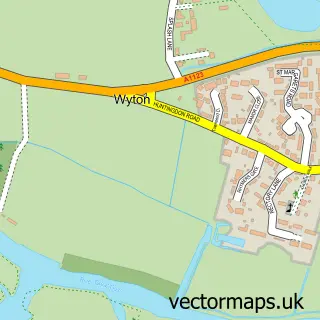
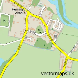
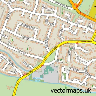
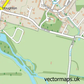
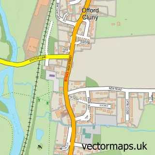
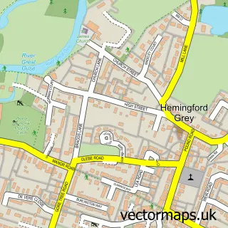
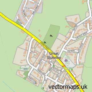
Nearby street map samples around Godmanchester

More street maps in Cambridgeshire
750 metre map area coverage
Boundary, postcode and point of interest information for the 750m x 750m rectangle centred on this sample map.
Boundaries containing map centre
Constituency: Huntingdon Co Const
County: Cambridgeshire County
District: Huntingdonshire District
Icb: NHS Central East ICB
Parish: Godmanchester CP
Police Force: cambridgeshire
Postcode District: PE29
Postcode Sector: PE29 2
Ward: Godmanchester & Hemingford Abbots Ward
Nearby boundaries intersecting sample
Parish: Brampton CP
Postcode District: PE28
Postcode Sector: PE28 4
Ward: Brampton Ward
Postcode coverage
POI category counts
Beauty Salon: 5
Convenience Store: 5
Building Supply Store: 4
Pub: 4
Electrician: 3
Fish And Chips Restaurant: 3
Real Estate: 3
Anglican Church: 2
Bakery: 2
Barber: 2
Sample points of interest
- St Mary the Virgin
- St Mary the Virgin Church
- Campbell McCrae Limited
- Trevor Dyer Ceramics
- Godmanchester Community Plant Nursery
- C a & N C Pedlar Upholsterers
- B.C.Searle & Son
- Littleolebabystepsmassage
- Bellmans
- Bellmans Bakery & Tea Rooms
- Godmanchester Baptist Church
- Bee's Barbers
Create a larger editable map of Godmanchester
This sample shows only a 750 metre area. To create a larger map of Godmanchester, use our map builder to choose your own coverage area, add titles and download editable SVG, PDF and PNG files.
Create a custom map of Godmanchester