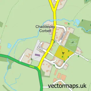
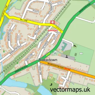
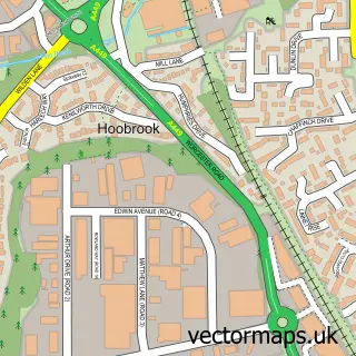
This Harvington street map is a detailed vector street map covering a 750m x 750m area. Select a larger area to create and download your own vector street map of Harvington.
The 750-metre map sample for Harvington covers 84 mapped buildings and approximately 16.3 km of road detail, of which 5 named roads are named. The immediate area includes 1 GP surgery within 2 miles and 2 pubs. The wider area around Harvington features 3 food and drink venues. To create a larger or custom map of Harvington, the map builder lets you define your own coverage area and download editable SVG, PDF and PNG files.
Create a larger editable map of Harvington
Choose any area you need and generate a high-quality vector map instantly. Perfect for print, planning, design, business and personal use.

This Harvington street map in Worcestershire is available as downloadable SVG, PDF and PNG map files, or as a printed map for planning, business, display, education, local information and design work. You can also create a larger custom map area using the map selector.
What this Harvington map sample shows
Harvington lies within Chaddesley Corbett Cp parish, part of Wyre Forest Rural ward in the Wyre Forest District local authority area. The postcode geography for this area includes the DY postcode area, the DY10 postcode district and the DY10 4 postcode sector. Residents fall under the Nhs Herefordshire And Worcestershire Integrated Care Board for NHS services.
Local features near Harvington
Within 2 milesAmenities and services in and around Harvington.
Administrative and postcode information for Harvington
The local authority covering Harvington is Wyre Forest District, within the county of Worcestershire. The settlement lies within Wyre Forest Rural ward and Chaddesley Corbett Cp civil parish. The DY10 postcode district and DY10 4 postcode sector serve the immediate area. NHS provision in the area is delivered through Worcestershire Acute Hospitals Nhs Trust.
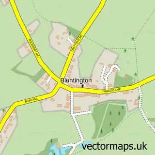
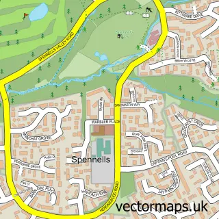
Nearby street map samples around Harvington

More street maps in Worcestershire
750 metre map area coverage
Boundary, postcode and point of interest information for the 750m x 750m rectangle centred on this sample map.
Boundaries containing map centre
Constituency: Wyre Forest Co Const
County: Worcestershire County
District: Wyre Forest District
Icb: NHS Herefordshire and Worcestershire ICB
Parish: Chaddesley Corbett CP
Police Force: west mercia
Postcode District: DY10
Postcode Sector: DY10 4
Ward: Wyre Forest Rural Ward
Nearby boundaries intersecting sample
No additional intersecting boundaries found.
Postcode coverage
POI category counts
Pub: 2
Agricultural Service: 1
Animal Shelter: 1
Bridal Shop: 1
Coffee Shop: 1
Community Center: 1
Furniture Store: 1
Lodge: 1
Sample points of interest
- Adam Hewitt Limited
- Harvington Kennels and Cattery
- Barrie James Rolls Royce & Bentley Hire
- The Malt House
- The Oaks Community Hall
- Rack tech innovations LTD
- Steppe Farm Annexe B & B
- Dog
- The Dog
Create a larger editable map of Harvington
This sample shows only a 750 metre area. To create a larger map of Harvington, use our map builder to choose your own coverage area, add titles and download editable SVG, PDF and PNG files.
Create a custom map of Harvington