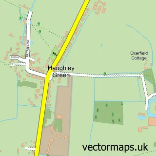
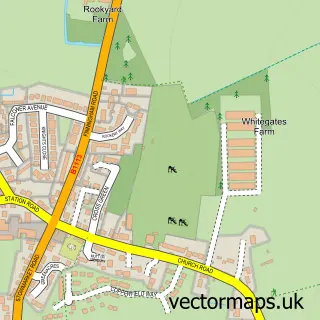
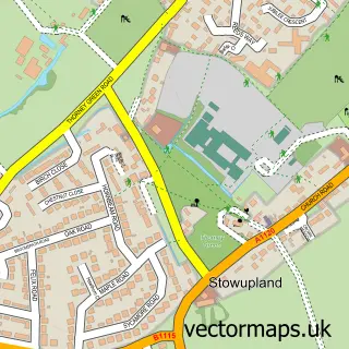
This Haughley street map is a detailed vector street map covering a 750m x 750m area. Select a larger area to create and download your own vector street map of Haughley.
The 750-metre map sample for Haughley covers 243 mapped buildings and approximately 10.7 km of road detail, of which 15 named roads are named. The immediate area includes 1 school, 3 pubs and 3 MOT stations within 2 miles. The wider area around Haughley features 4 tourism points of interest and 3 food and drink venues. To create a larger or custom map of Haughley, the map builder lets you define your own coverage area and download editable SVG, PDF and PNG files.
Create a larger editable map of Haughley
Choose any area you need and generate a high-quality vector map instantly. Perfect for print, planning, design, business and personal use.

This Haughley street map in Suffolk is available as downloadable SVG, PDF and PNG map files, or as a printed map for planning, business, display, education, local information and design work. You can also create a larger custom map area using the map selector.
What this Haughley map sample shows
Haughley lies within Haughley Cp parish, part of Haughley, Stowupland & Wetherden ward in the Mid Suffolk District local authority area. The postcode geography for this area includes the IP postcode area, the IP14 postcode district and the IP14 3 postcode sector. Residents fall under the Nhs Suffolk And North East Essex Integrated Care Board for NHS services.
Local features near Haughley
Within 2 milesAmenities and services in and around Haughley.
Administrative and postcode information for Haughley
Haughley lies within Haughley Cp parish, part of Haughley, Stowupland & Wetherden ward in the Mid Suffolk District local authority area. The postcode geography for this area includes the IP postcode area, the IP14 postcode district and the IP14 3 postcode sector. Residents fall under the Nhs Suffolk And North East Essex Integrated Care Board for NHS services.
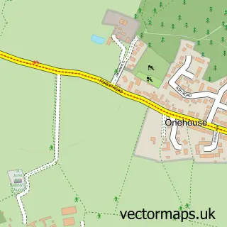
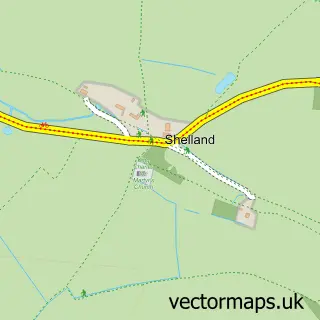
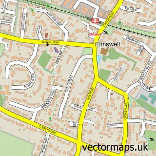
Nearby street map samples around Haughley

More street maps in Suffolk
750 metre map area coverage
Boundary, postcode and point of interest information for the 750m x 750m rectangle centred on this sample map.
Boundaries containing map centre
Constituency: Waveney Valley Co Const
County: Suffolk County
District: Mid Suffolk District
Icb: NHS Essex ICB
Parish: Haughley CP
Police Force: suffolk
Postcode District: IP14
Postcode Sector: IP14 3
Ward: Haughley, Stowupland & Wetherden Ward
Nearby boundaries intersecting sample
Constituency: Bury St. Edmunds and Stowmarket Co Const
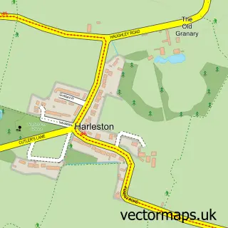
Parish: Harleston CP
Postcode coverage
POI category counts
Pub: 3
Beauty Salon: 2
British Restaurant: 2
Elementary School: 2
Park: 2
Shoe Store: 2
Supermarket: 2
Advertising Agency: 1
Anglican Church: 1
Bakery: 1
Sample points of interest
- Bluesky creative marketing
- St Marys, Haughley
- Palmers Bakery of Haughley
- Crowns Hair Studio
- The Green Lounge
- Haughley House
- I Loved That
- Old Counting House Restaurant
- The Old Counting House Restaurant
- Positive Earth Engineering
- The Cadillac Chauffeur
- Haughley Castle
Create a larger editable map of Haughley
This sample shows only a 750 metre area. To create a larger map of Haughley, use our map builder to choose your own coverage area, add titles and download editable SVG, PDF and PNG files.
Create a custom map of Haughley