This Henbury street map is a detailed vector street map covering a 750m x 750m area. Select a larger area to create and download your own vector street map of Henbury.
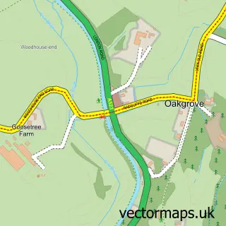
The 750-metre map sample for Henbury covers 128 mapped buildings and approximately 9.1 km of road detail, of which 11 named roads are named. The immediate area includes 1 pub and 1 MOT station within 2 miles. The wider area around Henbury features 1 tourism point of interest and 3 food and drink venues. To create a larger or custom map of Henbury, the map builder lets you define your own coverage area and download editable SVG, PDF and PNG files.
Create a larger editable map of Henbury
Choose any area you need and generate a high-quality vector map instantly. Perfect for print, planning, design, business and personal use.

This Henbury street map in Cheshire is available as downloadable SVG, PDF and PNG map files, or as a printed map for planning, business, display, education, local information and design work. You can also create a larger custom map area using the map selector.
What this Henbury map sample shows
Henbury lies within Henbury Cp parish, part of Gawsworth ward in the Cheshire East (B) local authority area. The postcode geography for this area includes the SK postcode area, the SK11 postcode district and the SK11 9 postcode sector. Residents fall under the Nhs Cheshire And Merseyside Integrated Care Board for NHS services.
Local features near Henbury
Within 2 milesAmenities and services in and around Henbury.
Administrative and postcode information for Henbury
The local authority covering Henbury is Cheshire East (B), within the county of Cheshire. The settlement lies within Gawsworth ward and Henbury Cp civil parish. The SK11 postcode district and SK11 9 postcode sector serve the immediate area. NHS provision in the area is delivered through East Cheshire Nhs Trust.
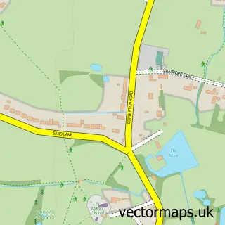
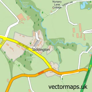
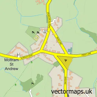
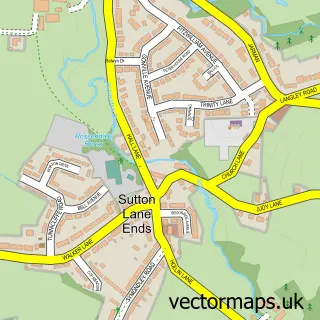
Nearby street map samples around Henbury

More street maps in Cheshire
750 metre map area coverage
Boundary, postcode and point of interest information for the 750m x 750m rectangle centred on this sample map.
Boundaries containing map centre
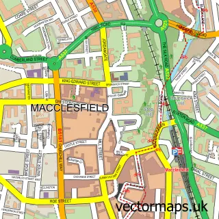
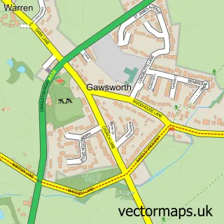
Constituency: Macclesfield Co Const
District: Cheshire East (B)
Icb: NHS Cheshire and Merseyside ICB
Parish: Henbury CP
Police Force: cheshire
Postcode District: SK11
Postcode Sector: SK11 9
Ward: Gawsworth Ward
Nearby boundaries intersecting sample
Parish: Macclesfield CP
Postcode District: SK10
Postcode Sector: SK10 3
Ward: Broken Cross and Upton Ward
Postcode coverage
POI category counts
Church Cathedral: 2
Professional Services: 2
Anglican Church: 1
Cafe: 1
Coffee Shop: 1
Furniture Accessory Store: 1
Gardener: 1
Landscaping: 1
Nursery And Gardening: 1
Park: 1
Sample points of interest
- St Thomas'
- Patricia Recipes
- St Thomas Church
- St Thomas's C of E Church
- Costa Express
- Forest Furniture
- Guardian Roofs Cheshire
- LCS Landscapes and Grounds
- Flora Flower & Gift Centre
- Henbury Millennium Green
- Kidzbus
- Light Of My Life Baby Photography
Create a larger editable map of Henbury
This sample shows only a 750 metre area. To create a larger map of Henbury, use our map builder to choose your own coverage area, add titles and download editable SVG, PDF and PNG files.
Create a custom map of Henbury