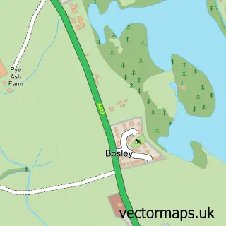
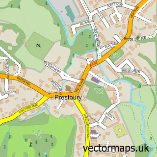
This Sutton Lane Ends street map is a detailed vector street map covering a 750m x 750m area. Select a larger area to create and download your own vector street map of Sutton Lane Ends.
The 750-metre map sample for Sutton Lane Ends covers 294 mapped buildings and approximately 12.2 km of road detail, of which 21 named roads are named. The immediate area includes 1 school, 7 GP surgeries within 2 miles, 3 pubs and 19 MOT stations within 2 miles. The wider area around Sutton Lane Ends features 1 tourism point of interest, 4 food and drink venues and 1 campsite within 2 miles. To create a larger or custom map of Sutton Lane Ends, the map builder lets you define your own coverage area and download editable SVG, PDF and PNG files.
Create a larger editable map of Sutton Lane Ends
Choose any area you need and generate a high-quality vector map instantly. Perfect for print, planning, design, business and personal use.

This Sutton Lane Ends street map in Cheshire is available as downloadable SVG, PDF and PNG map files, or as a printed map for planning, business, display, education, local information and design work. You can also create a larger custom map area using the map selector.
What this Sutton Lane Ends map sample shows
Sutton Lane Ends lies within Sutton Cp parish, part of Sutton ward in the Cheshire East (B) local authority area. The postcode geography for this area includes the SK postcode area, the SK11 postcode district and the SK11 0 postcode sector. Residents fall under the Nhs Cheshire And Merseyside Integrated Care Board for NHS services.
Local features near Sutton Lane Ends
Within 2 milesAmenities and services in and around Sutton Lane Ends.
Administrative and postcode information for Sutton Lane Ends
Sutton Lane Ends lies within Sutton Cp parish, part of Sutton ward in the Cheshire East (B) local authority area. The postcode geography for this area includes the SK postcode area, the SK11 postcode district and the SK11 0 postcode sector. Residents fall under the Nhs Cheshire And Merseyside Integrated Care Board for NHS services.
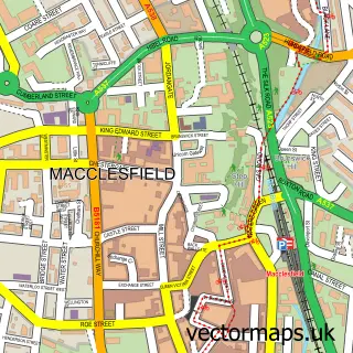
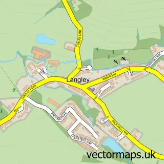
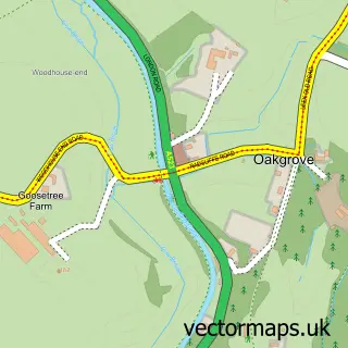
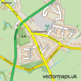
Nearby street map samples around Sutton Lane Ends

More street maps in Cheshire
750 metre map area coverage
Boundary, postcode and point of interest information for the 750m x 750m rectangle centred on this sample map.
Boundaries containing map centre
Constituency: Macclesfield Co Const
District: Cheshire East (B)
Icb: NHS Cheshire and Merseyside ICB
Parish: Sutton CP
Police Force: cheshire
Postcode District: SK11
Postcode Sector: SK11 0
Ward: Sutton Ward
Nearby boundaries intersecting sample
No additional intersecting boundaries found.
Postcode coverage
POI category counts
Pub: 3
Anglican Church: 2
Elementary School: 2
Post Office: 2
Scout Hall: 2
Shipping Center: 2
Assisted Living Facility: 1
Beauty Salon: 1
Business: 1
Cafe: 1
Sample points of interest
- St James's Church
- Sutton St James
- Rossendale Trust
- The Beauty Room
- IKON Digital Marketing Ltd
- Sutton Village Cafe
- Bella Mama
- The Rossendale Trust
- RAB Environmental
- Goslings Out of School Club
- Silktown Dairy
- Hollinhey Primary School
Create a larger editable map of Sutton Lane Ends
This sample shows only a 750 metre area. To create a larger map of Sutton Lane Ends, use our map builder to choose your own coverage area, add titles and download editable SVG, PDF and PNG files.
Create a custom map of Sutton Lane Ends