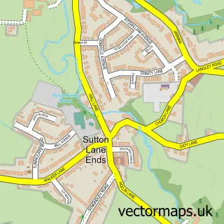
This Langley street map is a detailed vector street map covering a 750m x 750m area. Select a larger area to create and download your own vector street map of Langley.
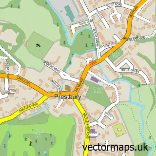
The 750-metre map sample for Langley covers 130 mapped buildings and approximately 8.7 km of road detail, of which 12 named roads are named. The immediate area includes 7 GP surgeries within 2 miles, 1 pub and 15 MOT stations within 2 miles. The wider area around Langley features 1 tourism point of interest, 1 food and drink venue and 1 campsite within 2 miles. To create a larger or custom map of Langley, the map builder lets you define your own coverage area and download editable SVG, PDF and PNG files.
Create a larger editable map of Langley
Choose any area you need and generate a high-quality vector map instantly. Perfect for print, planning, design, business and personal use.

This Langley street map in Cheshire is available as downloadable SVG, PDF and PNG map files, or as a printed map for planning, business, display, education, local information and design work. You can also create a larger custom map area using the map selector.
What this Langley map sample shows
Langley lies within Sutton Cp parish, part of Sutton ward in the Cheshire East (B) local authority area. The postcode geography for this area includes the SK postcode area, the SK11 postcode district and the SK11 0 postcode sector. Residents fall under the Nhs Cheshire And Merseyside Integrated Care Board for NHS services.
Local features near Langley
Within 2 milesAmenities and services in and around Langley.
Administrative and postcode information for Langley
The local authority covering Langley is Cheshire East (B), within the county of Cheshire. The settlement lies within Sutton ward and Sutton Cp civil parish. The SK11 postcode district and SK11 0 postcode sector serve the immediate area. NHS provision in the area is delivered through East Cheshire Nhs Trust.
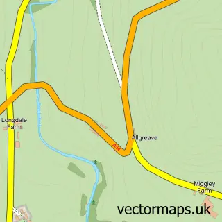
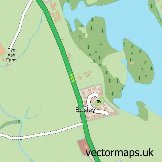
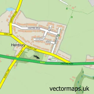
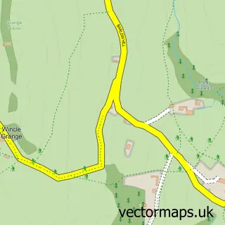
Nearby street map samples around Langley
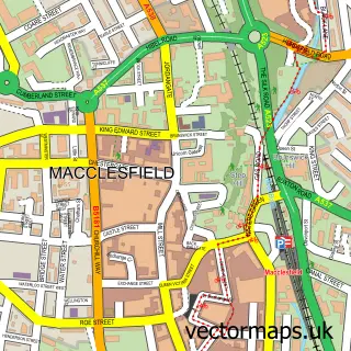

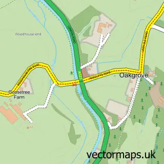
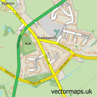
More street maps in Cheshire
750 metre map area coverage
Boundary, postcode and point of interest information for the 750m x 750m rectangle centred on this sample map.
Boundaries containing map centre
Constituency: Macclesfield Co Const
District: Cheshire East (B)
Icb: NHS Cheshire and Merseyside ICB
Parish: Sutton CP
Police Force: cheshire
Postcode District: SK11
Postcode Sector: SK11 0
Ward: Sutton Ward
Nearby boundaries intersecting sample
No additional intersecting boundaries found.
Postcode coverage
POI category counts
Accommodation: 1
Automotive Repair: 1
Business Management Services: 1
Business To Business: 1
Event Planning: 1
Industrial Equipment: 1
Marketing Agency: 1
Marketing Consultant: 1
Park: 1
Printing Equipment And Supply: 1
Sample points of interest
- Langley Hall
- Bespoke Auto Developments
- Chauffeurdirect
- F Harding Ltd.
- Langley Village Hall
- K-tech Plastics Limited
- Web Incite
- Global River
- Langley Playing Field
- Purple Patch Print & Promotion
- St Dunstan's Inn
- Seddon Homes Lavender Fields
Create a larger editable map of Langley
This sample shows only a 750 metre area. To create a larger map of Langley, use our map builder to choose your own coverage area, add titles and download editable SVG, PDF and PNG files.
Create a custom map of Langley