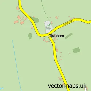
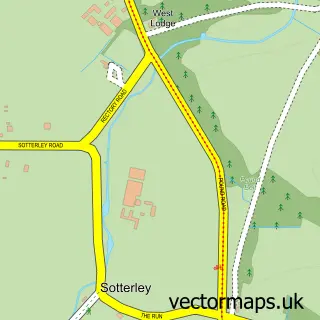
This Henstead street map is a detailed vector street map covering a 750m x 750m area. Select a larger area to create and download your own vector street map of Henstead.
The 750-metre map sample for Henstead covers 64 mapped buildings and approximately 7.7 km of road detail, of which 4 named roads are named. The immediate area includes 1 school and 2 MOT stations within 2 miles. The wider area around Henstead features 1 campsite within 2 miles. To create a larger or custom map of Henstead, the map builder lets you define your own coverage area and download editable SVG, PDF and PNG files.
Create a larger editable map of Henstead
Choose any area you need and generate a high-quality vector map instantly. Perfect for print, planning, design, business and personal use.

This Henstead street map in Suffolk is available as downloadable SVG, PDF and PNG map files, or as a printed map for planning, business, display, education, local information and design work. You can also create a larger custom map area using the map selector.
What this Henstead map sample shows
Henstead lies within Henstead With Hulver Street Cp parish, part of Wrentham, Wangford & Westleton ward in the East Suffolk District local authority area. The postcode geography for this area includes the NR postcode area, the NR34 postcode district and the NR34 7 postcode sector. Residents fall under the Nhs Norfolk And Waveney Integrated Care Board for NHS services.
Local features near Henstead
Within 2 milesAmenities and services in and around Henstead.
Administrative and postcode information for Henstead
The local authority covering Henstead is East Suffolk District, within the county of Suffolk. The settlement lies within Wrentham, Wangford & Westleton ward and Henstead With Hulver Street Cp civil parish. The NR34 postcode district and NR34 7 postcode sector serve the immediate area. NHS provision in the area is delivered through James Paget University Hospitals Nhs Foundation Trust.
Nearby street map samples around Henstead
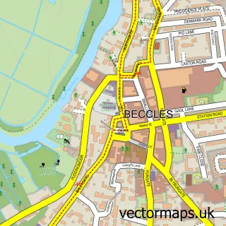

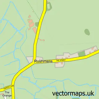
More street maps in Suffolk
750 metre map area coverage
Boundary, postcode and point of interest information for the 750m x 750m rectangle centred on this sample map.
Boundaries containing map centre
Constituency: Suffolk Coastal Co Const
County: Suffolk County
District: East Suffolk District
Icb: NHS Norfolk and Waveney ICB
Parish: Henstead with Hulver Street CP
Police Force: suffolk
Postcode District: NR34
Postcode Sector: NR34 7
Ward: Wrentham, Wangford & Westleton Ward
Nearby boundaries intersecting sample
No additional intersecting boundaries found.
Postcode coverage
POI category counts
Botanical Garden: 1
Commercial Industrial: 1
Equestrian Facility: 1
Flowers And Gifts Shop: 1
Landscaping: 1
Marketing Agency: 1
Private School: 1
Real Estate: 1
Sports Club And League: 1
Windows Installation: 1
Sample points of interest
- Henstead Exotic Gardens
- Eastway Pallets
- Annabelles Equestrian
- Pica crystal and Gifts
- Drives 4 U
- Uniqli
- The Old School Henstead
- Benacre Estate
- Annabelles Equestrian
- Ace Installations
Create a larger editable map of Henstead
This sample shows only a 750 metre area. To create a larger map of Henstead, use our map builder to choose your own coverage area, add titles and download editable SVG, PDF and PNG files.
Create a custom map of Henstead