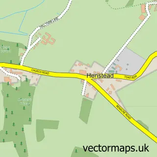
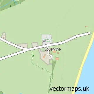
This Kessingland street map is a detailed vector street map covering a 750m x 750m area. Select a larger area to create and download your own vector street map of Kessingland.
The 750-metre map sample for Kessingland covers 569 mapped buildings and approximately 18.2 km of road detail, of which 23 named roads are named. The immediate area includes 1 GP surgery within 2 miles and 1 MOT station, with 7 within 2 miles. The wider area around Kessingland features 1 tourism point of interest, 1 food and drink venue and 2 hotels. To create a larger or custom map of Kessingland, the map builder lets you define your own coverage area and download editable SVG, PDF and PNG files.
Create a larger editable map of Kessingland
Choose any area you need and generate a high-quality vector map instantly. Perfect for print, planning, design, business and personal use.

This Kessingland street map in Suffolk is available as downloadable SVG, PDF and PNG map files, or as a printed map for planning, business, display, education, local information and design work. You can also create a larger custom map area using the map selector.
What this Kessingland map sample shows
Kessingland lies within Kessingland Cp parish, part of Kessingland ward in the East Suffolk District local authority area. The postcode geography for this area includes the NR postcode area, the NR33 postcode district and the NR33 7 postcode sector. Residents fall under the Nhs Norfolk And Waveney Integrated Care Board for NHS services.
Local features near Kessingland
Within 2 milesAmenities and services in and around Kessingland.
Administrative and postcode information for Kessingland
The local authority covering Kessingland is East Suffolk District, within the county of Suffolk. The settlement lies within Kessingland ward and Kessingland Cp civil parish. The NR33 postcode district and NR33 7 postcode sector serve the immediate area. NHS provision in the area is delivered through James Paget University Hospitals Nhs Foundation Trust.
Nearby street map samples around Kessingland

More street maps in Suffolk
750 metre map area coverage
Boundary, postcode and point of interest information for the 750m x 750m rectangle centred on this sample map.
Boundaries containing map centre
Constituency: Lowestoft Co Const
County: Suffolk County
District: East Suffolk District
Icb: NHS Norfolk and Waveney ICB
Parish: Kessingland CP
Police Force: suffolk
Postcode District: NR33
Postcode Sector: NR33 7
Ward: Kessingland Ward
Nearby boundaries intersecting sample
No additional intersecting boundaries found.
Postcode coverage
POI category counts
Convenience Store: 5
Church Cathedral: 3
Hair Salon: 3
Hotel: 3
Books Mags Music And Video: 2
Driving School: 2
Electrician: 2
Elementary School: 2
Gas Station: 2
Pet Groomer: 2
Sample points of interest
- The Cooperative Food (BF) Kessingland - Field Lane, Kessingland
- Kessingland Garage
- Aesthetics Lounge
- Ladbrokes
- CycleRecycle
- Cyclerecycle
- Kessingland High Street Post Office
- Post Office-High Street Kessingland
- Wyslings Carpet & Upholstery Cleaning
- Diamond Garage Equipment
- Kessingland Camping and Caravanning Club
- Church Motors Kessingland
Create a larger editable map of Kessingland
This sample shows only a 750 metre area. To create a larger map of Kessingland, use our map builder to choose your own coverage area, add titles and download editable SVG, PDF and PNG files.
Create a custom map of Kessingland