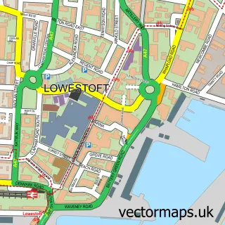
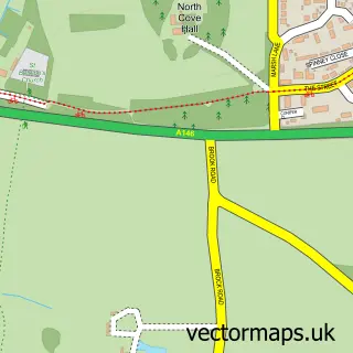
This Carlton Colville street map is a detailed vector street map covering a 750m x 750m area. Select a larger area to create and download your own vector street map of Carlton Colville.
The 750-metre map sample for Carlton Colville covers 476 mapped buildings and approximately 13.2 km of road detail, of which 27 named roads are named. The immediate area includes 1 school, 3 GP surgeries within 2 miles, 2 pubs and 8 MOT stations within 2 miles. The wider area around Carlton Colville features 2 tourism points of interest, 3 food and drink venues and 3 hotels. To create a larger or custom map of Carlton Colville, the map builder lets you define your own coverage area and download editable SVG, PDF and PNG files.
Create a larger editable map of Carlton Colville
Choose any area you need and generate a high-quality vector map instantly. Perfect for print, planning, design, business and personal use.

This Carlton Colville street map in Suffolk is available as downloadable SVG, PDF and PNG map files, or as a printed map for planning, business, display, education, local information and design work. You can also create a larger custom map area using the map selector.
What this Carlton Colville map sample shows
Carlton Colville lies within Carlton Colville Cp parish, part of Carlton Colville ward in the East Suffolk District local authority area. The postcode geography for this area includes the NR postcode area, the NR33 postcode district and the NR33 8 postcode sector. Residents fall under the Nhs Norfolk And Waveney Integrated Care Board for NHS services.
Local features near Carlton Colville
Within 2 milesAmenities and services in and around Carlton Colville.
Administrative and postcode information for Carlton Colville
Carlton Colville lies within Carlton Colville Cp parish, part of Carlton Colville ward in the East Suffolk District local authority area. The postcode geography for this area includes the NR postcode area, the NR33 postcode district and the NR33 8 postcode sector. Residents fall under the Nhs Norfolk And Waveney Integrated Care Board for NHS services.
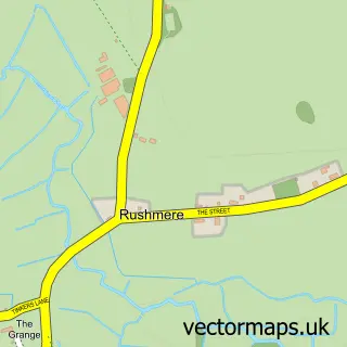
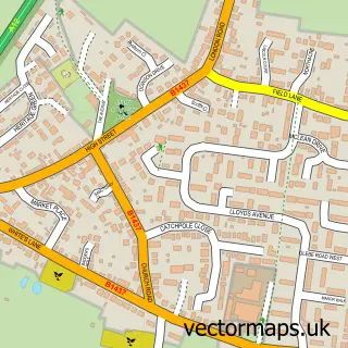
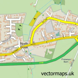
Nearby street map samples around Carlton Colville

More street maps in Suffolk
750 metre map area coverage
Boundary, postcode and point of interest information for the 750m x 750m rectangle centred on this sample map.
Boundaries containing map centre
Constituency: Lowestoft Co Const
County: Suffolk County
District: East Suffolk District
Icb: NHS Norfolk and Waveney ICB
Parish: Carlton Colville CP
Police Force: suffolk
Postcode District: NR33
Postcode Sector: NR33 8
Ward: Carlton Colville Ward
Nearby boundaries intersecting sample
No additional intersecting boundaries found.
Postcode coverage
POI category counts
Hotel: 3
Beauty Product Supplier: 2
Beauty Salon: 2
Building Supply Store: 2
Church Cathedral: 2
Convenience Store: 2
Pub: 2
Retirement Home: 2
Anglican Church: 1
Automotive Repair: 1
Sample points of interest
- St Peter's, Carlton Colville
- Carlton Colville Service Station
- Avenue Beauty Clinic
- Fantasy Hair
- Lela Michelle's Beauty
- The Avenue Beauty Clinic
- Empower EA
- Village Blinds
- The Chimney Sweep
- St Peter & St John Kirkley Messy Church
- St Peters Church
- Olive Tree Coffee House
Create a larger editable map of Carlton Colville
This sample shows only a 750 metre area. To create a larger map of Carlton Colville, use our map builder to choose your own coverage area, add titles and download editable SVG, PDF and PNG files.
Create a custom map of Carlton Colville