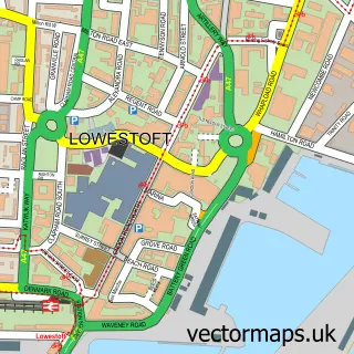
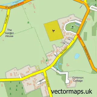
This Oulton Broad street map is a detailed vector street map covering a 750m x 750m area. Select a larger area to create and download your own vector street map of Oulton Broad.
The 750-metre map sample for Oulton Broad covers 305 mapped buildings and approximately 13.3 km of road detail, of which 26 named roads are named. The immediate area includes 1 railway station, 1 GP surgery, with 6 within 2 miles, 7 pubs and 15 MOT stations within 2 miles. The wider area around Oulton Broad features 5 tourism points of interest, 19 food and drink venues and 4 hotels. To create a larger or custom map of Oulton Broad, the map builder lets you define your own coverage area and download editable SVG, PDF and PNG files.
Create a larger editable map of Oulton Broad
Choose any area you need and generate a high-quality vector map instantly. Perfect for print, planning, design, business and personal use.

This Oulton Broad street map in Suffolk is available as downloadable SVG, PDF and PNG map files, or as a printed map for planning, business, display, education, local information and design work. You can also create a larger custom map area using the map selector.
What this Oulton Broad map sample shows
Oulton Broad lies within Oulton Broad Cp parish, part of Oulton Broad ward in the East Suffolk District local authority area. The postcode geography for this area includes the NR postcode area, the NR33 postcode district and the NR33 9 postcode sector. Residents fall under the Nhs Norfolk And Waveney Integrated Care Board for NHS services.
Local features near Oulton Broad
Within 2 milesAmenities and services in and around Oulton Broad.
Administrative and postcode information for Oulton Broad
Oulton Broad lies within Oulton Broad Cp parish, part of Oulton Broad ward in the East Suffolk District local authority area. The postcode geography for this area includes the NR postcode area, the NR33 postcode district and the NR33 9 postcode sector. Residents fall under the Nhs Norfolk And Waveney Integrated Care Board for NHS services.
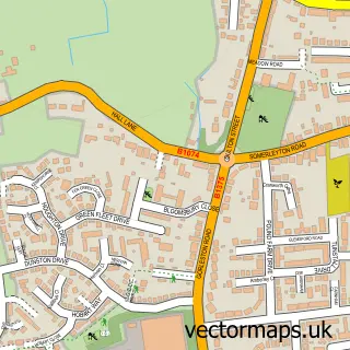
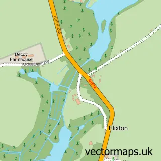
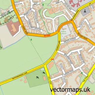
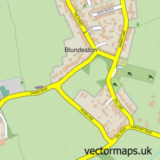
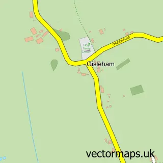
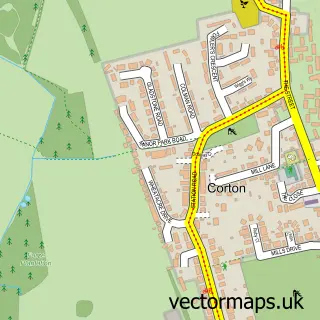
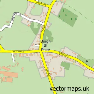
Nearby street map samples around Oulton Broad

More street maps in Suffolk
750 metre map area coverage
Boundary, postcode and point of interest information for the 750m x 750m rectangle centred on this sample map.
Boundaries containing map centre
Constituency: Lowestoft Co Const
County: Suffolk County
District: East Suffolk District
Icb: NHS Norfolk and Waveney ICB
Parish: Oulton Broad CP
Police Force: suffolk
Postcode District: NR32
Postcode Sector: NR32 3
Ward: Oulton Broad Ward
Nearby boundaries intersecting sample
Postcode District: NR33
Postcode Sector: NR33 9
Postcode coverage
POI category counts
Pub: 7
Cafe: 6
Hair Salon: 5
Professional Services: 5
Barber: 4
Fast Food Restaurant: 4
Hotel: 4
Boat Rental And Training: 3
Coffee Shop: 3
Convenience Store: 3
Sample points of interest
- Lovewell Blake
- TrustedAds
- Oulton Osteopathy
- Just-Repair IT
- Dough My God Bakery
- HSBC Bank
- NatWest
- Bar and Canteen
- Broadview Winebar | Lowestoft
- The Copper Smokehouse
- Bloww Mens Haircutters
- Crisp's Barber Shop | Lowestoft
Create a larger editable map of Oulton Broad
This sample shows only a 750 metre area. To create a larger map of Oulton Broad, use our map builder to choose your own coverage area, add titles and download editable SVG, PDF and PNG files.
Create a custom map of Oulton Broad