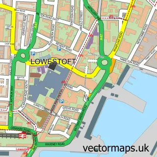
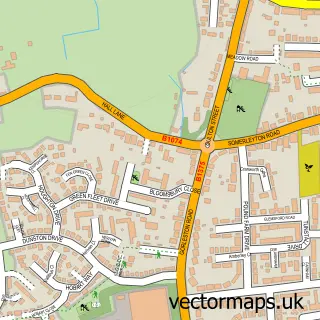
This Somerleyton street map is a detailed vector street map covering a 750m x 750m area. Select a larger area to create and download your own vector street map of Somerleyton.
The 750-metre map sample for Somerleyton covers 106 mapped buildings and approximately 10.2 km of road detail, of which 10 named roads are named. The immediate area includes 1 school and 1 MOT station within 2 miles. The wider area around Somerleyton features 1 tourism point of interest. To create a larger or custom map of Somerleyton, the map builder lets you define your own coverage area and download editable SVG, PDF and PNG files.
Create a larger editable map of Somerleyton
Choose any area you need and generate a high-quality vector map instantly. Perfect for print, planning, design, business and personal use.

This Somerleyton street map in Suffolk is available as downloadable SVG, PDF and PNG map files, or as a printed map for planning, business, display, education, local information and design work. You can also create a larger custom map area using the map selector.
What this Somerleyton map sample shows
Somerleyton lies within Somerleyton, Ashby And Herringfleet Cp parish, part of Lothingland ward in the East Suffolk District local authority area. The postcode geography for this area includes the NR postcode area, the NR32 postcode district and the NR32 5 postcode sector. Residents fall under the Nhs Norfolk And Waveney Integrated Care Board for NHS services.
Local features near Somerleyton
Within 2 milesAmenities and services in and around Somerleyton.
Administrative and postcode information for Somerleyton
Somerleyton lies within Somerleyton, Ashby And Herringfleet Cp parish, part of Lothingland ward in the East Suffolk District local authority area. The postcode geography for this area includes the NR postcode area, the NR32 postcode district and the NR32 5 postcode sector. Residents fall under the Nhs Norfolk And Waveney Integrated Care Board for NHS services.
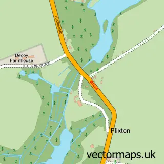
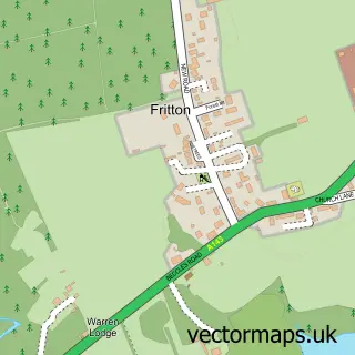
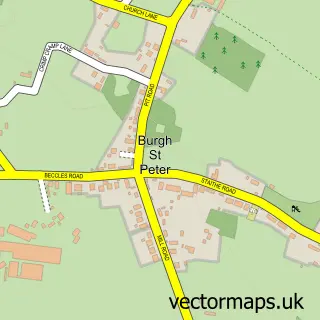
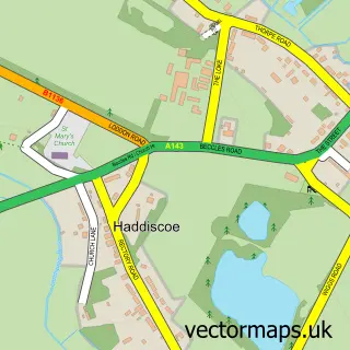
Nearby street map samples around Somerleyton

More street maps in Suffolk
750 metre map area coverage
Boundary, postcode and point of interest information for the 750m x 750m rectangle centred on this sample map.
Boundaries containing map centre
Constituency: Lowestoft Co Const
County: Suffolk County
District: East Suffolk District
Icb: NHS Norfolk and Waveney ICB
Parish: Somerleyton, Ashby and Herringfleet CP
Police Force: suffolk
Postcode District: NR32
Postcode Sector: NR32 5
Ward: Lothingland Ward
Nearby boundaries intersecting sample
No additional intersecting boundaries found.
Postcode coverage
POI category counts
Business Management Services: 2
Post Office: 2
Bed And Breakfast: 1
Bike Rentals: 1
Elementary School: 1
Holiday Rental Home: 1
Park: 1
Sample points of interest
- Waveney Grange
- Somerleyton Cycle Hire, Sales & Ice Cream Parlour
- I E C
- Independent Environmental Consultancy (IEC)
- Somerleyton Primary School
- No.1 Station Road
- Somerleyton Hall
- Post Office
- Post Office-Somerleyton
Create a larger editable map of Somerleyton
This sample shows only a 750 metre area. To create a larger map of Somerleyton, use our map builder to choose your own coverage area, add titles and download editable SVG, PDF and PNG files.
Create a custom map of Somerleyton