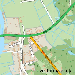
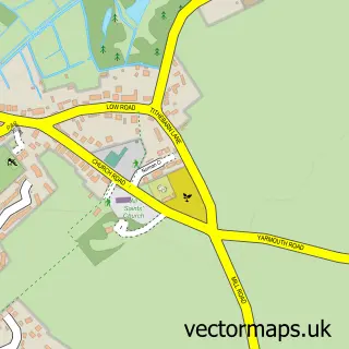
This Fritton street map is a detailed vector street map covering a 750m x 750m area. Select a larger area to create and download your own vector street map of Fritton.
The 750-metre map sample for Fritton covers 112 mapped buildings and approximately 6.6 km of road detail, of which 5 named roads are named. The immediate area includes 1 MOT station within 2 miles. The wider area around Fritton features 1 campsite within 2 miles. To create a larger or custom map of Fritton, the map builder lets you define your own coverage area and download editable SVG, PDF and PNG files.
Create a larger editable map of Fritton
Choose any area you need and generate a high-quality vector map instantly. Perfect for print, planning, design, business and personal use.

This Fritton street map in Norfolk is available as downloadable SVG, PDF and PNG map files, or as a printed map for planning, business, display, education, local information and design work. You can also create a larger custom map area using the map selector.
What this Fritton map sample shows
Fritton lies within Fritton And St. Olaves Cp parish, part of Lothingland ward in the Great Yarmouth District (B) local authority area. The postcode geography for this area includes the NR postcode area, the NR31 postcode district and the NR31 9 postcode sector. Residents fall under the Nhs Norfolk And Waveney Integrated Care Board for NHS services.
Local features near Fritton
Within 2 milesAmenities and services in and around Fritton.
Administrative and postcode information for Fritton
Fritton lies within Fritton And St. Olaves Cp parish, part of Lothingland ward in the Great Yarmouth District (B) local authority area. The postcode geography for this area includes the NR postcode area, the NR31 postcode district and the NR31 9 postcode sector. Residents fall under the Nhs Norfolk And Waveney Integrated Care Board for NHS services.
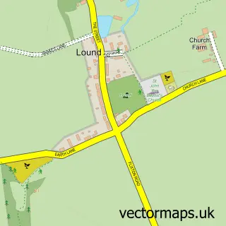
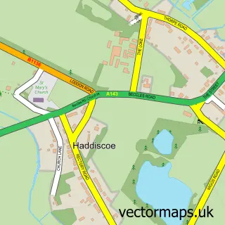
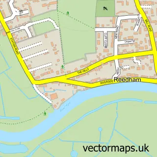
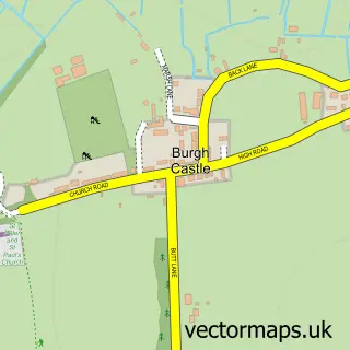
Nearby street map samples around Fritton

More street maps in Norfolk
750 metre map area coverage
Boundary, postcode and point of interest information for the 750m x 750m rectangle centred on this sample map.
Boundaries containing map centre
Constituency: Great Yarmouth Co Const
County: Norfolk County
District: Great Yarmouth District (B)
Icb: NHS Norfolk and Waveney ICB
Parish: Fritton and St. Olaves CP
Police Force: norfolk
Postcode District: NR31
Postcode Sector: NR31 9
Ward: Lothingland Ward
Nearby boundaries intersecting sample
No additional intersecting boundaries found.
Postcode coverage
POI category counts
Post Office: 2
Bar: 1
Bed And Breakfast: 1
Building Supply Store: 1
Contractor: 1
Flea Market: 1
Marina: 1
Retail: 1
Stadium Arena: 1
Storage Facility: 1
Sample points of interest
- Decoy Tavern
- Decoy Barn Guest House
- Grosvenor Flooring
- Carlton Builders
- Fritton Flea Market
- St Olaves Marina
- Fritton Post Office
- Post Office
- The Greenery: Plant Shop Norfolk
- Caldecott Seniors
- Johnsons Yacht Station
Create a larger editable map of Fritton
This sample shows only a 750 metre area. To create a larger map of Fritton, use our map builder to choose your own coverage area, add titles and download editable SVG, PDF and PNG files.
Create a custom map of Fritton