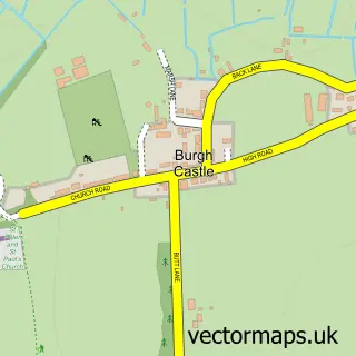
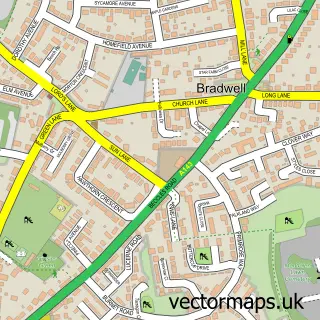
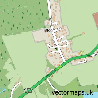
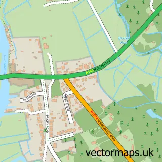
This Belton street map is a detailed vector street map covering a 750m x 750m area. Select a larger area to create and download your own vector street map of Belton.
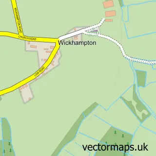
The 750-metre map sample for Belton covers 585 mapped buildings and approximately 18.1 km of road detail, of which 37 named roads are named. The immediate area includes 2 schools, 1 GP surgery within 2 miles and 2 pubs. The wider area around Belton features 3 tourism points of interest, 3 food and drink venues and 1 hotel. To create a larger or custom map of Belton, the map builder lets you define your own coverage area and download editable SVG, PDF and PNG files.
Create a larger editable map of Belton
Choose any area you need and generate a high-quality vector map instantly. Perfect for print, planning, design, business and personal use.

This Belton street map in Norfolk is available as downloadable SVG, PDF and PNG map files, or as a printed map for planning, business, display, education, local information and design work. You can also create a larger custom map area using the map selector.
What this Belton map sample shows
Belton lies within Belton With Browston Cp parish, part of Lothingland ward in the Great Yarmouth District (B) local authority area. The postcode geography for this area includes the NR postcode area, the NR31 postcode district and the NR31 9 postcode sector. Residents fall under the Nhs Norfolk And Waveney Integrated Care Board for NHS services.
Local features near Belton
Within 2 milesAmenities and services in and around Belton.
Administrative and postcode information for Belton
Belton lies within Belton With Browston Cp parish, part of Lothingland ward in the Great Yarmouth District (B) local authority area. The postcode geography for this area includes the NR postcode area, the NR31 postcode district and the NR31 9 postcode sector. Residents fall under the Nhs Norfolk And Waveney Integrated Care Board for NHS services.
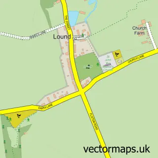
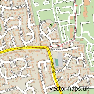
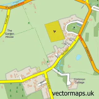
Nearby street map samples around Belton

More street maps in Norfolk
750 metre map area coverage
Boundary, postcode and point of interest information for the 750m x 750m rectangle centred on this sample map.
Boundaries containing map centre
Constituency: Great Yarmouth Co Const
County: Norfolk County
District: Great Yarmouth District (B)
Icb: NHS Norfolk and Waveney ICB
Parish: Belton with Browston CP
Police Force: norfolk
Postcode District: NR31
Postcode Sector: NR31 9
Ward: Lothingland Ward
Nearby boundaries intersecting sample
No additional intersecting boundaries found.
Postcode coverage
POI category counts
Beauty Salon: 2
Hobby Shop: 2
Landmark And Historical Building: 2
Pub: 2
Retail: 2
Roofing: 2
Anglican Church: 1
Automotive: 1
Automotive Services And Repair: 1
Bar: 1
Sample points of interest
- Belton: All Saints
- Throwers Motors
- Technical Electrical Solutions Norfolk
- The Railway Tavern
- Hair Cabin
- The Beauty Room No12
- TB Tiling And Refurbishments
- Binky's
- Rose Farm Caravan Park
- SJS Roofing
- Young's Chinese Takeaway
- All Saints Church
Create a larger editable map of Belton
This sample shows only a 750 metre area. To create a larger map of Belton, use our map builder to choose your own coverage area, add titles and download editable SVG, PDF and PNG files.
Create a custom map of Belton