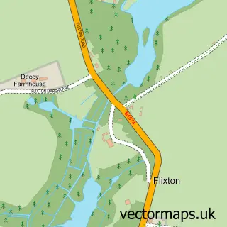
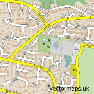
This Hopton-on-Sea street map is a detailed vector street map covering a 750m x 750m area. Select a larger area to create and download your own vector street map of Hopton-on-Sea.
The 750-metre map sample for Hopton-on-Sea covers 617 mapped buildings and approximately 20.9 km of road detail, of which 47 named roads are named. The immediate area includes 1 school and 1 pub. The wider area around Hopton-on-Sea features 2 tourism points of interest, 3 food and drink venues and 4 hotels. To create a larger or custom map of Hopton-on-Sea, the map builder lets you define your own coverage area and download editable SVG, PDF and PNG files.
Create a larger editable map of Hopton-on-Sea
Choose any area you need and generate a high-quality vector map instantly. Perfect for print, planning, design, business and personal use.

This Hopton-on-Sea street map in Norfolk is available as downloadable SVG, PDF and PNG map files, or as a printed map for planning, business, display, education, local information and design work. You can also create a larger custom map area using the map selector.
What this Hopton-on-Sea map sample shows
Hopton-on-Sea lies within Hopton-On-Sea Cp parish, part of Bradwell South And Hopton ward in the Great Yarmouth District (B) local authority area. The postcode geography for this area includes the NR postcode area, the NR31 postcode district and the NR31 9 postcode sector. Residents fall under the Nhs Norfolk And Waveney Integrated Care Board for NHS services.
Local features near Hopton-on-Sea
Within 2 milesAmenities and services in and around Hopton-on-Sea.
Administrative and postcode information for Hopton-on-Sea
The local authority covering Hopton-on-Sea is Great Yarmouth District (B), within the county of Norfolk. The settlement lies within Bradwell South And Hopton ward and Hopton-On-Sea Cp civil parish. The NR31 postcode district and NR31 9 postcode sector serve the immediate area. NHS provision in the area is delivered through James Paget University Hospitals Nhs Foundation Trust.
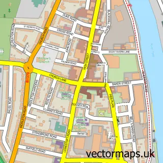
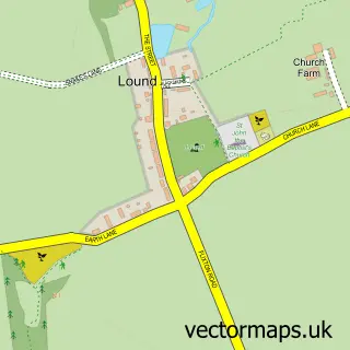
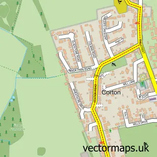
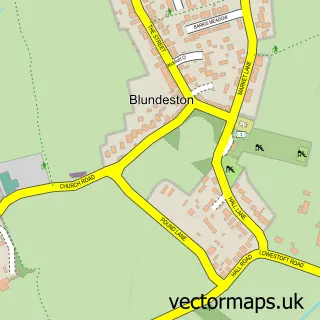
Nearby street map samples around Hopton-on-Sea

More street maps in Norfolk
750 metre map area coverage
Boundary, postcode and point of interest information for the 750m x 750m rectangle centred on this sample map.
Boundaries containing map centre
Constituency: Great Yarmouth Co Const
County: Norfolk County
District: Great Yarmouth District (B)
Icb: NHS Norfolk and Waveney ICB
Parish: Hopton-on-Sea CP
Police Force: norfolk
Postcode District: NR31
Postcode Sector: NR31 9
Ward: Bradwell South and Hopton Ward
Nearby boundaries intersecting sample
No additional intersecting boundaries found.
Postcode coverage
POI category counts
Convenience Store: 3
General Dentistry: 3
Holiday Rental Home: 3
Rental Kiosks: 3
Rv Park: 3
Amusement Park: 2
Bar: 2
Carpenter: 2
Martial Arts Club: 2
Mobile Home Park: 2
Sample points of interest
- Caravan Sales at Hopton
- The Bubble Design Company
- Bubbles Amusements Hopton
- Hopton Holiday Village
- Stardust Amusements
- Showbar At Hopton Holiday Park
- The Marina Stage and Bar
- Turnstone
- Beauty By Joanna - Norfolk
- The WORX unisex Hair studio hopton on sea
- Burger King
- Cmats
Create a larger editable map of Hopton-on-Sea
This sample shows only a 750 metre area. To create a larger map of Hopton-on-Sea, use our map builder to choose your own coverage area, add titles and download editable SVG, PDF and PNG files.
Create a custom map of Hopton-on-Sea