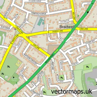
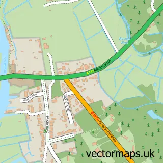
This Gorleston-on-Sea street map is a detailed vector street map covering a 750m x 750m area. Select a larger area to create and download your own vector street map of Gorleston-on-Sea.
The 750-metre map sample for Gorleston-on-Sea covers 330 mapped buildings and approximately 22.2 km of road detail, of which 40 named roads are named. The immediate area includes 1 school, 1 GP surgery, with 4 within 2 miles, 15 pubs and 2 MOT stations, with 19 within 2 miles. The wider area around Gorleston-on-Sea features 1 tourism point of interest, 32 food and drink venues and 1 hotel. To create a larger or custom map of Gorleston-on-Sea, the map builder lets you define your own coverage area and download editable SVG, PDF and PNG files.
Create a larger editable map of Gorleston-on-Sea
Choose any area you need and generate a high-quality vector map instantly. Perfect for print, planning, design, business and personal use.

This Gorleston-on-Sea street map in Norfolk is available as downloadable SVG, PDF and PNG map files, or as a printed map for planning, business, display, education, local information and design work. You can also create a larger custom map area using the map selector.
What this Gorleston-on-Sea map sample shows
Gorleston-on-Sea lies within Norfolk County parish, part of Nelson ward in the Great Yarmouth District (B) local authority area. The postcode geography for this area includes the NR postcode area, the NR30 postcode district and the NR30 3 postcode sector. Residents fall under the Nhs Norfolk And Waveney Integrated Care Board for NHS services.
Local features near Gorleston-on-Sea
Within 2 milesAmenities and services in and around Gorleston-on-Sea.
Administrative and postcode information for Gorleston-on-Sea
The local authority covering Gorleston-on-Sea is Great Yarmouth District (B), within the county of Norfolk. The settlement lies within Nelson ward and Norfolk County civil parish. The NR30 postcode district and NR30 3 postcode sector serve the immediate area. NHS provision in the area is delivered through James Paget University Hospitals Nhs Foundation Trust.
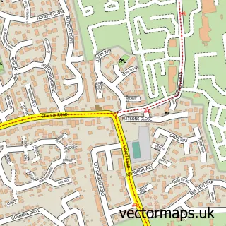
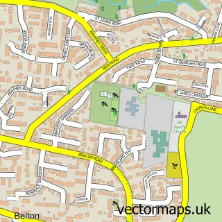
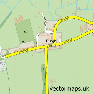
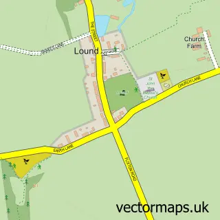
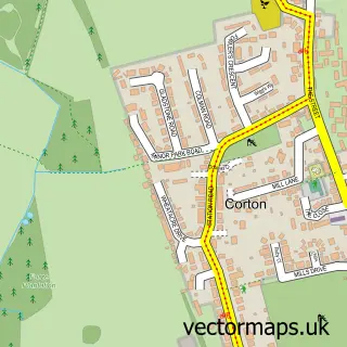
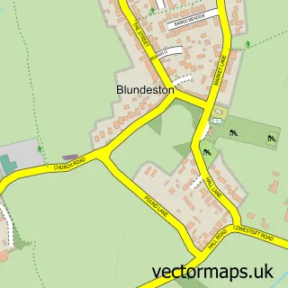
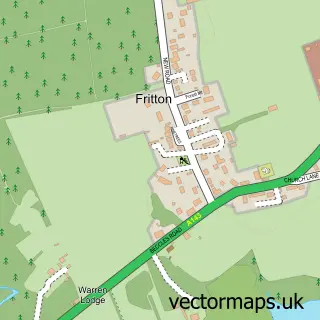
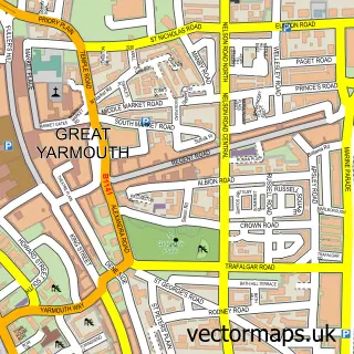
Nearby street map samples around Gorleston-on-Sea

More street maps in Norfolk
750 metre map area coverage
Boundary, postcode and point of interest information for the 750m x 750m rectangle centred on this sample map.
Boundaries containing map centre
Constituency: Great Yarmouth Co Const
County: Norfolk County
District: Great Yarmouth District (B)
Icb: NHS Norfolk and Waveney ICB
Police Force: norfolk
Postcode District: NR31
Postcode Sector: NR31 6
Ward: St. Andrews Ward
Nearby boundaries intersecting sample
Postcode District: NR30
Postcode Sector: NR30 3, NR31 7
Ward: Nelson Ward
Postcode coverage
POI category counts
Pub: 15
Beauty Salon: 14
Real Estate Agent: 9
Hair Salon: 8
Tattoo And Piercing: 8
Beauty And Spa: 6
Cafe: 6
Clothing Store: 6
Coffee Shop: 5
Restaurant: 5
Sample points of interest
- Haines Watts Chartered Accountants
- John H Simpson & Associates
- John H Simpson Accountants
- Buffalo Bills Smoke House
- Gorleston: St. Andrew
- St. Andrew's Church
- Smith & Co.
- Smith and Co
- Sue Ryder
- Keyzor's Packing Cases
- Evergreens
- Vonny's Yarns & Haberdashery
Create a larger editable map of Gorleston-on-Sea
This sample shows only a 750 metre area. To create a larger map of Gorleston-on-Sea, use our map builder to choose your own coverage area, add titles and download editable SVG, PDF and PNG files.
Create a custom map of Gorleston-on-Sea