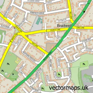
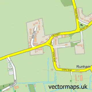
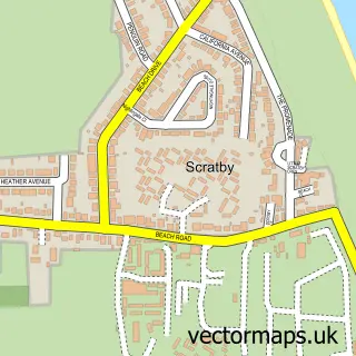
This Great Yarmouth street map is a detailed vector street map covering a 750m x 750m area. Select a larger area to create and download your own vector street map of Great Yarmouth.
The 750-metre map sample for Great Yarmouth covers 280 mapped buildings and approximately 32.1 km of road detail, of which 75 named roads are named. The immediate area includes 2 schools, 1 GP surgery, with 3 within 2 miles, 20 pubs and 21 MOT stations within 2 miles. The wider area around Great Yarmouth features 11 tourism points of interest, 75 food and drink venues and 39 hotels. To create a larger or custom map of Great Yarmouth, the map builder lets you define your own coverage area and download editable SVG, PDF and PNG files.
Create a larger editable map of Great Yarmouth
Choose any area you need and generate a high-quality vector map instantly. Perfect for print, planning, design, business and personal use.

This Great Yarmouth street map in Norfolk is available as downloadable SVG, PDF and PNG map files, or as a printed map for planning, business, display, education, local information and design work. You can also create a larger custom map area using the map selector.
What this Great Yarmouth map sample shows
Great Yarmouth lies within Norfolk County parish, part of Central And Northgate ward in the Great Yarmouth District (B) local authority area. The postcode geography for this area includes the NR postcode area, the NR30 postcode district and the NR30 1 postcode sector. Residents fall under the Nhs Norfolk And Waveney Integrated Care Board for NHS services.
Local features near Great Yarmouth
Within 2 milesAmenities and services in and around Great Yarmouth.
Administrative and postcode information for Great Yarmouth
Great Yarmouth lies within Norfolk County parish, part of Central And Northgate ward in the Great Yarmouth District (B) local authority area. The postcode geography for this area includes the NR postcode area, the NR30 postcode district and the NR30 1 postcode sector. Residents fall under the Nhs Norfolk And Waveney Integrated Care Board for NHS services.
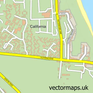
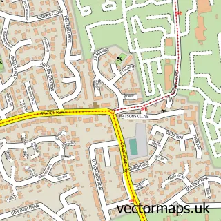
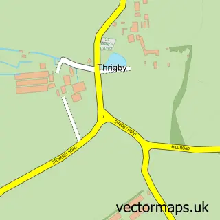
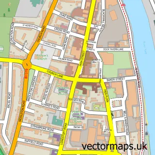
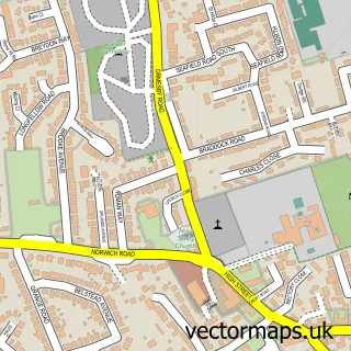
Nearby street map samples around Great Yarmouth

More street maps in Norfolk
750 metre map area coverage
Boundary, postcode and point of interest information for the 750m x 750m rectangle centred on this sample map.
Boundaries containing map centre
Constituency: Great Yarmouth Co Const
County: Norfolk County
District: Great Yarmouth District (B)
Icb: NHS Norfolk and Waveney ICB
Police Force: norfolk
Postcode District: NR30
Postcode Sector: NR30 2
Ward: Central And Northgate Ward
Nearby boundaries intersecting sample
Postcode Sector: NR30 1
Ward: Nelson Ward
Postcode coverage
POI category counts
Hotel: 39
Bed And Breakfast: 32
Restaurant: 28
Clothing Store: 25
Cafe: 20
Pub: 20
Fast Food Restaurant: 19
Flowers And Gifts Shop: 17
Charity Organization: 16
Bar: 15
Sample points of interest
- Troll Cart Wetherspoons
- Fairhead Bradford
- M P Watson
- Exxus Media
- Doctor & Herbs
- Admiral Casino: Great Yarmouth
- Magic City Arcade
- Majestic Amusements
- Sense
- Admiral Slots
- Atlantis Complex
- Atlantis Tower
Create a larger editable map of Great Yarmouth
This sample shows only a 750 metre area. To create a larger map of Great Yarmouth, use our map builder to choose your own coverage area, add titles and download editable SVG, PDF and PNG files.
Create a custom map of Great Yarmouth