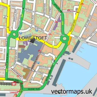
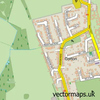
This Oulton street map is a detailed vector street map covering a 750m x 750m area. Select a larger area to create and download your own vector street map of Oulton.
The 750-metre map sample for Oulton covers 476 mapped buildings and approximately 14.0 km of road detail, of which 38 named roads are named. The immediate area includes 4 GP surgeries within 2 miles, 1 pub and 16 MOT stations within 2 miles. The wider area around Oulton features 1 food and drink venue. To create a larger or custom map of Oulton, the map builder lets you define your own coverage area and download editable SVG, PDF and PNG files.
Create a larger editable map of Oulton
Choose any area you need and generate a high-quality vector map instantly. Perfect for print, planning, design, business and personal use.

This Oulton street map in Suffolk is available as downloadable SVG, PDF and PNG map files, or as a printed map for planning, business, display, education, local information and design work. You can also create a larger custom map area using the map selector.
What this Oulton map sample shows
Oulton lies within Oulton Cp parish, part of Oulton Broad ward in the East Suffolk District local authority area. The postcode geography for this area includes the NR postcode area, the NR32 postcode district and the NR32 5 postcode sector. Residents fall under the Nhs Norfolk And Waveney Integrated Care Board for NHS services.
Local features near Oulton
Within 2 milesAmenities and services in and around Oulton.
Administrative and postcode information for Oulton
The local authority covering Oulton is East Suffolk District, within the county of Suffolk. The settlement lies within Oulton Broad ward and Oulton Cp civil parish. The NR32 postcode district and NR32 5 postcode sector serve the immediate area. NHS provision in the area is delivered through James Paget University Hospitals Nhs Foundation Trust.
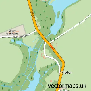
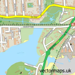
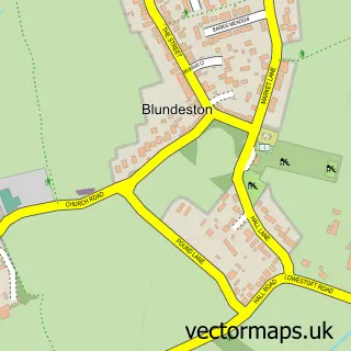
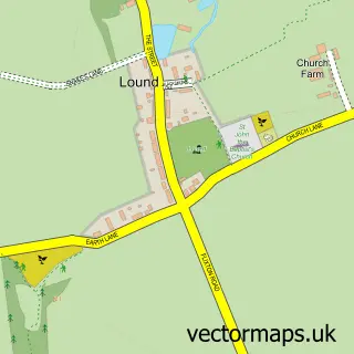
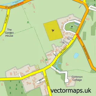
Nearby street map samples around Oulton

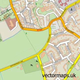
More street maps in Suffolk
750 metre map area coverage
Boundary, postcode and point of interest information for the 750m x 750m rectangle centred on this sample map.
Boundaries containing map centre
Constituency: Lowestoft Co Const
County: Suffolk County
District: East Suffolk District
Icb: NHS Norfolk and Waveney ICB
Parish: Oulton CP
Police Force: suffolk
Postcode District: NR32
Postcode Sector: NR32 3
Ward: Oulton Broad Ward
Nearby boundaries intersecting sample
Parish: Flixton CP, Lowestoft CP, Oulton Broad CP
Postcode Sector: NR32 4, NR32 5
Ward: Lothingland Ward
Postcode coverage
POI category counts
Contractor: 2
Dentist: 2
Anglican Church: 1
Beauty And Spa: 1
Building Supply Store: 1
Butcher Shop: 1
Child Care And Day Care: 1
Coach Bus: 1
Community Center: 1
Day Care Preschool: 1
Sample points of interest
- ------
- The Academy and Beauty Room
- Anchor Roofing
- E.C.Longworth Butchers
- Tumble Tots Waveney
- Happiness Events
- Oulton Community Centre
- Graham Oldman Builders
- HeatservUK
- The Otium Centre
- John G Plummer & Associates
- John G. Plummer & Associates Dental Surgeons
Create a larger editable map of Oulton
This sample shows only a 750 metre area. To create a larger map of Oulton, use our map builder to choose your own coverage area, add titles and download editable SVG, PDF and PNG files.
Create a custom map of Oulton