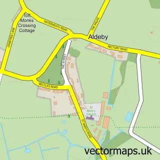
This Haddiscoe street map is a detailed vector street map covering a 750m x 750m area. Select a larger area to create and download your own vector street map of Haddiscoe.
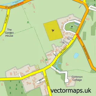
The 750-metre map sample for Haddiscoe covers 133 mapped buildings and approximately 9.3 km of road detail, of which 11 named roads are named. The immediate area includes 1 MOT station within 2 miles. The wider area around Haddiscoe features 1 tourism point of interest and 1 hotel. To create a larger or custom map of Haddiscoe, the map builder lets you define your own coverage area and download editable SVG, PDF and PNG files.
Create a larger editable map of Haddiscoe
Choose any area you need and generate a high-quality vector map instantly. Perfect for print, planning, design, business and personal use.

This Haddiscoe street map in Norfolk is available as downloadable SVG, PDF and PNG map files, or as a printed map for planning, business, display, education, local information and design work. You can also create a larger custom map area using the map selector.
What this Haddiscoe map sample shows
Haddiscoe lies within Haddiscoe Cp parish, part of Thurlton ward in the South Norfolk District local authority area. The postcode geography for this area includes the NR postcode area, the NR14 postcode district and the NR14 6 postcode sector. Residents fall under the Nhs Norfolk And Waveney Integrated Care Board for NHS services.
Local features near Haddiscoe
Within 2 milesAmenities and services in and around Haddiscoe.
Administrative and postcode information for Haddiscoe
Haddiscoe lies within Haddiscoe Cp parish, part of Thurlton ward in the South Norfolk District local authority area. The postcode geography for this area includes the NR postcode area, the NR14 postcode district and the NR14 6 postcode sector. Residents fall under the Nhs Norfolk And Waveney Integrated Care Board for NHS services.
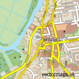
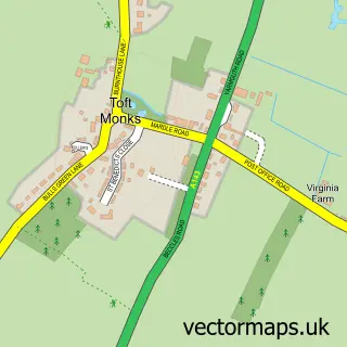
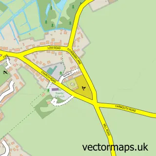
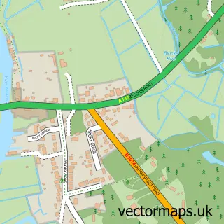
Nearby street map samples around Haddiscoe

More street maps in Norfolk
750 metre map area coverage
Boundary, postcode and point of interest information for the 750m x 750m rectangle centred on this sample map.
Boundaries containing map centre
Constituency: South Norfolk Co Const
County: Norfolk County
District: South Norfolk District
Icb: NHS Norfolk and Waveney ICB
Parish: Haddiscoe CP
Police Force: norfolk
Postcode District: NR14
Postcode Sector: NR14 6
Ward: Thurlton Ward
Nearby boundaries intersecting sample
No additional intersecting boundaries found.
Postcode coverage
POI category counts
Anglican Church: 1
Bar: 1
Beauty And Spa: 1
Forestry Service: 1
Home Goods Store: 1
Hotel: 1
Landmark And Historical Building: 1
Livestock Breeder: 1
Pest Control Service: 1
Pet Sitting: 1
Sample points of interest
- Haddiscoe: St Mary
- The Haddiscoe Tavern
- Kerries cutting cottage
- McCarthy Tree Services
- The Norfolk Candle Company
- Plantation House
- St Mary's Forge
- Thorpe Hall Manor
- Control Pest Delete
- Windmill Cottage Boarding Kennels
- Haddiscoe Village Hall
Create a larger editable map of Haddiscoe
This sample shows only a 750 metre area. To create a larger map of Haddiscoe, use our map builder to choose your own coverage area, add titles and download editable SVG, PDF and PNG files.
Create a custom map of Haddiscoe