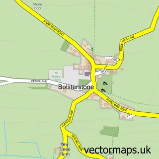
This High Bradfield street map is a detailed vector street map covering a 750m x 750m area. Select a larger area to create and download your own vector street map of High Bradfield.
The 750-metre map sample for High Bradfield covers 43 mapped buildings and approximately 10.2 km of road detail, of which 4 named roads are named. The immediate area includes 2 pubs. The wider area around High Bradfield features 4 tourism points of interest and 2 food and drink venues. To create a larger or custom map of High Bradfield, the map builder lets you define your own coverage area and download editable SVG, PDF and PNG files.
Create a larger editable map of High Bradfield
Choose any area you need and generate a high-quality vector map instantly. Perfect for print, planning, design, business and personal use.

This High Bradfield street map in South Yorkshire is available as downloadable SVG, PDF and PNG map files, or as a printed map for planning, business, display, education, local information and design work. You can also create a larger custom map area using the map selector.
What this High Bradfield map sample shows
High Bradfield lies within Bradfield Cp parish, part of Stannington ward in the Sheffield District (B) local authority area. The postcode geography for this area includes the S postcode area, the S6 postcode district and the S6 6 postcode sector. Residents fall under the Nhs South Yorkshire Integrated Care Board for NHS services.
Local features near High Bradfield
Within 2 milesAmenities and services in and around High Bradfield.
Administrative and postcode information for High Bradfield
The local authority covering High Bradfield is Sheffield District (B), within the county of South Yorkshire. The settlement lies within Stannington ward and Bradfield Cp civil parish. The S6 postcode district and S6 6 postcode sector serve the immediate area. NHS provision in the area is delivered through Sheffield Teaching Hospitals Nhs Foundation Trust.
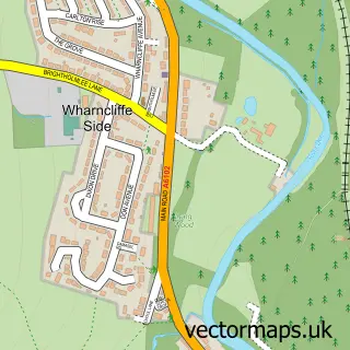
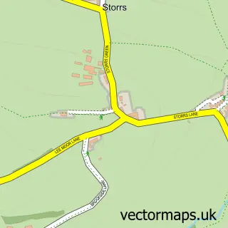
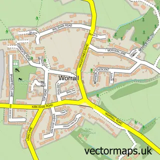
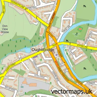
Nearby street map samples around High Bradfield
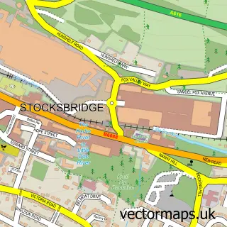

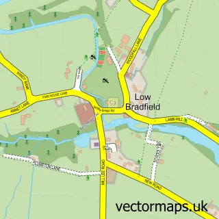
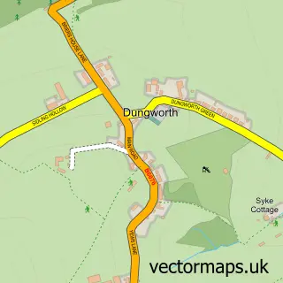
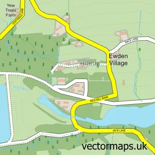
More street maps in South Yorkshire
750 metre map area coverage
Boundary, postcode and point of interest information for the 750m x 750m rectangle centred on this sample map.
Boundaries containing map centre
Constituency: Sheffield Hallam Co Const
District: Sheffield District (B)
Icb: NHS South Yorkshire ICB
Parish: Bradfield CP
Police Force: south yorkshire
Postcode District: S6
Postcode Sector: S6 6
Ward: Stannington Ward
Nearby boundaries intersecting sample
Postcode District: S35
Postcode Sector: S35 0
Postcode coverage
POI category counts
Church Cathedral: 3
Landmark And Historical Building: 3
Pub: 2
Arts And Entertainment: 1
Brewery: 1
Park: 1
Telecommunications: 1
Sample points of interest
- England Supporters Band
- Bradfield Brewery
- Bradfield Church
- Bradfield parish church, High Bradfield, Sheffield
- Church of St Nicholas, Bradfield
- Bradfield Bailey Hill
- Bradfield Castle Hill
- Bradfield, South Yorkshire
- High Bradfield
- Old Horns Inn
- The Old Horns Inn
- Rhapsody Software
Create a larger editable map of High Bradfield
This sample shows only a 750 metre area. To create a larger map of High Bradfield, use our map builder to choose your own coverage area, add titles and download editable SVG, PDF and PNG files.
Create a custom map of High Bradfield