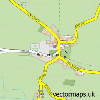
This Low Bradfield street map is a detailed vector street map covering a 750m x 750m area. Select a larger area to create and download your own vector street map of Low Bradfield.
The 750-metre map sample for Low Bradfield covers 67 mapped buildings and approximately 27.5 km of road detail, of which 14 named roads are named. The immediate area includes 2 pubs. The wider area around Low Bradfield features 2 tourism points of interest and 4 food and drink venues. To create a larger or custom map of Low Bradfield, the map builder lets you define your own coverage area and download editable SVG, PDF and PNG files.
Create a larger editable map of Low Bradfield
Choose any area you need and generate a high-quality vector map instantly. Perfect for print, planning, design, business and personal use.

This Low Bradfield street map in South Yorkshire is available as downloadable SVG, PDF and PNG map files, or as a printed map for planning, business, display, education, local information and design work. You can also create a larger custom map area using the map selector.
What this Low Bradfield map sample shows
Low Bradfield lies within Bradfield Cp parish, part of Stannington ward in the Sheffield District (B) local authority area. The postcode geography for this area includes the S postcode area, the S6 postcode district and the S6 6 postcode sector. Residents fall under the Nhs South Yorkshire Integrated Care Board for NHS services.
Local features near Low Bradfield
Within 2 milesAmenities and services in and around Low Bradfield.
Administrative and postcode information for Low Bradfield
Low Bradfield lies within Bradfield Cp parish, part of Stannington ward in the Sheffield District (B) local authority area. The postcode geography for this area includes the S postcode area, the S6 postcode district and the S6 6 postcode sector. Residents fall under the Nhs South Yorkshire Integrated Care Board for NHS services.
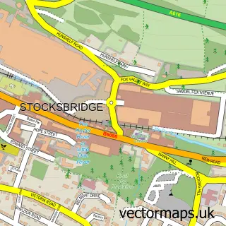
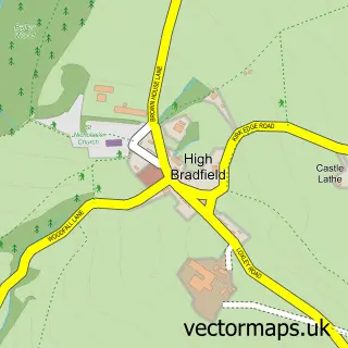
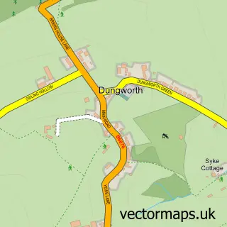
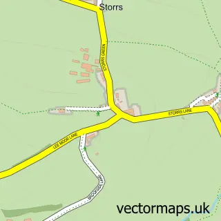
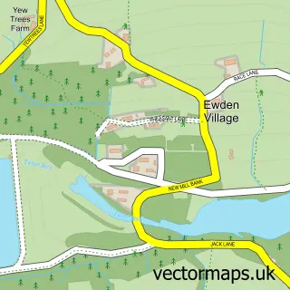
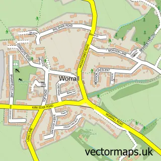
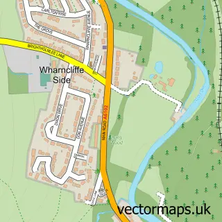
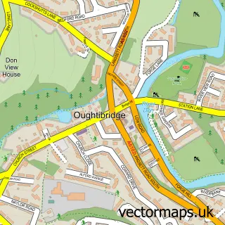
Nearby street map samples around Low Bradfield

More street maps in South Yorkshire
750 metre map area coverage
Boundary, postcode and point of interest information for the 750m x 750m rectangle centred on this sample map.
Boundaries containing map centre
Constituency: Sheffield Hallam Co Const
District: Sheffield District (B)
Icb: NHS South Yorkshire ICB
Parish: Bradfield CP
Police Force: south yorkshire
Postcode District: S6
Postcode Sector: S6 6
Ward: Stannington Ward
Nearby boundaries intersecting sample
No additional intersecting boundaries found.
Postcode coverage
POI category counts
Pub: 2
Active Life: 1
Automotive Repair: 1
Cafe: 1
Car Dealer: 1
Church Cathedral: 1
Cottage: 1
Cricket Ground: 1
Desserts: 1
Event Planning: 1
Sample points of interest
- Bradfield Cricket Club
- Smithy Garage Motor Services
- The Schoolrooms
- Bradfield Cars and Classics
- Christ Church Stannington
- Plough Cottage
- Bradfield Village Cricket Club Fellowship
- Scoop
- Bradfield Village Hall
- Bradfield Farmers Market
- Fair House Farmhouse
- Bradfield Park Sheffield
Create a larger editable map of Low Bradfield
This sample shows only a 750 metre area. To create a larger map of Low Bradfield, use our map builder to choose your own coverage area, add titles and download editable SVG, PDF and PNG files.
Create a custom map of Low Bradfield