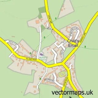
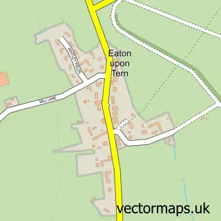
This Hinstock street map is a detailed vector street map covering a 750m x 750m area. Select a larger area to create and download your own vector street map of Hinstock.
The 750-metre map sample for Hinstock covers 210 mapped buildings and approximately 9.1 km of road detail, of which 15 named roads are named. The immediate area includes 1 school, 1 pub and 1 MOT station within 2 miles. The wider area around Hinstock features 1 food and drink venue. To create a larger or custom map of Hinstock, the map builder lets you define your own coverage area and download editable SVG, PDF and PNG files.
Create a larger editable map of Hinstock
Choose any area you need and generate a high-quality vector map instantly. Perfect for print, planning, design, business and personal use.

This Hinstock street map in Shropshire is available as downloadable SVG, PDF and PNG map files, or as a printed map for planning, business, display, education, local information and design work. You can also create a larger custom map area using the map selector.
What this Hinstock map sample shows
Hinstock lies within Hinstock Cp parish, part of Cheswardine ward in the Shropshire local authority area. The postcode geography for this area includes the TF postcode area, the TF9 postcode district and the TF9 2 postcode sector. Residents fall under the Nhs Shropshire, Telford And Wrekin Integrated Care Board for NHS services.
Local features near Hinstock
Within 2 milesAmenities and services in and around Hinstock.
Administrative and postcode information for Hinstock
Hinstock lies within Hinstock Cp parish, part of Cheswardine ward in the Shropshire local authority area. The postcode geography for this area includes the TF postcode area, the TF9 postcode district and the TF9 2 postcode sector. Residents fall under the Nhs Shropshire, Telford And Wrekin Integrated Care Board for NHS services.
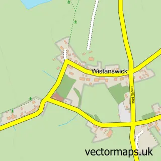
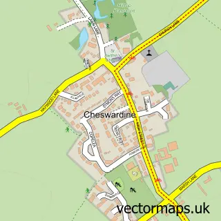
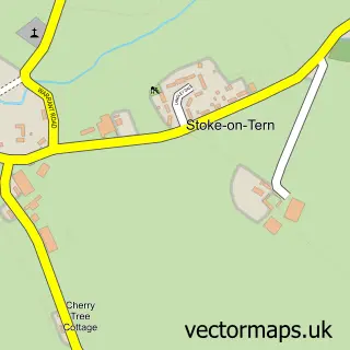
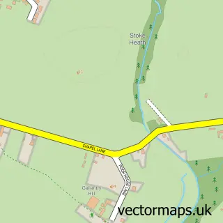
Nearby street map samples around Hinstock

More street maps in Shropshire
750 metre map area coverage
Boundary, postcode and point of interest information for the 750m x 750m rectangle centred on this sample map.
Boundaries containing map centre
Constituency: The Wrekin Co Const
District: Shropshire
Icb: NHS Shropshire Telford and Wrekin ICB
Parish: Hinstock CP
Police Force: west mercia
Postcode District: TF9
Postcode Sector: TF9 2
Nearby boundaries intersecting sample
No additional intersecting boundaries found.
Postcode coverage
POI category counts
Anglican Church: 1
Assisted Living Facility: 1
Automotive Parts And Accessories: 1
Beauty Salon: 1
Business Management Services: 1
Community Center: 1
Day Care Preschool: 1
Elementary School: 1
Furniture Store: 1
Home Cleaning: 1
Sample points of interest
- Hinstock St Oswald's
- Hinstock Manor Residential Home
- John Richards Surplus
- Magic Mirror Aesthetics Clinic and Bridal Makeup
- Marley Creative Ltd.
- Hinstock Memorial Hall
- Westview Childcare
- Hinstock Primary School
- Lazy Days
- Dragonfly Cleaning Ltd
- Maine Marketing & Associates Ltd.
- Different
Create a larger editable map of Hinstock
This sample shows only a 750 metre area. To create a larger map of Hinstock, use our map builder to choose your own coverage area, add titles and download editable SVG, PDF and PNG files.
Create a custom map of Hinstock