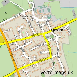
This Holdenby street map is a detailed vector street map covering a 750m x 750m area. Select a larger area to create and download your own vector street map of Holdenby.
The 750-metre map sample for Holdenby covers 49 mapped buildings and approximately 17.0 km of road detail, of which 1 named road are named. The immediate area includes 1 MOT station within 2 miles. The wider area around Holdenby features 2 tourism points of interest. To create a larger or custom map of Holdenby, the map builder lets you define your own coverage area and download editable SVG, PDF and PNG files.
Create a larger editable map of Holdenby
Choose any area you need and generate a high-quality vector map instantly. Perfect for print, planning, design, business and personal use.

This Holdenby street map in Northamptonshire is available as downloadable SVG, PDF and PNG map files, or as a printed map for planning, business, display, education, local information and design work. You can also create a larger custom map area using the map selector.
What this Holdenby map sample shows
Holdenby lies within Holdenby Cp parish, part of Ravensthorpe ward in the West Northamptonshire local authority area. The postcode geography for this area includes the NN postcode area, the NN6 postcode district and the NN6 8 postcode sector. Residents fall under the Nhs Northamptonshire Integrated Care Board for NHS services.
Local features near Holdenby
Within 2 milesAmenities and services in and around Holdenby.
Administrative and postcode information for Holdenby
The local authority covering Holdenby is West Northamptonshire, within the county of Northamptonshire. The settlement lies within Ravensthorpe ward and Holdenby Cp civil parish. The NN6 postcode district and NN6 8 postcode sector serve the immediate area. NHS provision in the area is delivered through Northampton General Hospital Nhs Trust.
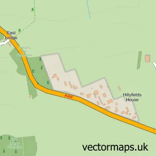
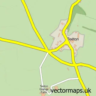
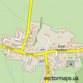
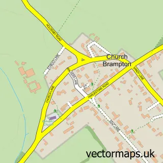
Nearby street map samples around Holdenby


More street maps in Northamptonshire
750 metre map area coverage
Boundary, postcode and point of interest information for the 750m x 750m rectangle centred on this sample map.
Boundaries containing map centre
Constituency: Daventry Co Const
District: West Northamptonshire
Icb: NHS Northamptonshire ICB
Parish: Holdenby CP
Police Force: northamptonshire
Postcode District: NN6
Postcode Sector: NN6 8
Ward: Long Buckby Ward
Nearby boundaries intersecting sample
No additional intersecting boundaries found.
Postcode coverage
POI category counts
Advertising Agency: 2
Attractions And Activities: 1
Church Cathedral: 1
Education: 1
Electronics: 1
Landmark And Historical Building: 1
Professional Services: 1
Real Estate Agent: 1
Used Car Dealer: 1
Wedding Chapel: 1
Sample points of interest
- Ferraro Wilkes & Company
- Triad Design
- Icarus Falconry
- All Saints' Church
- Muddy Education
- Miles Industrial Electronics
- Holdenby House
- M O Projects
- Albion Land
- Smart Car Centre
- Holdenby House
Create a larger editable map of Holdenby
This sample shows only a 750 metre area. To create a larger map of Holdenby, use our map builder to choose your own coverage area, add titles and download editable SVG, PDF and PNG files.
Create a custom map of Holdenby