Vector Maps logo
Home Why it works Popular maps Districts Samples Customizer Create Your Map
VectorMaps.uk
Home Popular maps Districts Samples Customizer Create Your Map Privacy Disclaimer
Home / UK Maps / Northamptonshire / Upper Harlestone Map

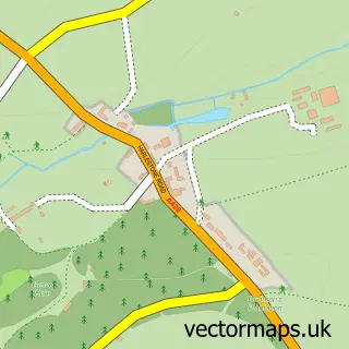
This Upper Harlestone street map is a detailed vector street map covering a 750m x 750m area. Select a larger area to create and download your own vector street map of Upper Harlestone.

Upper Harlestone is a village in Northamptonshire, in the East Midlands of England. The settlement falls within the Daventry parliamentary constituency. It is served by the NN7 postcode district, with NN7 4 as the local postcode sector.

The 750-metre map sample for Upper Harlestone covers 77 mapped buildings and approximately 14.9 km of road detail. The immediate area includes 2 MOT stations within 2 miles. The wider area around Upper Harlestone features 1 tourism point of interest. To create a larger or custom map of Upper Harlestone, the map builder lets you define your own coverage area and download editable SVG, PDF and PNG files.

77Buildings
14.9 kmRoads
0Named roads
5,289Residents within 2 miles
Create your own

Create a larger editable map of Upper Harlestone

Choose any area you need and generate a high-quality vector map instantly. Perfect for print, planning, design, business and personal use.

Choose any location
Editable SVG files
Any size up to A0
PDF, PNG & more
Instant download
High quality guaranteed
Create My Custom Map
Secure, private & no credit card required
Upper Harlestone Vector Street Map
750m Sample
Upper Harlestone vector street map sample showing roads, buildings and local features in a 750 metre preview area
Buy Upper Harlestone Map Print from £12.95 Buy Upper Harlestone Digital Map from £6

This Upper Harlestone street map in Northamptonshire is available as downloadable SVG, PDF and PNG map files, or as a printed map for planning, business, display, education, local information and design work. You can also create a larger custom map area using the map selector.

What this Upper Harlestone map sample shows

Upper Harlestone lies within Harlestone Cp parish, part of Spratton ward in the West Northamptonshire local authority area. The postcode geography for this area includes the NN postcode area, the NN7 postcode district and the NN7 4 postcode sector. Residents fall under the Nhs Northamptonshire Integrated Care Board for NHS services.

Local features near Upper Harlestone

Within 2 miles

Amenities and services in and around Upper Harlestone.

2 MOT stations within 2 miles
1 Tourism & leisure

Counts are approximate and based on publicly available data.

Administrative and postcode information for Upper Harlestone

The local authority covering Upper Harlestone is West Northamptonshire, within the county of Northamptonshire. The settlement lies within Spratton ward and Harlestone Cp civil parish. The NN7 postcode district and NN7 4 postcode sector serve the immediate area. NHS provision in the area is delivered through Northampton General Hospital Nhs Trust.

Parish Harlestone CP
Ward Spratton
District / local authority West Northamptonshire
County Northamptonshire
Historic county Northamptonshire
Postcode district NN7
Postcode sector NN7 4
Parliamentary constituency Daventry
Region East Midlands
Country England

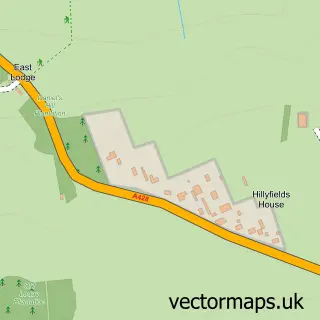
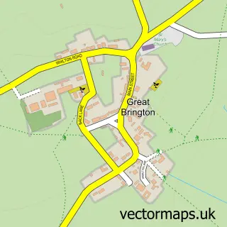
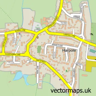
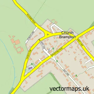
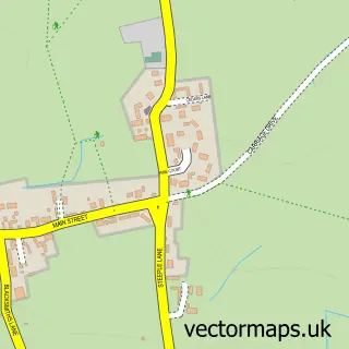
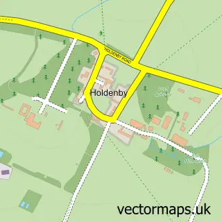
Nearby street map samples around Upper Harlestone

Street map sample of Northampton, Northamptonshire Northampton Town - Northamptonshire - 4.2 miles Street map sample of Milton Keynes, Buckinghamshire Milton Keynes City - Buckinghamshire - 18.4 miles Street map sample of Lower Harlestone, Northamptonshire Lower Harlestone Village - Northamptonshire - 0.8 miles Street map sample of Althorp, Northamptonshire Althorp Village - Northamptonshire - 0.9 miles Street map sample of Great Brington, Northamptonshire Great Brington Village - Northamptonshire - 1.9 miles Street map sample of Harpole, Northamptonshire Harpole Village - Northamptonshire - 1.9 miles Street map sample of Church Brampton, Northamptonshire Church Brampton Village - Northamptonshire - 1.9 miles Street map sample of Little Brington, Northamptonshire Little Brington Village - Northamptonshire - 2.0 miles Street map sample of Holdenby, Northamptonshire Holdenby Village - Northamptonshire - 2.4 miles Street map sample of Duston, Northamptonshire Duston Village - Northamptonshire - 2.4 miles

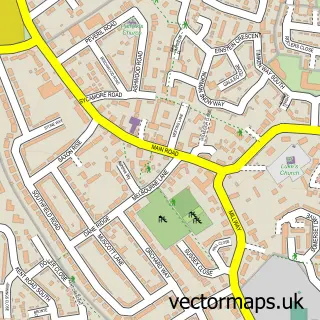
More street maps in Northamptonshire

Street map sample of Lower Harlestone, Northamptonshire Lower Harlestone Village - 0.8 miles Street map sample of Althorp, Northamptonshire Althorp Village - 0.9 miles Street map sample of Great Brington, Northamptonshire Great Brington Village - 1.9 miles Street map sample of Harpole, Northamptonshire Harpole Village - 1.9 miles Street map sample of Church Brampton, Northamptonshire Church Brampton Village - 1.9 miles

750 metre map area coverage

Boundary, postcode and point of interest information for the 750m x 750m rectangle centred on this sample map.

Boundaries containing map centre

Constituency: Daventry Co Const

District: West Northamptonshire

Icb: NHS Northamptonshire ICB

Parish: Harlestone CP

Police Force: northamptonshire

Postcode District: NN7

Postcode Sector: NN7 4

Ward: Long Buckby Ward

Nearby boundaries intersecting sample

No additional intersecting boundaries found.

Postcode coverage

NN7 NN7 4

POI category counts

Car Dealer: 2

Art Gallery: 1

Auto Upholstery: 1

Cabin: 1

Park: 1

Topic Concert Venue: 1

Sample points of interest

  • Savage Fine Art Art Gallery
  • Classic Upholstery Auto Upholstery
  • Banner Developments Cabin
  • Sell My Car 2 Dave Car Dealer
  • TT50 Ltd Car Sales Car Dealer
  • Harlestone Tiny Tots Park
  • Harlestone Village Hall Topic Concert Venue

Create a larger editable map of Upper Harlestone

This sample shows only a 750 metre area. To create a larger map of Upper Harlestone, use our map builder to choose your own coverage area, add titles and download editable SVG, PDF and PNG files.

Create a custom map of Upper Harlestone

Phone 01751 473136 | Copyright Vectormaps.uk 2026

Samples Customizer Privacy Disclaimer
Upper Harlestone Vector Street Map
Upper Harlestone enlarged street map sample showing a 750 metre preview area