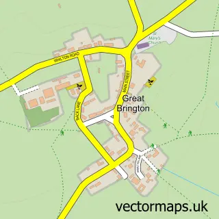
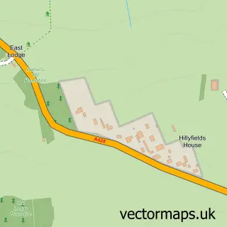
This Little Brington street map is a detailed vector street map covering a 750m x 750m area. Select a larger area to create and download your own vector street map of Little Brington.
The 750-metre map sample for Little Brington covers 92 mapped buildings and approximately 11.3 km of road detail, of which 6 named roads are named. The immediate area includes 1 school and 2 pubs. The wider area around Little Brington features 3 food and drink venues. To create a larger or custom map of Little Brington, the map builder lets you define your own coverage area and download editable SVG, PDF and PNG files.
Create a larger editable map of Little Brington
Choose any area you need and generate a high-quality vector map instantly. Perfect for print, planning, design, business and personal use.

This Little Brington street map in Northamptonshire is available as downloadable SVG, PDF and PNG map files, or as a printed map for planning, business, display, education, local information and design work. You can also create a larger custom map area using the map selector.
What this Little Brington map sample shows
Little Brington lies within Brington Cp parish, part of Ravensthorpe ward in the West Northamptonshire local authority area. The postcode geography for this area includes the NN postcode area, the NN7 postcode district and the NN7 4 postcode sector. Residents fall under the Nhs Northamptonshire Integrated Care Board for NHS services.
Local features near Little Brington
Within 2 milesAmenities and services in and around Little Brington.
Administrative and postcode information for Little Brington
Little Brington lies within Brington Cp parish, part of Ravensthorpe ward in the West Northamptonshire local authority area. The postcode geography for this area includes the NN postcode area, the NN7 postcode district and the NN7 4 postcode sector. Residents fall under the Nhs Northamptonshire Integrated Care Board for NHS services.
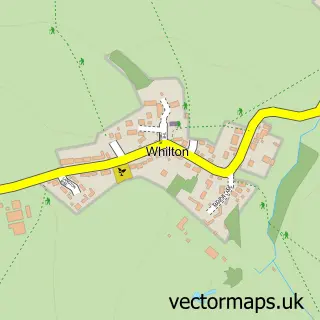
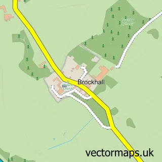
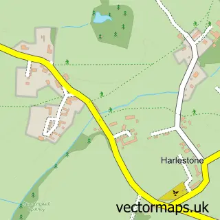
Nearby street map samples around Little Brington


More street maps in Northamptonshire
750 metre map area coverage
Boundary, postcode and point of interest information for the 750m x 750m rectangle centred on this sample map.
Boundaries containing map centre
Constituency: Daventry Co Const
District: West Northamptonshire
Icb: NHS Northamptonshire ICB
Parish: Brington CP
Police Force: northamptonshire
Postcode District: NN7
Postcode Sector: NN7 4
Ward: Long Buckby Ward
Nearby boundaries intersecting sample
No additional intersecting boundaries found.
Postcode coverage
POI category counts
Gastropub: 2
Pub: 2
Coffee Shop: 1
Elementary School: 1
Holiday Rental Home: 1
Horse Boarding: 1
Preschool: 1
Wholesale Florist: 1
Sample points of interest
- The Pantry Little Brington
- Brington Primary School
- Saracens Head
- The Saracen's Head
- Drivers Retreat
- Hillside Stables - Karina Thompson BHS Coach
- Brington & Whilton Pre-school
- The Saracen's Head
- The Saracens Head
- The Flower Pot
Create a larger editable map of Little Brington
This sample shows only a 750 metre area. To create a larger map of Little Brington, use our map builder to choose your own coverage area, add titles and download editable SVG, PDF and PNG files.
Create a custom map of Little Brington