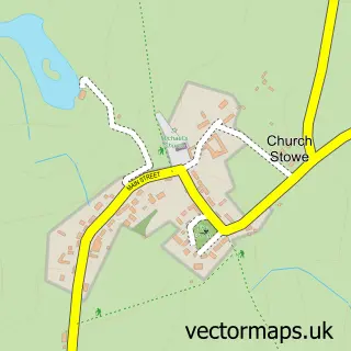
This Flore street map is a detailed vector street map covering a 750m x 750m area. Select a larger area to create and download your own vector street map of Flore.
The 750-metre map sample for Flore covers 373 mapped buildings and approximately 33.2 km of road detail, of which 24 named roads are named. The immediate area includes 1 GP surgery within 2 miles, 1 pub and 1 MOT station within 2 miles. The wider area around Flore features 1 tourism point of interest, 3 food and drink venues and 2 hotels. To create a larger or custom map of Flore, the map builder lets you define your own coverage area and download editable SVG, PDF and PNG files.
Create a larger editable map of Flore
Choose any area you need and generate a high-quality vector map instantly. Perfect for print, planning, design, business and personal use.

This Flore street map in Northamptonshire is available as downloadable SVG, PDF and PNG map files, or as a printed map for planning, business, display, education, local information and design work. You can also create a larger custom map area using the map selector.
What this Flore map sample shows
Flore lies within Flore Cp parish, part of Weedon ward in the West Northamptonshire local authority area. The postcode geography for this area includes the NN postcode area, the NN7 postcode district and the NN7 4 postcode sector. Residents fall under the Nhs Northamptonshire Integrated Care Board for NHS services.
Local features near Flore
Within 2 milesAmenities and services in and around Flore.
Administrative and postcode information for Flore
Flore lies within Flore Cp parish, part of Weedon ward in the West Northamptonshire local authority area. The postcode geography for this area includes the NN postcode area, the NN7 postcode district and the NN7 4 postcode sector. Residents fall under the Nhs Northamptonshire Integrated Care Board for NHS services.
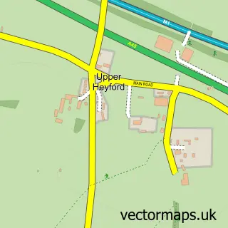
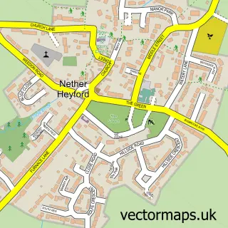
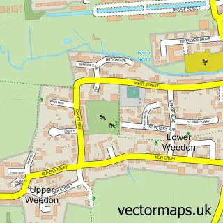
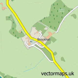
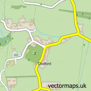
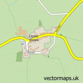
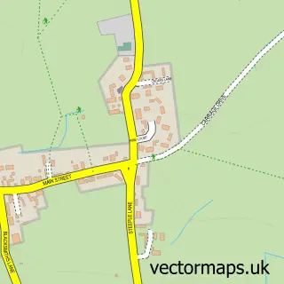
Nearby street map samples around Flore


More street maps in Northamptonshire
750 metre map area coverage
Boundary, postcode and point of interest information for the 750m x 750m rectangle centred on this sample map.
Boundaries containing map centre
Constituency: Daventry Co Const
District: West Northamptonshire
Icb: NHS Northamptonshire ICB
Parish: Flore CP
Police Force: northamptonshire
Postcode District: NN7
Postcode Sector: NN7 4
Ward: Campion Ward
Nearby boundaries intersecting sample
No additional intersecting boundaries found.
Postcode coverage
POI category counts
Professional Services: 3
Building Supply Store: 2
Cafe: 2
Community Center: 2
Convenience Store: 2
Hotel: 2
Martial Arts Club: 2
Abuse And Addiction Treatment: 1
Advertising Agency: 1
Anglican Church: 1
Sample points of interest
- Addictions Recovery UK
- Idilik
- Flore United Reformed Church
- A & M Washing Machine Services
- Barneys Boiler's
- Paul Rowles Kitchens
- Flore
- Re
- Flore United Reformed Church
- Flore Millennium Hall
- Millenium Hall, Flore, Northants
- Flore Village Convenience Store
Create a larger editable map of Flore
This sample shows only a 750 metre area. To create a larger map of Flore, use our map builder to choose your own coverage area, add titles and download editable SVG, PDF and PNG files.
Create a custom map of Flore