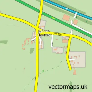
This Nether Heyford street map is a detailed vector street map covering a 750m x 750m area. Select a larger area to create and download your own vector street map of Nether Heyford.
The 750-metre map sample for Nether Heyford covers 419 mapped buildings and approximately 32.2 km of road detail, of which 25 named roads are named. The immediate area includes 1 school, 1 GP surgery within 2 miles, 2 pubs and 1 MOT station within 2 miles. The wider area around Nether Heyford features 1 tourism point of interest and 3 food and drink venues. To create a larger or custom map of Nether Heyford, the map builder lets you define your own coverage area and download editable SVG, PDF and PNG files.
Create a larger editable map of Nether Heyford
Choose any area you need and generate a high-quality vector map instantly. Perfect for print, planning, design, business and personal use.

This Nether Heyford street map in Northamptonshire is available as downloadable SVG, PDF and PNG map files, or as a printed map for planning, business, display, education, local information and design work. You can also create a larger custom map area using the map selector.
What this Nether Heyford map sample shows
Nether Heyford lies within Nether Heyford Cp parish, part of Heyfords And Bugbrooke ward in the West Northamptonshire local authority area. The postcode geography for this area includes the NN postcode area, the NN7 postcode district and the NN7 3 postcode sector. Residents fall under the Nhs Northamptonshire Integrated Care Board for NHS services.
Local features near Nether Heyford
Within 2 milesAmenities and services in and around Nether Heyford.
Administrative and postcode information for Nether Heyford
The local authority covering Nether Heyford is West Northamptonshire, within the county of Northamptonshire. The settlement lies within Heyfords And Bugbrooke ward and Nether Heyford Cp civil parish. The NN7 postcode district and NN7 3 postcode sector serve the immediate area. NHS provision in the area is delivered through Northampton General Hospital Nhs Trust.
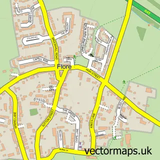
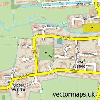
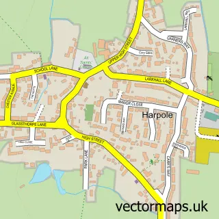
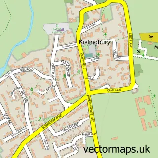
Nearby street map samples around Nether Heyford


More street maps in Northamptonshire
750 metre map area coverage
Boundary, postcode and point of interest information for the 750m x 750m rectangle centred on this sample map.
Boundaries containing map centre
Constituency: South Northamptonshire Co Const
District: West Northamptonshire
Icb: NHS Northamptonshire ICB
Parish: Nether Heyford CP
Police Force: northamptonshire
Postcode District: NN7
Postcode Sector: NN7 3
Ward: Campion Ward
Nearby boundaries intersecting sample
No additional intersecting boundaries found.
Postcode coverage
POI category counts
Convenience Store: 2
Post Office: 2
Pub: 2
Anglican Church: 1
Antique Store: 1
Building Supply Store: 1
Business: 1
Child Care And Day Care: 1
Coffee Shop: 1
Community Center: 1
Sample points of interest
- St Peter & St Paul
- REstore24
- Alderman Roofing Ltd
- Jo Ashby Virtual Assistant
- Nether Heyford Pre-School
- Artea Room
- Nether Heyford Village Hall
- A J Kirkbride
- One Stop
- One Stop Stores
- Heyford Drive Skool
- C J Rooney Electrical Services
Create a larger editable map of Nether Heyford
This sample shows only a 750 metre area. To create a larger map of Nether Heyford, use our map builder to choose your own coverage area, add titles and download editable SVG, PDF and PNG files.
Create a custom map of Nether Heyford