This East Haddon street map is a detailed vector street map covering a 750m x 750m area. Select a larger area to create and download your own vector street map of East Haddon.
The 750-metre map sample for East Haddon covers 217 mapped buildings and approximately 13.9 km of road detail, of which 13 named roads are named. The immediate area includes 1 school, 1 pub and 1 MOT station within 2 miles. The wider area around East Haddon features 2 food and drink venues. To create a larger or custom map of East Haddon, the map builder lets you define your own coverage area and download editable SVG, PDF and PNG files.
Create a larger editable map of East Haddon
Choose any area you need and generate a high-quality vector map instantly. Perfect for print, planning, design, business and personal use.

This East Haddon street map in Northamptonshire is available as downloadable SVG, PDF and PNG map files, or as a printed map for planning, business, display, education, local information and design work. You can also create a larger custom map area using the map selector.
What this East Haddon map sample shows
East Haddon lies within East Haddon Cp parish, part of Ravensthorpe ward in the West Northamptonshire local authority area. The postcode geography for this area includes the NN postcode area, the NN6 postcode district and the NN6 8 postcode sector. Residents fall under the Nhs Northamptonshire Integrated Care Board for NHS services.
Local features near East Haddon
Within 2 milesAmenities and services in and around East Haddon.
Administrative and postcode information for East Haddon
East Haddon lies within East Haddon Cp parish, part of Ravensthorpe ward in the West Northamptonshire local authority area. The postcode geography for this area includes the NN postcode area, the NN6 postcode district and the NN6 8 postcode sector. Residents fall under the Nhs Northamptonshire Integrated Care Board for NHS services.
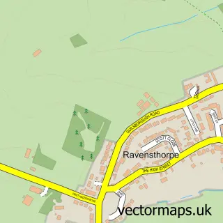
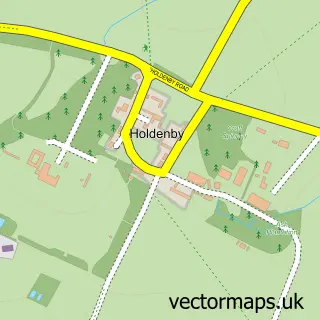
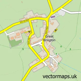
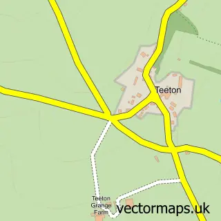
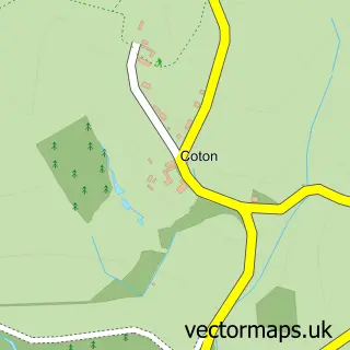
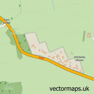
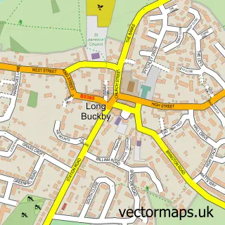
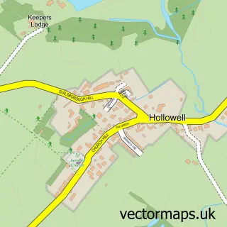
Nearby street map samples around East Haddon


More street maps in Northamptonshire
750 metre map area coverage
Boundary, postcode and point of interest information for the 750m x 750m rectangle centred on this sample map.
Boundaries containing map centre
Constituency: Daventry Co Const
District: West Northamptonshire
Icb: NHS Northamptonshire ICB
Parish: East Haddon CP
Police Force: northamptonshire
Postcode District: NN6
Postcode Sector: NN6 8
Ward: Long Buckby Ward
Nearby boundaries intersecting sample
No additional intersecting boundaries found.
Postcode coverage
POI category counts
Professional Services: 2
Advertising Agency: 1
Anglican Church: 1
Business Manufacturing And Supply: 1
Dance School: 1
Education: 1
Elementary School: 1
Gardener: 1
It Service And Computer Repair: 1
Metal Supplier: 1
Sample points of interest
- Andrew Baskott Copywriting
- St. Mary the Virgin Church, East Haddon
- Haddonstone Ltd
- Northamptonshire School of Dance & Pilates
- Shires Cookery School
- East Haddon C of E Primary School
- Acorn Landscapes
- The Computer Man
- Haddoncraft Forge
- Mpa
- Thermographic Services
- The Red Lion
Create a larger editable map of East Haddon
This sample shows only a 750 metre area. To create a larger map of East Haddon, use our map builder to choose your own coverage area, add titles and download editable SVG, PDF and PNG files.
Create a custom map of East Haddon